Réserve naturelle de l'Île-Longue, natural reserve of Quebec
Location: Stanstead
Inception: June 21, 2006
GPS coordinates: 45.06610,-72.26850
Latest update: November 23, 2025 00:38
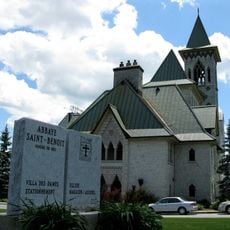
Saint Benedict Abbey
11.2 km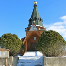
Holy Transfiguration skete
11.7 km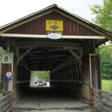
Pont Narrows
6.1 km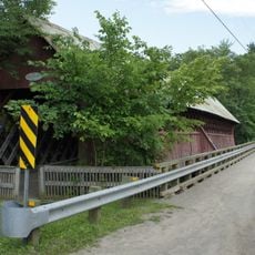
Pont de la Frontière
10.2 km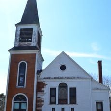
Ancienne église Wesley United
11.6 km
Parc de la rivière Missisquoi Nord
9.6 km
Réserve naturelle du Mont-Éléphant
8.5 km
Pont Lamoureux
11.2 km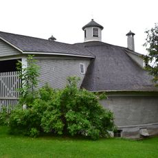
Grange circulaire Damase-Amédée-Dufresne
10.3 km
Mont Hog's Back
8.7 km
Mont Sugar Loaf
6.8 km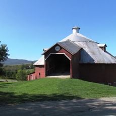
Grange ronde de Mansonville
9.9 km
Réserve naturelle Tyre-Macfarlane
11.4 km
Réserve naturelle du Ruisseau-Tompkin
4.7 km
Club de Golf Inverugie
8 km
Club de golf Owl's Head
3.9 km
Grande ronde de Mansonville
10 km
Jeux d'eau
11.2 km
Musee d'Art Singulier Contemporain
9.9 km
Plage municipale
8.2 km
Plage de Mansonville
3.6 km
Plage Weir
6.3 km
Work of art
6.1 km
Scenic viewpoint
10.2 km
Scenic viewpoint
2.6 km
Scenic viewpoint
2.4 km
Chutes de Mansonville
9.6 km
Chutes de mansonville
9.6 kmReviews
Visited this place? Tap the stars to rate it and share your experience / photos with the community! Try now! You can cancel it anytime.
Discover hidden gems everywhere you go!
From secret cafés to breathtaking viewpoints, skip the crowded tourist spots and find places that match your style. Our app makes it easy with voice search, smart filtering, route optimization, and insider tips from travelers worldwide. Download now for the complete mobile experience.

A unique approach to discovering new places❞
— Le Figaro
All the places worth exploring❞
— France Info
A tailor-made excursion in just a few clicks❞
— 20 Minutes