
Sautens, municipality in Imst District, Tyrol, Austria
Location: Imst District
Elevation above the sea: 812 m
Email: gemeinde@sautens.tirol.gv.at
Website: http://sautens.tirol.gv.at
GPS coordinates: 47.20833,10.86528
Latest update: March 12, 2025 22:29

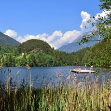
Pipurger Speicher
2.3 km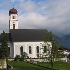
Pfarrkirche Sautens
193 m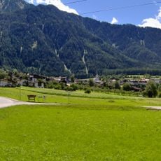
Holzberg
2.2 km
Hoher Karkopf
4.4 km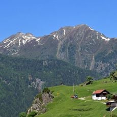
Erster Karkopf
3.4 km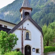
Alte Blasiuskapelle Piburg
1.7 km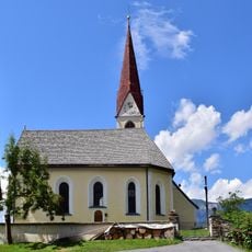
Filialkirche Oetzer Au
1.1 km
Mittlerer Karkopf
3.8 km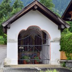
Herz-Jesu-Kapelle in Reitle
724 m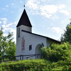
Neue Blasiuskapelle Piburg
1.7 km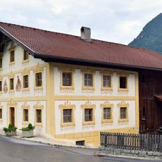
Bauernhaus, Kasselas
465 m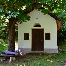
Kapelle in der Auerklamm
1.3 km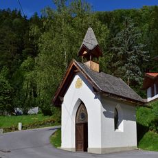
Wegkapelle in Ebene
702 m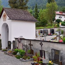
Alte Friedhofskapelle Sautens
261 m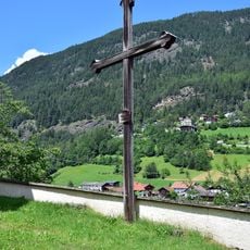
Friedhof
1.1 km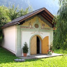
Ehemalige Friedhofskapelle Sautens
60 m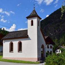
Ortskapelle Ambach
830 m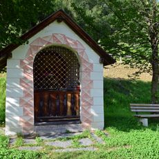
Mariahilfkapelle/Kapelle Untersteinach
1.1 km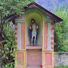
Bildstock
85 m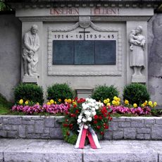
Kriegerdenkmal
228 m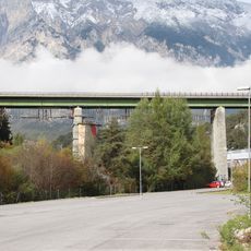
Straßenbrücke, Ötztaler Talbrücke
2.6 km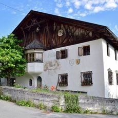
Bauernhaus in Piburg 6
1.7 km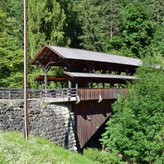
Teufelsbrücke über den Stuibenbach
733 m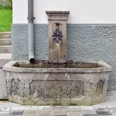
Jakobsbrunnen in Wegscheide
37 m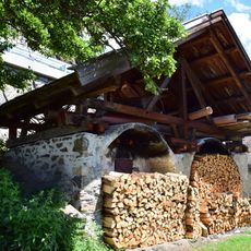
Doppelbackofen in Oetzerau
1.1 km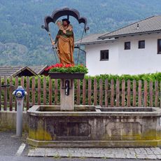
Brunnen in Vorderrain
266 m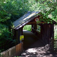
Holzbrücke über die Auerklamm
1.3 km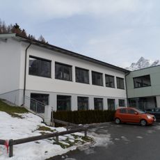
Volksschule Ötzerau
1.3 kmVisited this place? Tap the stars to rate it and share your experience / photos with the community! Try now! You can cancel it anytime.
Discover hidden gems everywhere you go!
From secret cafés to breathtaking viewpoints, skip the crowded tourist spots and find places that match your style. Our app makes it easy with voice search, smart filtering, route optimization, and insider tips from travelers worldwide. Download now for the complete mobile experience.

A unique approach to discovering new places❞
— Le Figaro
All the places worth exploring❞
— France Info
A tailor-made excursion in just a few clicks❞
— 20 Minutes