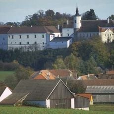
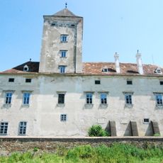
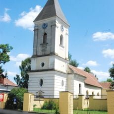
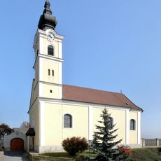
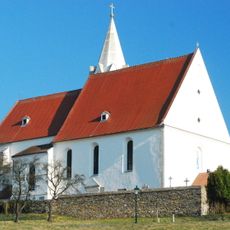
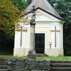
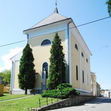
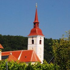
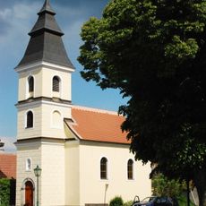
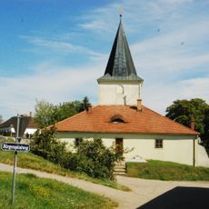
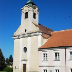
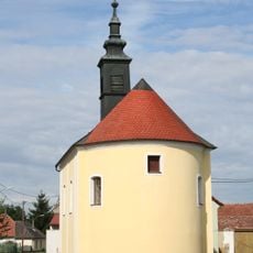
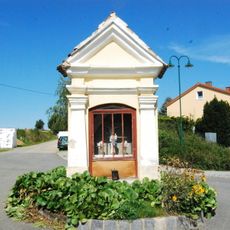
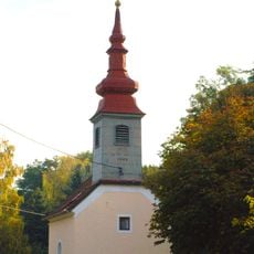
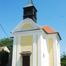
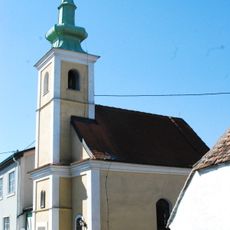
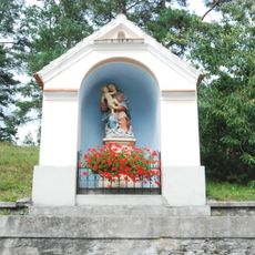
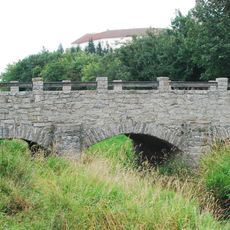
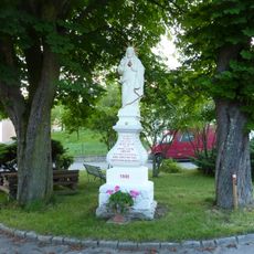
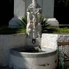
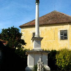
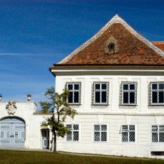
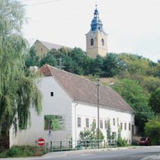
Weitersfeld, municipality in Horn District, Lower Austria, Austria
Location: Horn District
Elevation above the sea: 441 m
Shares border with: Langau, Hardegg, Retz, Schrattenthal, Sigmundsherberg, Geras
Email: gemeinde@weitersfeld.at
Website: http://weitersfeld.at
GPS coordinates: 48.78222,15.81111
Latest update: March 4, 2025 07:49
Schloss Fronsburg
2.3 km
Schloss Oberhöflein
5.5 km
Pfarrkirche Pleissing
3.4 km
Pfarrkirche Obermixnitz
3.3 km
Maria im Gebirge, Sallapulka
7.2 km
Fronsburger Bründl
3.1 km
Pfarrkirche Oberhöflein
5.6 km
Pfarrkirche Waitzendorf
7 km
Pfarrkirche hl. Martin, Weitersfeld
318 m
Ortskapelle hl. Rosalia (Untermixnitz, ObjektID: 56049)
3.6 km
Ehem. Bürgerspital
136 m
Kath. Filialkirche hll. Petrus und Paulus
6.4 km
Ortskapelle Oberfladnitz
4 km
Flur-/Wegkapelle
5.4 km
Passendorf Ortskapelle
5.3 km
Barbarakapelle
1.8 km
Ortskapelle Rassingdorf
3.6 km
Wegkapelle
4.2 km
Fugnitzbrücke
2.3 km
Figurenbildstock Herz Jesu
5.7 km
Brunnen
6.9 km
Figurenbildstock hl. Johannes Nepomuk
154 m
Schloss Starrein
4 km
Figurenbildstock hl. Johannes Nepomuk
1.9 km
Johannes-Nepomuk-Statue
3.7 km
Gnadenstuhl
6.9 km
Pfarrhof Waitzendorf, Gemeinde Schrattenthal
6.9 km
Sog. Bräuhaus
336 mReviews
Visited this place? Tap the stars to rate it and share your experience / photos with the community! Try now! You can cancel it anytime.
Discover hidden gems everywhere you go!
From secret cafés to breathtaking viewpoints, skip the crowded tourist spots and find places that match your style. Our app makes it easy with voice search, smart filtering, route optimization, and insider tips from travelers worldwide. Download now for the complete mobile experience.
A unique approach to discovering new places❞
— Le Figaro
All the places worth exploring❞
— France Info
A tailor-made excursion in just a few clicks❞
— 20 Minutes