
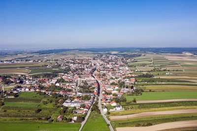
Auersthal, municipality in Gänserndorf District, Lower Austria, Austria
Location: Gänserndorf District
Elevation above the sea: 178 m
Shares border with: Groß-Schweinbarth, Matzen-Raggendorf, Schönkirchen-Reyersdorf, Bockfließ, Wolkersdorf im Weinviertel
Email: gemeinde@auersthal.at
Website: http://auersthal.at
GPS coordinates: 48.37417,16.63611
Latest update: March 16, 2025 16:16
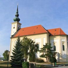
Pfarrkirche
4.7 km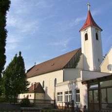
Pfarrkirche
2.7 km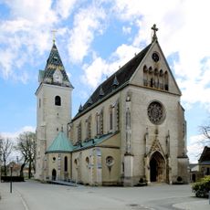
Pfarrkirche (Großengersdorf)
5.3 km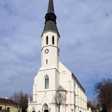
Pfarrkirche (Bockfließ)
2.8 km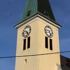
Filialkirche
3.7 km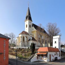
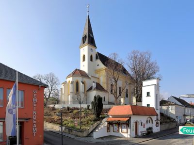
Auersthal Pfarrkirche
93 m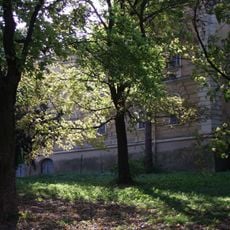
Schloss Schönkirchen
4.6 km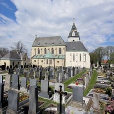
Friedhofsanlage
5.3 km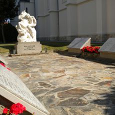
Kriegerdenkmal
2.9 km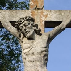
Kalvarienberg
2.9 km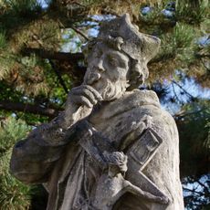
Statue of John of Nepomuk, Großengersdorf
5.2 km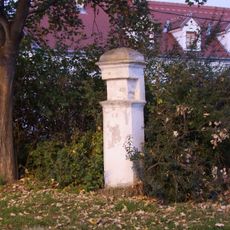
Bildstock Ost Großengersdorf
4.7 km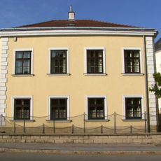
Pfarrhof
2.9 km
Kaffeehaus Bockfließ
2.8 km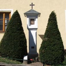
Bildstock, sog. Pestmarterl
32 m
Schloss Raggendorf
2.8 km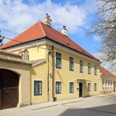
Pfarrhof Großengersdorf
5.3 km
Grabkreuz
4.7 km
Hl. Nepomuk
3.6 km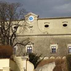
Schloss Bockfließ
2.9 km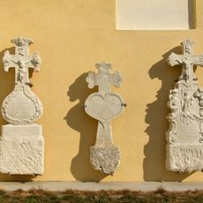
Grabkreuz
4.7 km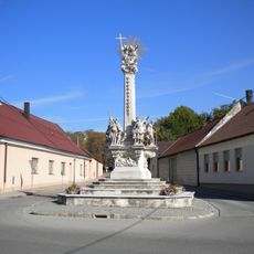
Dreifaltigkeitssäule
3 km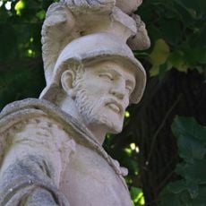
Hl. Florian
3.7 km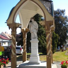
Nepomukstatue
2.8 km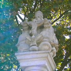
Brezlbua
2.5 km
Pranger
3.1 km
Awarisches Gräberfeld Schönkirchen
4.7 km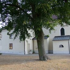
Kirchhof
2.7 kmVisited this place? Tap the stars to rate it and share your experience / photos with the community! Try now! You can cancel it anytime.
Discover hidden gems everywhere you go!
From secret cafés to breathtaking viewpoints, skip the crowded tourist spots and find places that match your style. Our app makes it easy with voice search, smart filtering, route optimization, and insider tips from travelers worldwide. Download now for the complete mobile experience.

A unique approach to discovering new places❞
— Le Figaro
All the places worth exploring❞
— France Info
A tailor-made excursion in just a few clicks❞
— 20 Minutes