
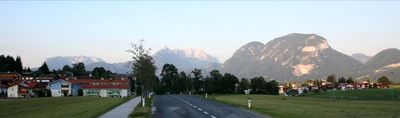
Angerberg, municipality in Kufstein District, Tyrol, Austria
Location: Kufstein District
Elevation above the sea: 650 m
Shares border with: Breitenbach am Inn
Email: gemeinde@angerberg.gv.at
Website: http://angerberg.at
GPS coordinates: 47.50000,12.01667
Latest update: March 9, 2025 09:45
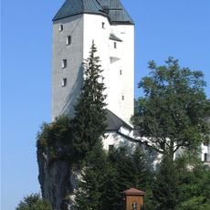
Mariastein - Castle and church
4.1 km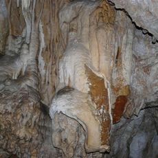
Hundalm-Eishöhle
5.1 km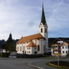
Pfarrkirche hl. Geist, Angath
3.7 km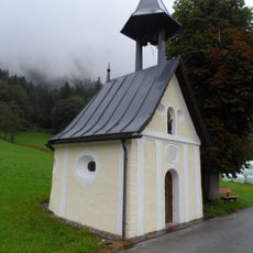
Thalerkapelle
1.8 km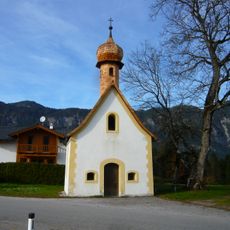
Dorferkapelle, Angerberg
687 m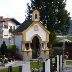
Friedhofskapelle
3.7 km
Schulhauskapelle, Angerberg
1.9 km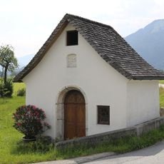
Schlöglhofkapelle
3.7 km
Kreuzweg von der Firstkapelle nach Mariastein
3.8 km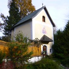
Firstkapelle zum Leidenden Heiland/ Fürthkapelle
3.8 km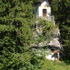
Steinkapelle
2.2 km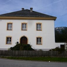
Widum
3.8 km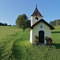
Kapelle Im Thal
990 m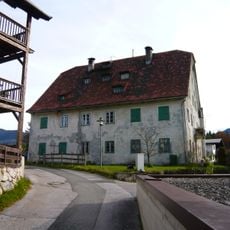
Ehem. Verwalterhaus der Eisenhütte
4.1 km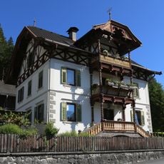
Villa Embach 68
4.1 km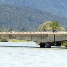
Wörgler Innbrücke
3.1 km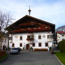
Gasthaus Kammerhof
3.7 km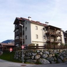
Ehem. Schüttkasten
4.1 km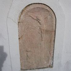
Grabrelief Simon Embacher
3.8 km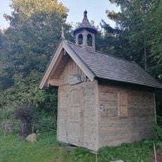
Brudersdorfkapelle
2 km
Baumgartenkapelle
2.6 km
Bärnbadkapelle
5.6 km
Pfaringer Kapelle
1.2 km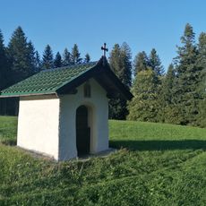
Speckalkapelle
2.9 km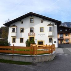
Altes Schulhaus
3.6 km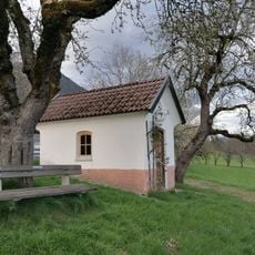
Wartlsteinkapelle
3.5 km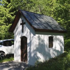
Gattererkapelle
3 km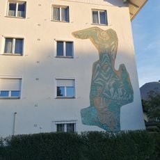
Wandmalerei Psalm 23
3.6 kmVisited this place? Tap the stars to rate it and share your experience / photos with the community! Try now! You can cancel it anytime.
Discover hidden gems everywhere you go!
From secret cafés to breathtaking viewpoints, skip the crowded tourist spots and find places that match your style. Our app makes it easy with voice search, smart filtering, route optimization, and insider tips from travelers worldwide. Download now for the complete mobile experience.

A unique approach to discovering new places❞
— Le Figaro
All the places worth exploring❞
— France Info
A tailor-made excursion in just a few clicks❞
— 20 Minutes