
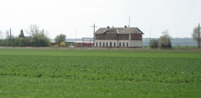
Bernhardsthal, municipality in Mistelbach District, Lower Austria, Austria
Location: Mistelbach District
Elevation above the sea: 166 m
Shares border with: Valtice, Břeclav, Rabensburg, Hausbrunn, Altlichtenwarth, Großkrut, Schrattenberg
Email: gemeinde@bernhardsthal.gv.at
Website: http://bernhardsthal.gv.at
GPS coordinates: 48.69250,16.86917
Latest update: March 11, 2025 11:42
Castle Lány (Břeclav)
4.2 km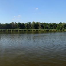
Františkův rybník (nature reserve)
2.9 km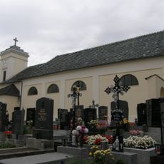
Pfarrkirche Reintal
3.4 km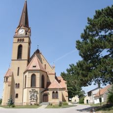
Pfarrkirche Katzelsdorf
6.5 km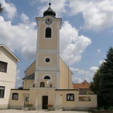
Saint Giles Church
57 m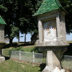
Rosenkranzpark Katzelsdorf
6.6 km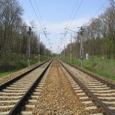
Břeclav-Bernhardsthal railway border crossing
2.2 km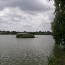
Ortswüstung Ödenkirchen
847 m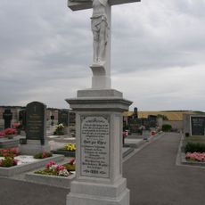
Katzelsdorf Friedhof
6.5 km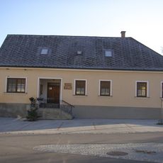
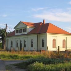
Otto Berger Heimatmuseum
127 m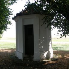
Wegkapelle, Bernhardsthal
645 m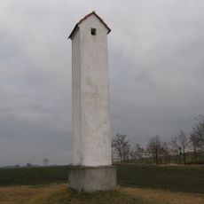
Großkrut Galgen
8.5 km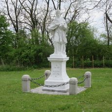
John of Nepomuk
1.1 km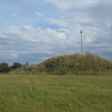
Tumuli in Bernhardsthal
2.3 km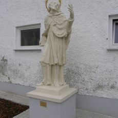
Statue of John of Nepomuk in Reintal
3.6 km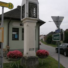
Bildstock
6.3 km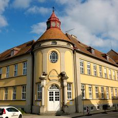
Kloster Sankt Martha
94 m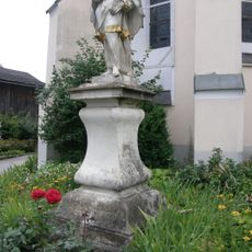
John of Nepomuk
56 m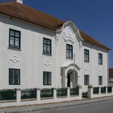
Rectory in Katzelsdorf
6.3 km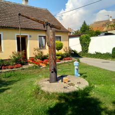
Memorial
553 m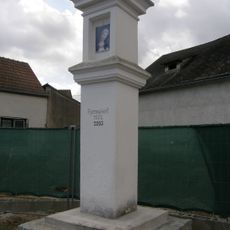
Bildstock Hauptstraße, Bernhardsthal
513 m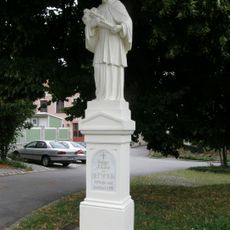
Figurenbildstock hl. Johannes Nepomuk
3.3 km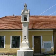
Bildstock Marterberg, Katzelsdorf
6.8 km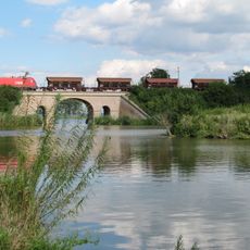
Viaduct Bernhardsthal
573 m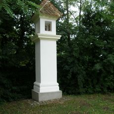
Bildstock
3.5 km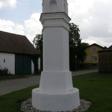
Bildstock Hametweg, Katzelsdorf
6.2 km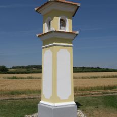
Bildstock Achtelkreuz
7 km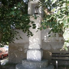
Bildstock
338 mReviews
Visited this place? Tap the stars to rate it and share your experience / photos with the community! Try now! You can cancel it anytime.
Discover hidden gems everywhere you go!
From secret cafés to breathtaking viewpoints, skip the crowded tourist spots and find places that match your style. Our app makes it easy with voice search, smart filtering, route optimization, and insider tips from travelers worldwide. Download now for the complete mobile experience.

A unique approach to discovering new places❞
— Le Figaro
All the places worth exploring❞
— France Info
A tailor-made excursion in just a few clicks❞
— 20 Minutes