
Waldenstein, municipality in Gmünd District, Lower Austria, Austria
Location: Gmünd District
Elevation above the sea: 575 m
Shares border with: Gmünd, Schweiggers, Kirchberg am Walde, Hoheneich, Großdietmanns, Weitra
Email: gemeinde@waldenstein.at
Website: http://waldenstein.at
GPS coordinates: 48.72778,15.01667
Latest update: March 3, 2025 14:14


Sole-Felsen-Bad Gmünd
3.8 km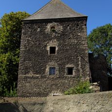
Kuenringerturm Weißenalbern
4 km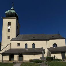
Pfarrkirche hl. Johannes der Täufer, Weißenalbern
4.1 km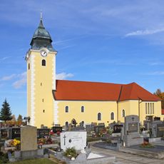
Pfarrkirche hl. Michael, Waldenstein
250 m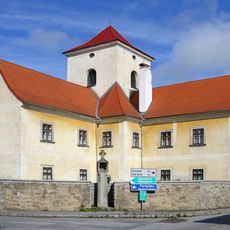
Bürgerspital, Kirchberg am Walde
5 km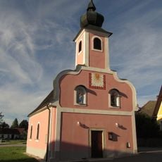
Ortskapelle Ullrichs, Kirchberg am Walde
3.6 km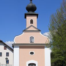
Ortskapelle Hörmanns bei Weitra
3.8 km
Ortskapelle Groß-Neusiedl
1.5 km
Ortskapelle Zum Leidenden Heiland
2.6 km
Gedenkstätte für NS-Opfer
4.4 km
Ortskapelle
2.6 km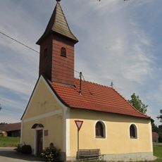
Ortskapelle Großreichenbach
4.6 km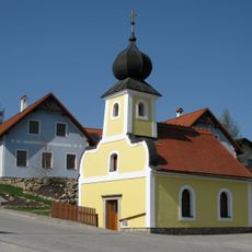
Ortskapelle Albrechts
1.9 km
Ortskapelle Groß-Höbarten
1.8 km
Ortskapelle Streitbach
4.6 km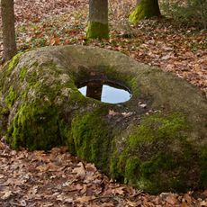
Christkindlstein
4 km
Granite boulder near Ullrichs
3.4 km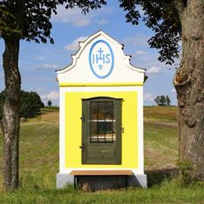
Schneider-Marterl bei Waldenstein
799 m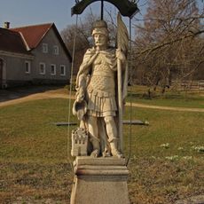
Figurenbildstock hl. Florian
4.4 km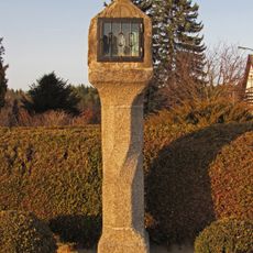
Bildstock
3.3 km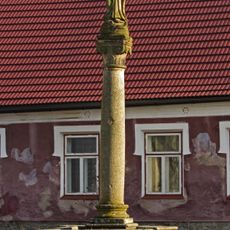
Immaculatasäule
4.1 km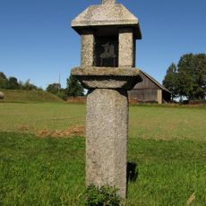
Tabernakelpfeiler Weißenalbern
3.9 km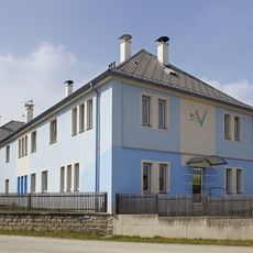
Wallfahrts- und Gemeindemuseum Waldenstein
161 m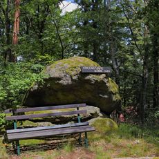
Kohlschusterberg
4.6 km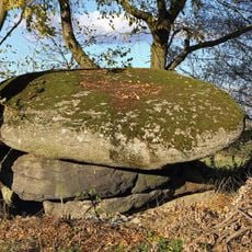
Hoa Stoan ("High stone")
3.1 km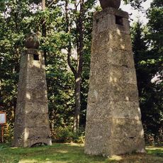
Gallow, Kirchberg am Walde
4.3 km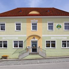
Public Library Waldenstein
267 m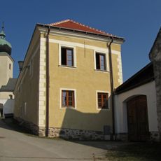
Pfarrhof
4.1 kmReviews
Visited this place? Tap the stars to rate it and share your experience / photos with the community! Try now! You can cancel it anytime.
Discover hidden gems everywhere you go!
From secret cafés to breathtaking viewpoints, skip the crowded tourist spots and find places that match your style. Our app makes it easy with voice search, smart filtering, route optimization, and insider tips from travelers worldwide. Download now for the complete mobile experience.

A unique approach to discovering new places❞
— Le Figaro
All the places worth exploring❞
— France Info
A tailor-made excursion in just a few clicks❞
— 20 Minutes