
Gaubitsch, municipality in Mistelbach District, Lower Austria, Austria
Location: Mistelbach District
Elevation above the sea: 229 m
Shares border with: Unterstinkenbrunn, Laa an der Thaya, Fallbach, Gnadendorf, Stronsdorf
Email: gemeinde@gemeinde-gaubitsch.at
Website: http://gaubitsch.at
GPS coordinates: 48.65000,16.38333
Latest update: March 12, 2025 16:10

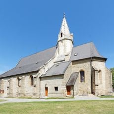
Pfarrkirche Fallbach
2.8 km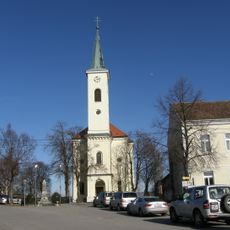
Pfarrkirche Hanfthal
6 km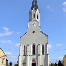
Pfarrkirche Unterstinkenbrunn
3.2 km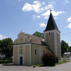
Hagendorf Filialkirche
4.5 km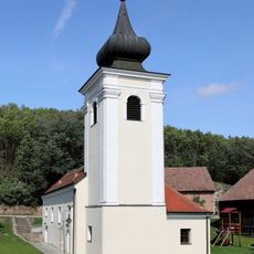
Kath. Pfarrkirche hl. Antonius der Einsiedler
3.6 km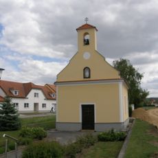
Ortskapelle Unterschoderlee
4.4 km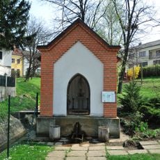
Angerkapelle hl. Johannes d. T.
3.2 km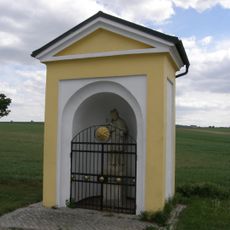
Wegkapelle hl. Johannes Nepomuk
2.5 km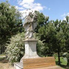
Figurenbildstock hl. Johannes Nepomuk
2.8 km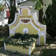
Sog. Kaiserbrunnen
3.4 km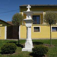
Bildstock
3 km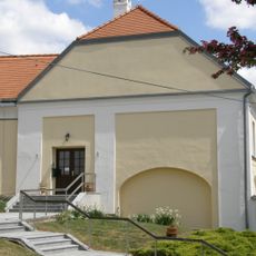
Pfarrhof
701 m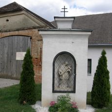
Bildstock hl. Johannes Nepomuk
1.6 km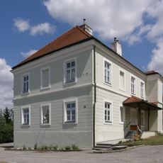
Pfarrhof
2.5 km
Schloss Unterstinkenbrunn
3.5 km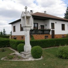
Bildstock
2.1 km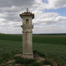
Bildstock
4.2 km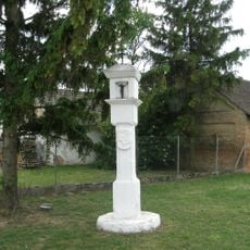
Bildstock
4.6 km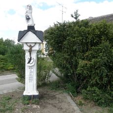
Bildstock Oberschoderlee, Gemeinde Stronsdorf
3.5 km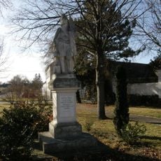
Figurenbildstock hl. Florian
5.7 km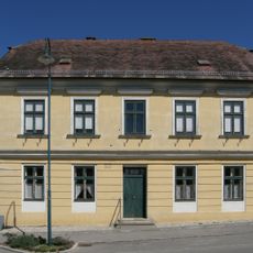
Pfarrhof
3.1 km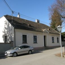
Pfarrhof
6.1 km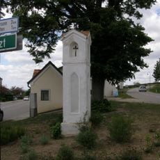
Lichtsäule
953 m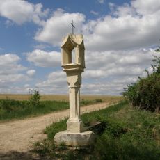
Lichtsäule
599 m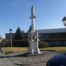
Mariensäule Maria Immaculata
6 km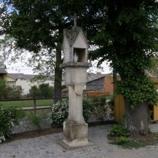
Lichtsäule
414 m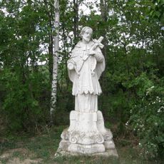
Figurenbildstock hl. Johannes Nepomuk, Schwarzer Johannes
1.8 km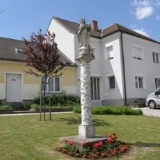
Mariensäule
2.3 kmReviews
Visited this place? Tap the stars to rate it and share your experience / photos with the community! Try now! You can cancel it anytime.
Discover hidden gems everywhere you go!
From secret cafés to breathtaking viewpoints, skip the crowded tourist spots and find places that match your style. Our app makes it easy with voice search, smart filtering, route optimization, and insider tips from travelers worldwide. Download now for the complete mobile experience.

A unique approach to discovering new places❞
— Le Figaro
All the places worth exploring❞
— France Info
A tailor-made excursion in just a few clicks❞
— 20 Minutes