
Oberwaltersdorf, municipality in Baden District, Lower Austria, Austria
Location: Baden District
Elevation above the sea: 214 m
Shares border with: Trumau, Baden, Tattendorf, Traiskirchen, Ebreichsdorf, Pottendorf
Email: gemeindeamt@oberwaltersdorf.gv.at
Website: http://oberwaltersdorf.at
GPS coordinates: 47.97694,16.32528
Latest update: March 21, 2025 16:15

Schloss Trumau
2 km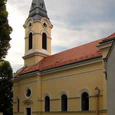
Pfarrkirche Tattendorf
2.7 km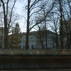
Schloss Oberwaltersdorf
530 m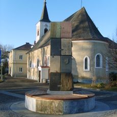
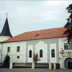
Pfarrkirche hl. Jakobus der Ältere, Oberwaltersdorf
440 m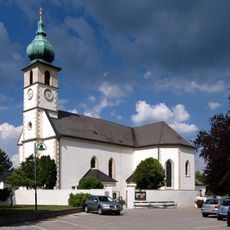
Pfarrkirche Trumau
2.5 km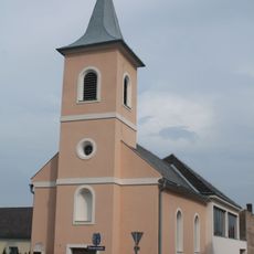
Pfarrkirche Oeynhausen
2.6 km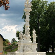
Holy Trinity column, Trumau
2.4 km
Golfclub Fontana
1.2 km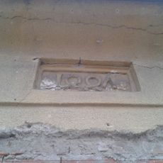
Synagoge (Oberwaltersdorf)
265 m
Golf Club Schloß Ebreichsdorf
4.6 km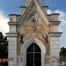
Friedhof Oberwaltersdorf
285 m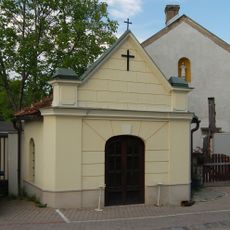
Johannes Nepomuk-Kapelle
203 m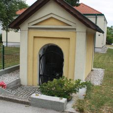
Flur-/Wegkapelle
2.6 km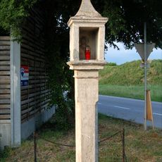
Bildstock Weißes Kreuz
1 km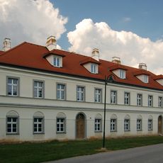
Wohnhaus Hofrichterhaus
2.1 km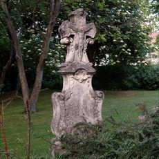
Rokokograbstein
442 m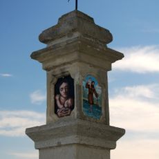
Wayside cross Bahnstraße 3, Trumau
2.1 km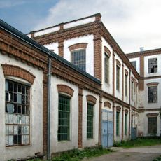
Spinnerei Oberwaltersdorf
365 m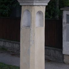
Wayside cross Weingartenstraße, Oberwaltersdorf
519 m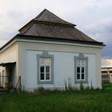
Zwei Pavillons/Gartenhäuser
2 km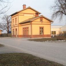
Ober Waltersdorf railway station
307 m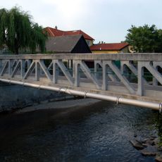
Visintini bridge, Oberwaltersdorf
238 m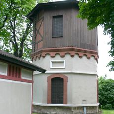
Water tower at Tattendorf railway station
2.8 km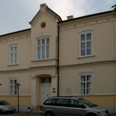
Pfarrhof
2.7 km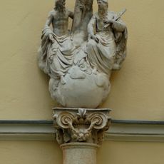
Pest-/Dreifaltigkeitssäule
2.7 km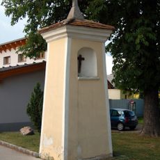
Bildstock
2.3 km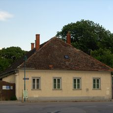
Former Pfarrhof, Kirchengasse 2 Trumau
2.3 km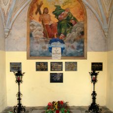
Mausoleum
2.6 kmReviews
Visited this place? Tap the stars to rate it and share your experience / photos with the community! Try now! You can cancel it anytime.
Discover hidden gems everywhere you go!
From secret cafés to breathtaking viewpoints, skip the crowded tourist spots and find places that match your style. Our app makes it easy with voice search, smart filtering, route optimization, and insider tips from travelers worldwide. Download now for the complete mobile experience.

A unique approach to discovering new places❞
— Le Figaro
All the places worth exploring❞
— France Info
A tailor-made excursion in just a few clicks❞
— 20 Minutes