
Ruprechtshofen, municipality in Melk District, Lower Austria, Austria
Location: Melk District
Elevation above the sea: 247 m
Shares border with: Bergland, Zelking-Matzleinsdorf, Sankt Leonhard am Forst, Oberndorf an der Melk, Wieselburg-Land
Email: gemeinde@ruprechtshofen.gv.at
Website: http://ruprechtshofen.at
GPS coordinates: 48.13611,15.27778
Latest update: March 8, 2025 07:06
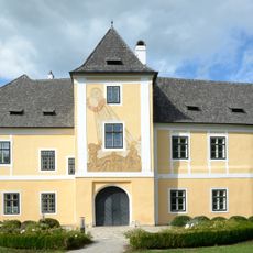
Castle Petzenkirchen
9.3 km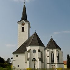
Pfarrkirche Sankt Leonhard am Forst
915 m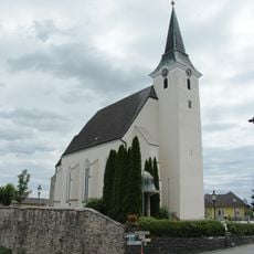
Catholic Church in Petzenkirchen
9.1 km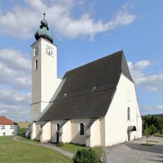
Pfarrkirche Ruprechtshofen
108 m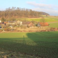
Wasserburg Wocking
6.6 km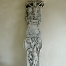
Cemetery St. Leonhard am Forst
1 km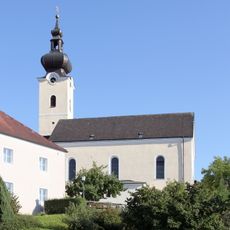
Pfarrkirche Oberndorf an der Melk
9.1 km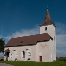
Kath. Filialkirche hll. Peter und Paul
5.8 km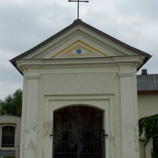
Friedhofskapelle
319 m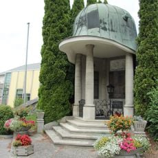
Kriegerdenkmal Petzenkirchen
9.1 km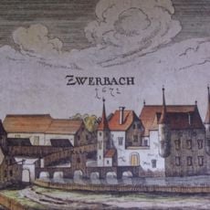
Wasserschloss Zwerbach
2.3 km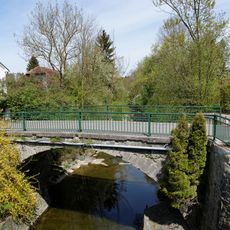
Alte Melkbrücke
9.1 km
Alte Melkbrücke
9.1 km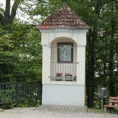
Bildstock
9.1 km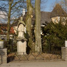
Figurenbildstock hl. Johannes Nepomuk
9.3 km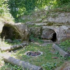
Römische Felsengräber Schlattenbauer
2.4 km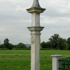
Kreuzsäule St. Leonhard am Forst
2.1 km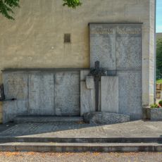
Kriegerdenkmal
887 m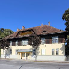
Kommandogebäude des ehem. Kriegsgefangenenlagers Wieselburg
9.6 km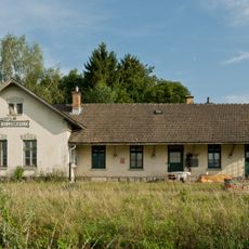
Bahnhof St. Leonhard am Forst
982 m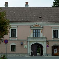
Schloss Leonhard am Forst
919 m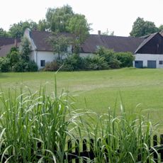
Ehem. Wirtschaftshof von Schloss Zwerbach
2.4 km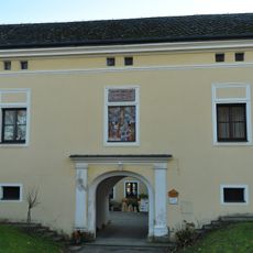
Pfarrhof Ruprechtshofen
165 m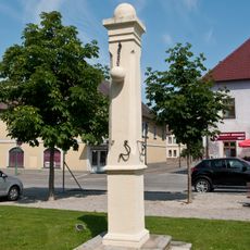
Pranger
843 m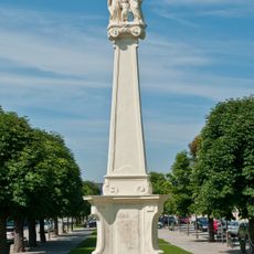
Mariensäule, Familiensäule
882 m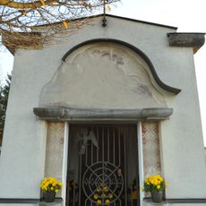
Mausoleum Familie Popp
1 km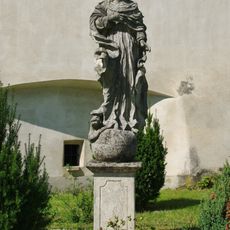
Figurenbildstock Maria Immaculata
950 m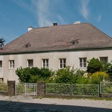
Pfarrhof
944 mReviews
Visited this place? Tap the stars to rate it and share your experience / photos with the community! Try now! You can cancel it anytime.
Discover hidden gems everywhere you go!
From secret cafés to breathtaking viewpoints, skip the crowded tourist spots and find places that match your style. Our app makes it easy with voice search, smart filtering, route optimization, and insider tips from travelers worldwide. Download now for the complete mobile experience.

A unique approach to discovering new places❞
— Le Figaro
All the places worth exploring❞
— France Info
A tailor-made excursion in just a few clicks❞
— 20 Minutes