
Bischofstetten, municipality in Melk District, Lower Austria, Austria
Location: Melk District
Elevation above the sea: 274 m
Shares border with: Hürm, Sankt Margarethen an der Sierning, Ober-Grafendorf, Weinburg, Hofstetten-Grünau, Kilb
Email: gemeinde@bischofstetten.at
Website: http://bischofstetten.at
GPS coordinates: 48.12333,15.47000
Latest update: March 17, 2025 13:58
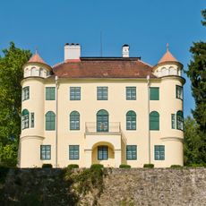
Schloss Grünbühel
5.6 km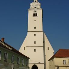
Pfarrkirche Kilb
5.2 km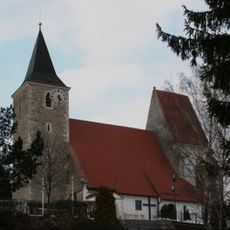
Pfarrkirche Hofstetten-Grünau
3.6 km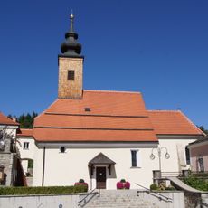
Pfarrkirche hl. Johannes der Täufer, Weinburg
4.4 km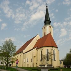
Kath. Pfarrkirche hl. Stephan Hürm
5.7 km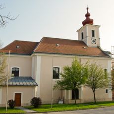
Pfarrkirche Bischofstetten
38 m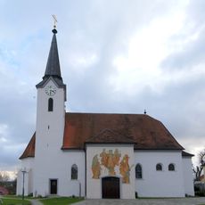
Pfarrkirche St. Margarethen an der Sierning
4.3 km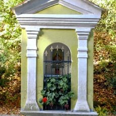
Wegkapelle Hürm
5.5 km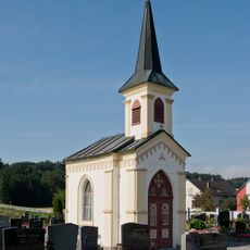
Friedhofskapelle
5.6 km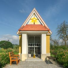
Kapelle mit drei spätgotischen Figuren
2.3 km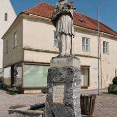
Johannes Nepomuk Kilb
5.2 km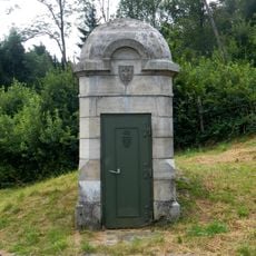
2 Einstiegstürme (69, 70), 5 Kanalbrücken, Einlaufkammer Pielachdüker (EK 71)
3.6 km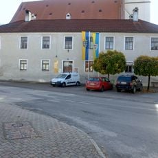
Ehem. Bürgerspital Kilb
5.2 km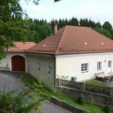
Pfarrhof Weinburg
4.4 km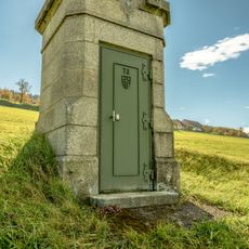
Einsteigturm 73, II HQL
4.9 km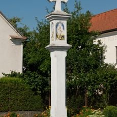
Pest-/Dreifaltigkeitssäule
5.2 km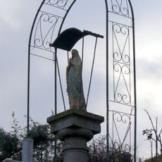
Mariensäule
4.3 km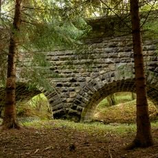
Aquädukt Lederhof 1
3.4 km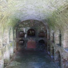
Grechtlergruft
4.4 km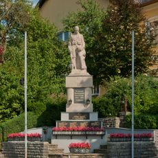
Kriegerdenkmal
68 m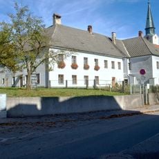
Pfarrhof und Wirtschaftsgebäude Hürm
5.7 km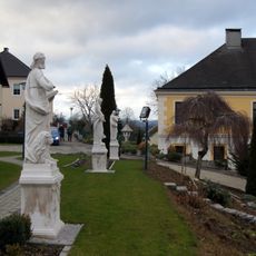
Statuen der vier Evangelisten St. Margarethen an der Sierning
4.3 km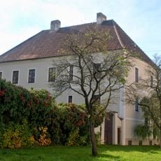
Pfarrhof und ehem. Rossstall Kilb
5.2 km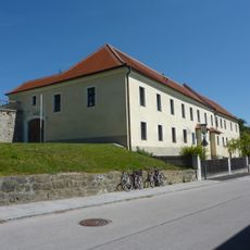
Pfarrhof
3.7 km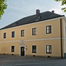
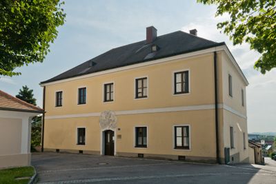
Pfarrhof
16 m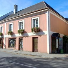
Verwaltungs- und Bürogebäude Kilb
5.2 km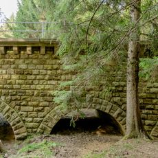
Aquädukt Lederhof 2
3.5 km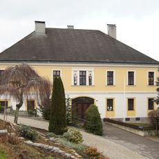
Pfarrhof
4.3 kmReviews
Visited this place? Tap the stars to rate it and share your experience / photos with the community! Try now! You can cancel it anytime.
Discover hidden gems everywhere you go!
From secret cafés to breathtaking viewpoints, skip the crowded tourist spots and find places that match your style. Our app makes it easy with voice search, smart filtering, route optimization, and insider tips from travelers worldwide. Download now for the complete mobile experience.

A unique approach to discovering new places❞
— Le Figaro
All the places worth exploring❞
— France Info
A tailor-made excursion in just a few clicks❞
— 20 Minutes