
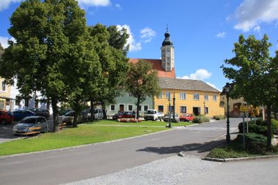
Windigsteig, municipality in Waidhofen an der Thaya District, Lower Austria, Austria
Location: Waidhofen an der Thaya District
Elevation above the sea: 498 m
Shares border with: Waidhofen an der Thaya-Land
Email: gem.windigsteig@wvnet.at
Website: http://windigsteig.gv.at
GPS coordinates: 48.76667,15.28333
Latest update: March 4, 2025 03:15

Schloss Schwarzenau
3 km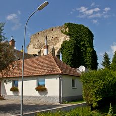
Kirchenruine Sieben Schmerzen Mariä
1.2 km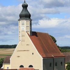
Church of Windigsteig
304 m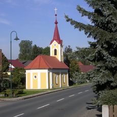
Ortskapelle Weinpolz
4.1 km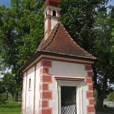
Meierhofkapelle Schwarzenau
2.9 km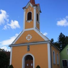
Ortskapelle Matzlesschlag
2 km
Ortskapelle Götzweis
3.3 km
Ortskapelle Lichtenberg
2.7 km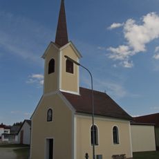
Ortskapelle Grafenschlag
5.3 km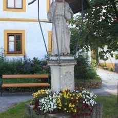
Figurenbildstock, hl. Felix von Cantalice
315 m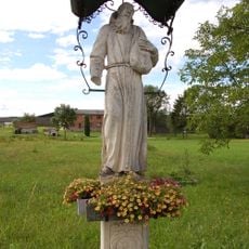
Figurenbildstock hl. Felix von Cantalice
5.3 km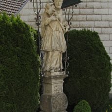
Figurenbildstock hl. Johannes Nepomuk
223 m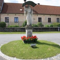
Figurenbildstock hl. Felix von Cantalice
2.4 km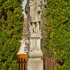
Figurenbildstock hl. Florian
4.1 km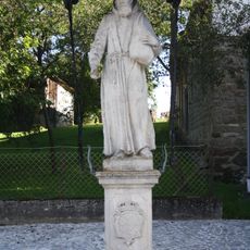
Figurenbildstock hl. Felix von Cantalice
2.7 km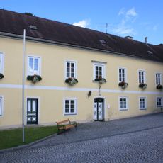
Pfarrhof
252 m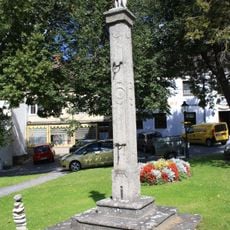
Pranger
303 m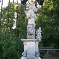
Figurenbildstock hl. Johannes Nepomuk
1.2 km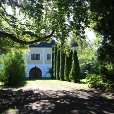
Schloss Meires
1.3 km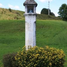
Bildstock
1.9 km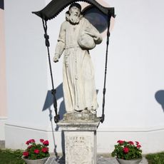
Figurenbildstock hl. Felix von Cantalice
1.5 km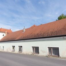
Ehem. Meierhof und Spital
414 m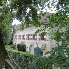
Schloss Grünau
3 km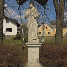
Figurenbildstock hl. Felix von Cantalice
5.4 km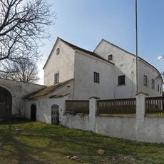
Gutshof
3.2 km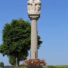
Gnadenstuhl
3.8 km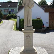
Figurenbildstock hl. Felix von Cantalice
2.3 km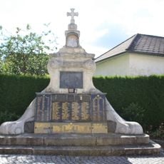
Kriegerdenkmal
304 mReviews
Visited this place? Tap the stars to rate it and share your experience / photos with the community! Try now! You can cancel it anytime.
Discover hidden gems everywhere you go!
From secret cafés to breathtaking viewpoints, skip the crowded tourist spots and find places that match your style. Our app makes it easy with voice search, smart filtering, route optimization, and insider tips from travelers worldwide. Download now for the complete mobile experience.

A unique approach to discovering new places❞
— Le Figaro
All the places worth exploring❞
— France Info
A tailor-made excursion in just a few clicks❞
— 20 Minutes