
Altlichtenwarth, municipality in Mistelbach District, Lower Austria, Austria
Location: Mistelbach District
Elevation above the sea: 231 m
Shares border with: Bernhardsthal, Hausbrunn, Neusiedl an der Zaya, Hauskirchen, Großkrut
Email: gemeinde@altlichtenwarth.gv.at
Website: http://altlichtenwarth.at
GPS coordinates: 48.64778,16.79583
Latest update: March 23, 2025 08:34
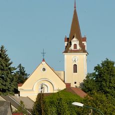
Pfarrkirche Hausbrunn
3.2 km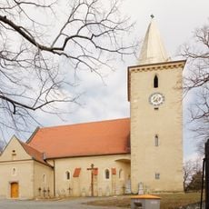
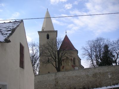
Pfarrkirche Altlichtenwarth
24 m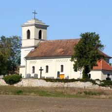
Filialkirche hl. Ulrich, St. Ulrich
4 km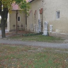
Ehem. Friedhof
13 m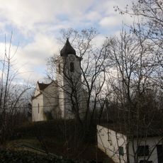
Kapelle Althöflein
3.9 km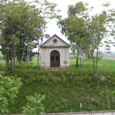
Pestkapelle
612 m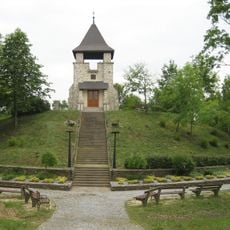
Kriegerdenkmal, sog. Kriegerkapelle
349 m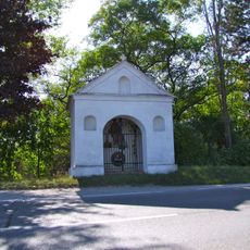
Florianikapelle, Neusiedl an der Zaya
4.6 km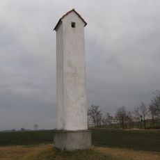
Großkrut Galgen
3.9 km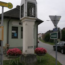
Bildstock
5.8 km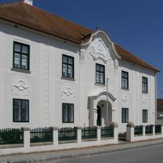
Rectory in Katzelsdorf
5.8 km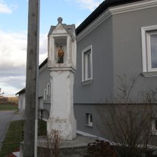
Bildstock Mitte in Althöflein
4.4 km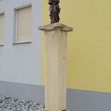
Bildstock Maria mit Kind Hausbrunn
2.8 km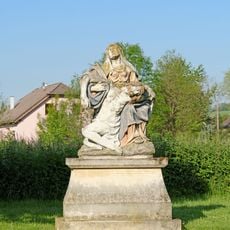
Figurenbildstock Pietà
4.7 km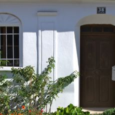
Gassenfronthaus, St. Ulrich
3.9 km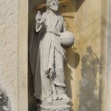
Figurenbildstock Christus Salvator
43 m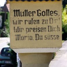
Bildstock 6568, St. Ulrich
3.9 km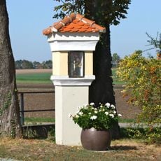
Tabernakelpfeiler, St. Ulrich (Neusiedl an der Zaya)
3.6 km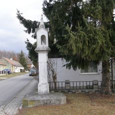
Bildstock Ost in Althöflein
4 km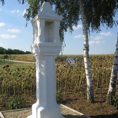
Bildstock Hahnkreuz
408 m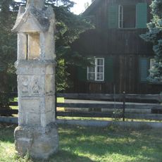
Gotische Lichtsäule
2.5 km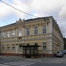
Volksschule Hausbrunn
3.2 km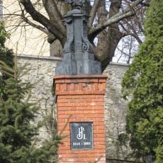
Altlichtenwarth Kaiser Franz Joseph-Denkmal
56 m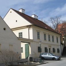
Altlichtenwarth Pfarrhof
78 m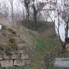
Motte Althöflein
3.9 km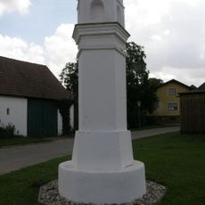
Bildstock Hametweg, Katzelsdorf
5.5 km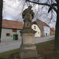
Bildstock Johannes Nepomuk Hausbrunn
3.1 km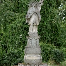
Statue of John of Nepomuk, Altlichtenwarth
579 mReviews
Visited this place? Tap the stars to rate it and share your experience / photos with the community! Try now! You can cancel it anytime.
Discover hidden gems everywhere you go!
From secret cafés to breathtaking viewpoints, skip the crowded tourist spots and find places that match your style. Our app makes it easy with voice search, smart filtering, route optimization, and insider tips from travelers worldwide. Download now for the complete mobile experience.

A unique approach to discovering new places❞
— Le Figaro
All the places worth exploring❞
— France Info
A tailor-made excursion in just a few clicks❞
— 20 Minutes