
Spannberg, municipality in Gänserndorf District, Lower Austria, Austria
Location: Gänserndorf District
Elevation above the sea: 186 m
Shares border with: Zistersdorf, Velm-Götzendorf, Ebenthal, Hohenruppersdorf, Sulz im Weinviertel
Email: marktgemeinde@spannberg.gv.at
Website: http://spannberg.gv.at
GPS coordinates: 48.45000,16.71667
Latest update: March 21, 2025 18:05

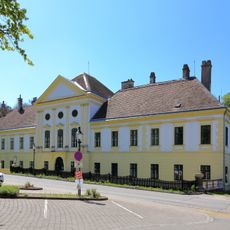
Schloss Ebenthal
5.7 km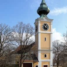
Pfarrkirche hl. Leopold, Velm-Götzendorf
5.7 km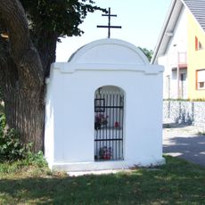
Sebastianskapelle
2.9 km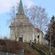
Pfarrkirche (Spannberg)
2.6 km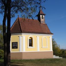
Kapelle
2.7 km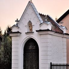
Florianikapelle
5.1 km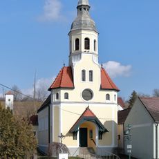
Ortskapelle Erdpreß
3 km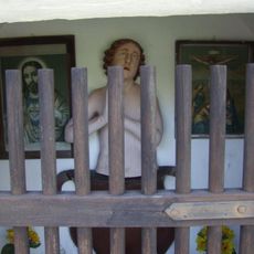
Vituskapelle
2 km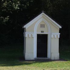
Schutzengelkapelle und Figur
1 km
Hl.Nepomuk
5.6 km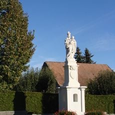
Mariensäule Velm-Götzendorf
5 km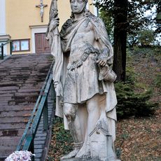
Figurenbildstock hl. Florian
5.8 km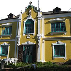
Seibvilla
2.5 km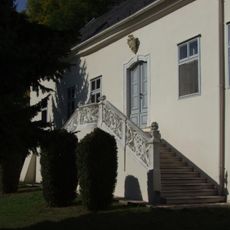
Pfarrhof
2.5 km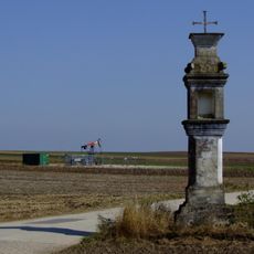
Bildstock 6703
3.7 km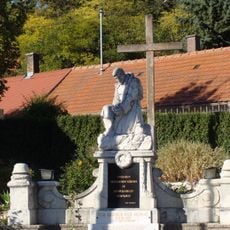
Kriegerdenkmal
5.5 km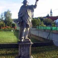
Statue of John of Nepomuk
5.8 km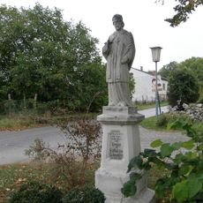
Statue of John of Nepomuk, Erdpreß
3 km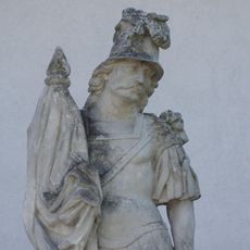
Hl.Florian
2.4 km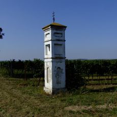
Bildstock 6701
4 km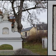
Bildstock und Inschriftenplatte von 1721
5 km
Bildstock 6706
3.4 km
Hl.Nepomuk
2.1 km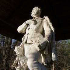
Grabdenkmal August Sachsen-Coburg Ebenthal
3.9 km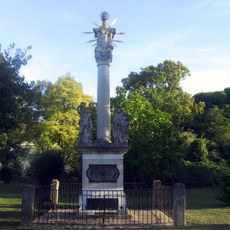
Pestsäule Ebenthal
5.6 km
Zehentkeller
4.6 km
Pfarrhof Velm-Götzendorf
5.8 km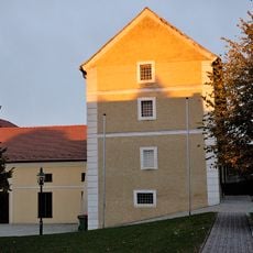
Ehem. Herrschaftsstadl
5.8 kmReviews
Visited this place? Tap the stars to rate it and share your experience / photos with the community! Try now! You can cancel it anytime.
Discover hidden gems everywhere you go!
From secret cafés to breathtaking viewpoints, skip the crowded tourist spots and find places that match your style. Our app makes it easy with voice search, smart filtering, route optimization, and insider tips from travelers worldwide. Download now for the complete mobile experience.

A unique approach to discovering new places❞
— Le Figaro
All the places worth exploring❞
— France Info
A tailor-made excursion in just a few clicks❞
— 20 Minutes