
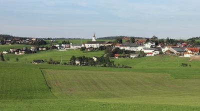
Pöndorf, municipality in Vöcklabruck District, Upper Austria, Austria
Location: Vöcklabruck District
Inception: 1848
Elevation above the sea: 574 m
Shares border with: Sankt Johann am Walde, Lohnsburg, Waldzell, Fornach, Frankenmarkt, Weißenkirchen im Attergau, Straßwalchen, Lengau
Email: gemeinde@poendorf.at
Website: http://poendorf.at
GPS coordinates: 47.99722,13.36694
Latest update: March 7, 2025 00:23
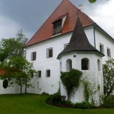
Schloss Erb
8.4 km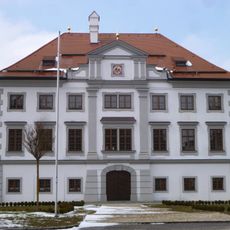
Schloss Stauff
5.1 km
Kalteis
4.8 km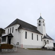
Pfarrkirche Maria Lourdes, Schneegattern
6.4 km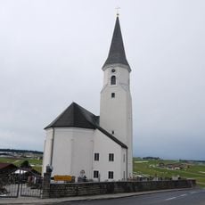
Saint Maximilian Church
137 m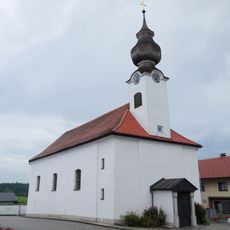
Fornach Parish Church
5.6 km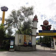
Erlebnispark Straßwalchen
7 km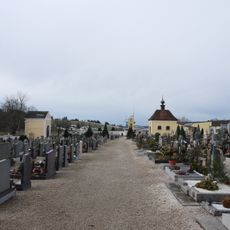
Friedhof Frankenmarkt
3.7 km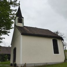
Außerroid-Kapelle, Irrsdorf
6 km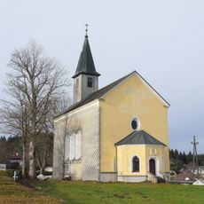
Saint Mary of Help Church
2.8 km
Kapelle Watzlberg
5.3 km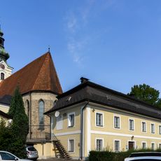
Pfarrhof Frankenmarkt
4.4 km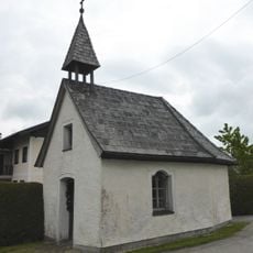
Kapelle Rattensam
6.6 km
Brunnen
4.3 km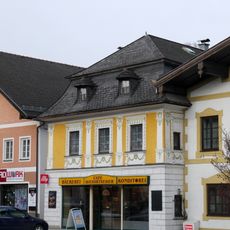
Bürgerhaus
4.2 km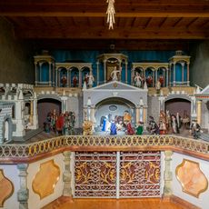
Krippenmuseum Frankenmarkt
4.4 km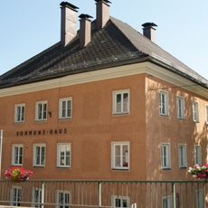
Kommunehaus
4.7 km
Linde beim Gasthaus Hochlehen
6.8 km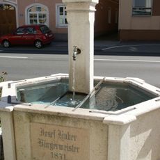
Brunnen
4.1 km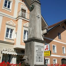
Brunnen, Kriegerdenkmal
4.2 km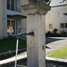
Brunnen
4.4 km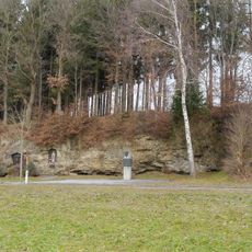
Landgraben Pöndorf
1.2 km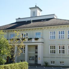
Volksschule
4.4 km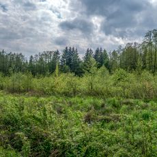
Kreuzbauernmoor
5 km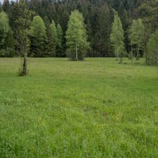
Strawiesen im Redltal
5.4 km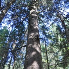
Tanne bei St. Johann am Walde
9 km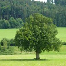
Stieleiche in Mittererb
8 km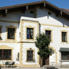
Gasthaus Zur Alten Post
4.2 kmVisited this place? Tap the stars to rate it and share your experience / photos with the community! Try now! You can cancel it anytime.
Discover hidden gems everywhere you go!
From secret cafés to breathtaking viewpoints, skip the crowded tourist spots and find places that match your style. Our app makes it easy with voice search, smart filtering, route optimization, and insider tips from travelers worldwide. Download now for the complete mobile experience.

A unique approach to discovering new places❞
— Le Figaro
All the places worth exploring❞
— France Info
A tailor-made excursion in just a few clicks❞
— 20 Minutes