Sankt Pankraz, municipality in Kirchdorf District, Upper Austria, Austria
Location: Kirchdorf District
Elevation above the sea: 531 m
Shares border with: Molln, Roßleithen, Vorderstoder, Hinterstoder, Klaus an der Pyhrnbahn
Email: gemeinde@st-pankraz.ooe.gv.at
Website: http://st-pankraz.at
GPS coordinates: 47.76500,14.20944
Latest update: March 3, 2025 17:06
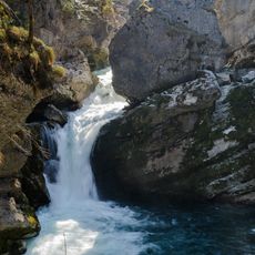
Strombodingwasserfall
6.6 km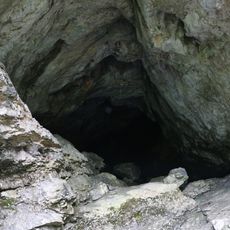
Kreidelucke
7 km
Teufelskirche
2.5 km
Tamberg
3.1 km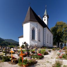
Saint Leopold III Church
6 km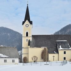
Pfarrkirche hl. Pankraz, St. Pankraz, Upper Austria
122 m
Spering
4.5 km
Uwe-Anderle-Biwak
4.5 km
Forstgebäude
6.6 km
Cemetery St. Pankraz, Upper Austria
120 m
Filzmoserkapelle
6.1 km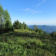
Haidenalpe
4.8 km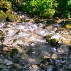
Buchbergbach
8.5 km
Obere Wallergrabenhütte
5.4 km
Steyrling-Brücke der Pyhrnbahn
5.5 km
Arztvilla
5.7 km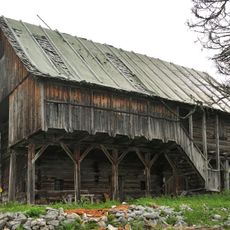
Jagdhütte Bärnriedlau, Sengsengebirge
5.9 km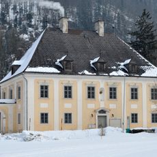
Pfarrhof St. Pankraz, Upper Austria
111 m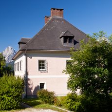
Pfarrhof
6 km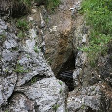
Rettenbachhöhle
8.2 km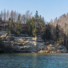
Konglomeratwand an der Steyr
3.7 km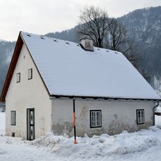
Ehem. Mesnerhaus
147 m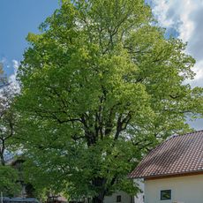
Rumpelmayrlinde
8.4 km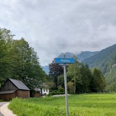
Hopfing
7.4 km
Stücklerkar
6.1 km
Bildstock Trinklergut
5.2 km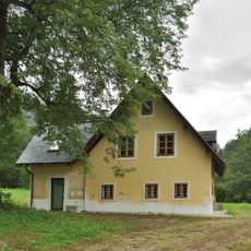
Wohnhaus, Forsthaus, Jaeger in Rettenbach
7.9 km
Kampkar
6.4 kmVisited this place? Tap the stars to rate it and share your experience / photos with the community! Try now! You can cancel it anytime.
Discover hidden gems everywhere you go!
From secret cafés to breathtaking viewpoints, skip the crowded tourist spots and find places that match your style. Our app makes it easy with voice search, smart filtering, route optimization, and insider tips from travelers worldwide. Download now for the complete mobile experience.

A unique approach to discovering new places❞
— Le Figaro
All the places worth exploring❞
— France Info
A tailor-made excursion in just a few clicks❞
— 20 Minutes