
Scharten, municipality in Eferding District, Upper Austria, Austria
Location: Eferding District
Elevation above the sea: 397 m
Shares border with: Fraham, Alkoven, Buchkirchen, Wallern an der Trattnach, Sankt Marienkirchen an der Polsenz
Email: gemeinde@scharten.ooe.gv.at
Website: http://scharten.at
GPS coordinates: 48.25278,14.03611
Latest update: March 7, 2025 00:57
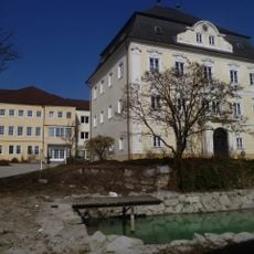
Schloss Mistelbach
2.5 km
Naturpark Obst-Hügel-Land
6.9 km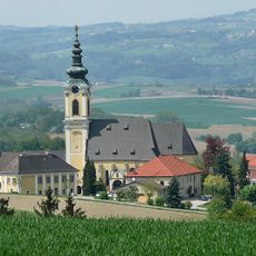
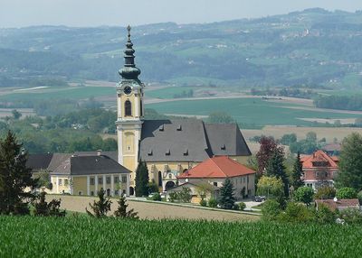
Wallfahrtskirche Maria Scharten
140 m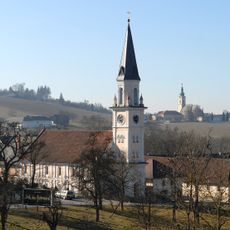
Toleranzkirche
933 m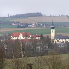
Sankt Jakob
3.5 km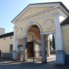
Friedhof christlich
6.2 km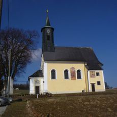
Catholic branch church St. Margareta
2.5 km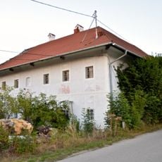
Großstrohmayrgut
5.3 km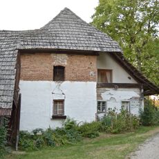
Wastl-Anwesen, Herrnholz
2.2 km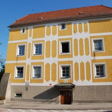
Ehem. Verwaltungsstöckl, Schiferstöckl
6.2 km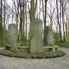
Bauernkriegsdenkmal
4.1 km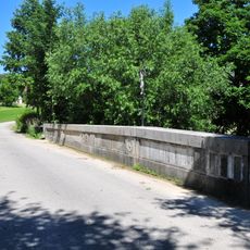
Straßenbrücke, Breitwiesenbrücke
6.1 km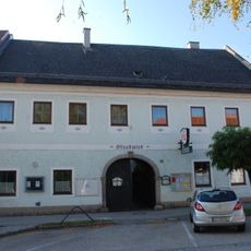
Stuckwirt, ehem. Gasthaus Zur Kanone
6.2 km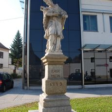
Figurenbildstock hl. Johannes Nepomuk
6.1 km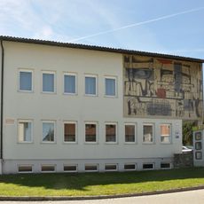
Kunst am Bau am Gemeindeamt
135 m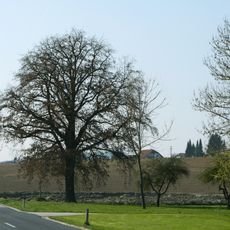
Eiche in Oberperwend
2.8 km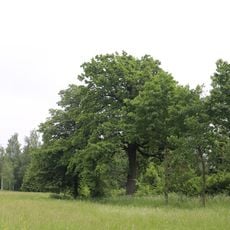
Zwei Eichen bei Raffeldsmühle in Fraham
4.5 km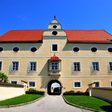
Pfarrhof Buchkirchen
3.5 km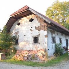
Backhaus Wastl-Anwesen, Herrnholz
2.2 km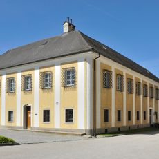
Pfarrhof
165 m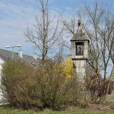
Bildstock
6.6 km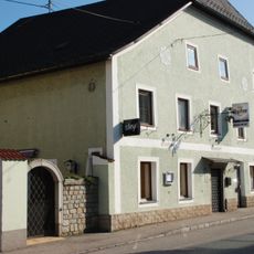
Hiaslwirt, ehem. Gasthaus Zur goldenen Birne
6.1 km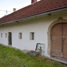
Großstrohmayrgut, Auszugshäusel
5.3 km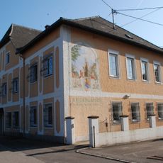
Ehem. Benefiziatenhaus
6.1 km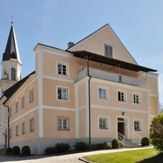
Evangelischer Pfarrhof
921 m
Bürgerhaus
6.1 km
Bürgerhaus, ehem. Schmiede
6.1 km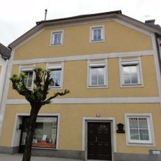
Bürgerhaus
6.1 kmReviews
Visited this place? Tap the stars to rate it and share your experience / photos with the community! Try now! You can cancel it anytime.
Discover hidden gems everywhere you go!
From secret cafés to breathtaking viewpoints, skip the crowded tourist spots and find places that match your style. Our app makes it easy with voice search, smart filtering, route optimization, and insider tips from travelers worldwide. Download now for the complete mobile experience.

A unique approach to discovering new places❞
— Le Figaro
All the places worth exploring❞
— France Info
A tailor-made excursion in just a few clicks❞
— 20 Minutes