
Sankt Andrä im Lungau
Sankt Andrä im Lungau, municipality in Tamsweg District, Salzburg, Austria
Location: Tamsweg District
Elevation above the sea: 1,055 m
Email: gemeinde@st-andrae.salzburg.at
Website: http://st-andrae.salzburg.at
GPS coordinates: 47.14889,13.79694
Latest update: March 31, 2025 15:40
Pfarrkirche Unsere Liebe Frau Mariä Himmelfahrt, Mariapfarr
4 km
Schloss Kuenburg
2.4 km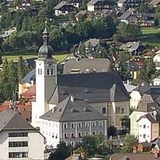
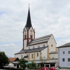
Parish church Tamsweg
2.6 km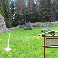
Burgruine Thurnschall
1.7 km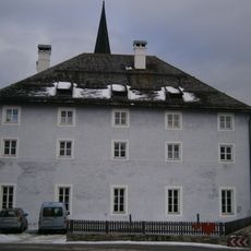
Pfarrhof Mariapfarr
4 km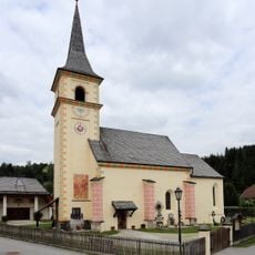
Filialkirche hl. Andreas, Sankt Andrä im Lungau
330 m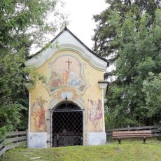
Kreuzbühelkapelle, Sankt Andrä im Lungau
2.9 km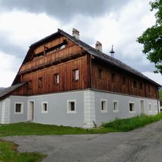
Hof Zechner Zankwarn
4.4 km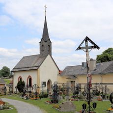
Cemetery chapel, Mariapfarr
3.9 km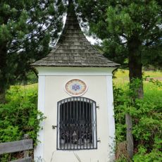
Karnerkapelle Zoitzach
1.9 km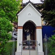
Apfelknabkapelle
2.5 km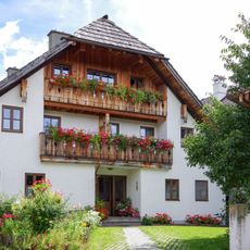
Ilgengut, Tamsweg
1 km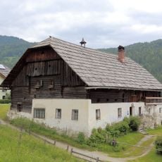
Karnergut, Lessach
2.3 km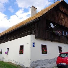
Martinshof, Sankt Andrä im Lungau
2.2 km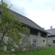
Standlhof, Tamsweg
2 km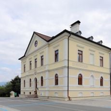
Rathaus/Gemeindeamt
3.8 km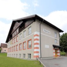
Volksschule
4.3 km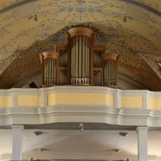
Orgel der röm. kath. Pfarrkirche St. Jakobus d. Ältere
2.6 km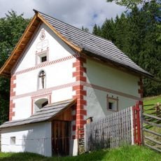
Gruber Kasten, St. Andrä-Lasa
1.5 km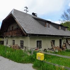
Schargl-Keusche Stranach
4 km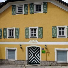
Untere Postgasse 115, Tamsweg
2.6 km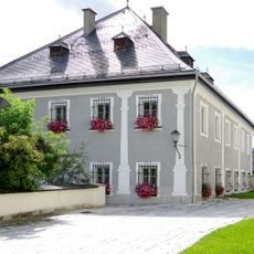
Dechantshof, Tamsweg
2.6 km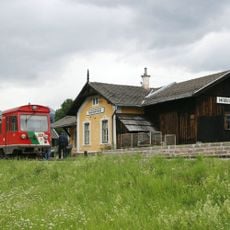
Aufnahmsgebäude Mariapfarr mit angebautem Gütermagazin und Toilettenhäuschen
4.2 km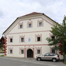
Former Herrenhaus, Sankt Andrä im Lungau
287 m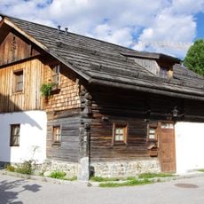
Söllnerhaus, Tamsweg
2.6 km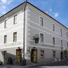
Kuenburgscher Getreidekasten, Tamsweg
2.6 km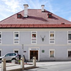
Forstamtsgebäude
2.5 km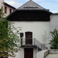
Pfarrhof-Kasten
2.6 kmVisited this place? Tap the stars to rate it and share your experience / photos with the community! Try now! You can cancel it anytime.
Discover hidden gems everywhere you go!
From secret cafés to breathtaking viewpoints, skip the crowded tourist spots and find places that match your style. Our app makes it easy with voice search, smart filtering, route optimization, and insider tips from travelers worldwide. Download now for the complete mobile experience.

A unique approach to discovering new places❞
— Le Figaro
All the places worth exploring❞
— France Info
A tailor-made excursion in just a few clicks❞
— 20 Minutes