
Anthering, municipality in Salzburg-Umgebung District, Salzburg, Austria
Location: Salzburg-Umgebung District
Elevation above the sea: 422 m
Email: gemeinde@anthering.at
Website: http://anthering.at
GPS coordinates: 47.86667,13.01667
Latest update: March 8, 2025 12:44

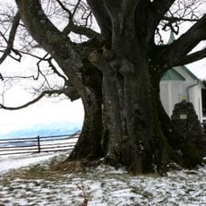
Kaiserbuche
6.7 km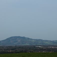
Haunsberg
5.6 km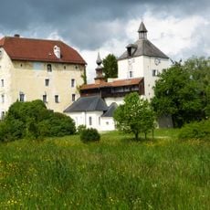
Schloss Triebenbach
6.4 km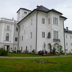
Schloss Weitwörth
7.4 km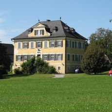
Schloss Ursprung
3.7 km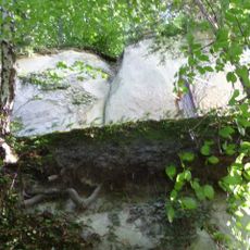
Burg Haunsperg
7.5 km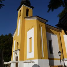
St. Pankraz am Haunsberg
7.5 km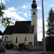
Pfarrkirche Mariä Himmelfahrt
1.6 km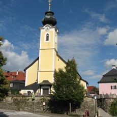
Pfarrkirche Elixhausen
3.8 km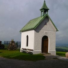
Kaiser-Franz-Joseph-Jubiläumskapelle am Haunsberg
6.7 km
Wallburg Haunsberg
5.6 km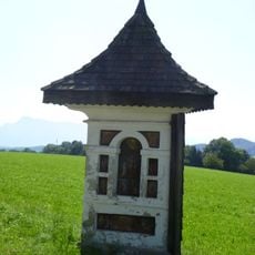
Drei Brüder Kapelle, Elixhausen
3.9 km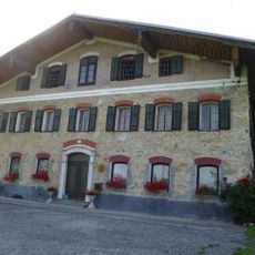
Ansitz in der Prenzingerau
7.3 km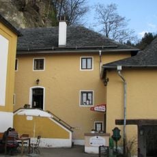
Wirtshaus Schlössl, St. Pankraz am Haunsberg
7.5 km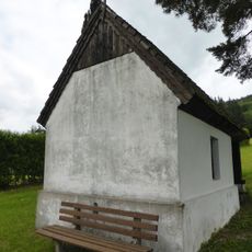
Hofkapelle des Korbergutes, Bergheim
1.4 km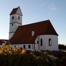
St. Stephan
4.4 km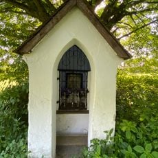
Kapellenbildstock
4.4 km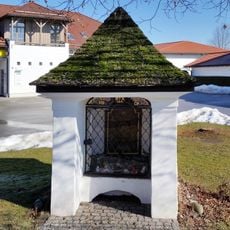
Kapelle
4.4 km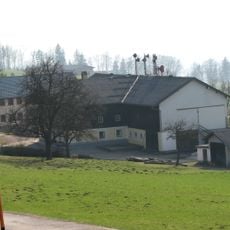
Bauernhof (Anlage), Wimmergut
7.5 km
Römische Villa Kerath
1.3 km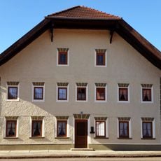
Bauernhaus
4.9 km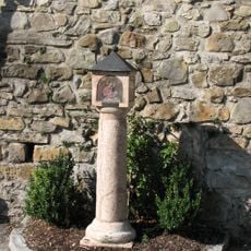
Pestkreuz Elixhausen
3.8 km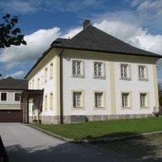
Pfarrhof
1.6 km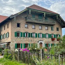
Wohnteil des ehemaligen Bauernhauses
4.4 km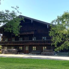
Bauernhaus
5.3 km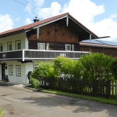
Ehemals Handwerkerhaus, jetzt Wohnhaus
6.4 km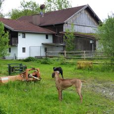
Wohnteil eines Bauernhauses
6.4 km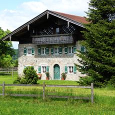
Bauernhaus mit Widerkehr, Wohnteil
6.4 kmVisited this place? Tap the stars to rate it and share your experience / photos with the community! Try now! You can cancel it anytime.
Discover hidden gems everywhere you go!
From secret cafés to breathtaking viewpoints, skip the crowded tourist spots and find places that match your style. Our app makes it easy with voice search, smart filtering, route optimization, and insider tips from travelers worldwide. Download now for the complete mobile experience.

A unique approach to discovering new places❞
— Le Figaro
All the places worth exploring❞
— France Info
A tailor-made excursion in just a few clicks❞
— 20 Minutes