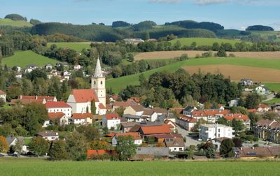
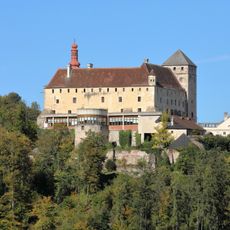
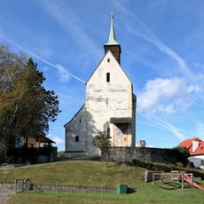
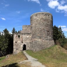
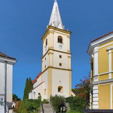
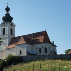
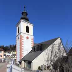
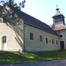
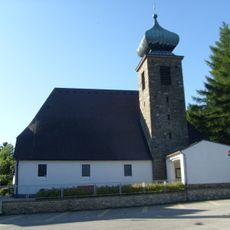
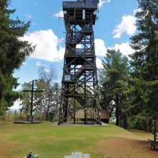
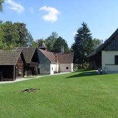
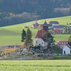
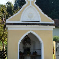
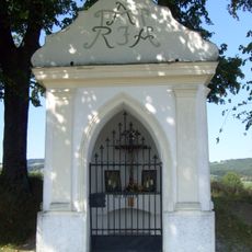
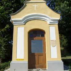
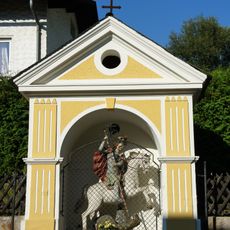
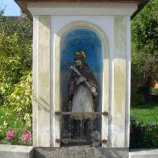
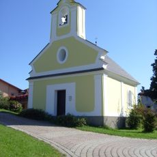
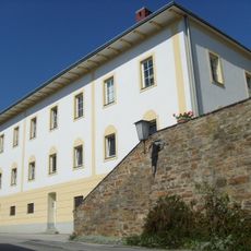
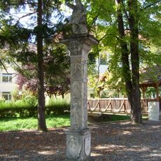
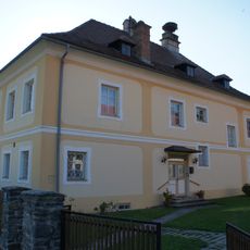
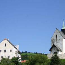
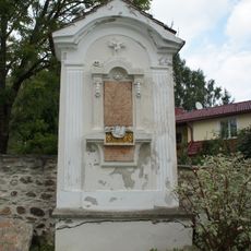
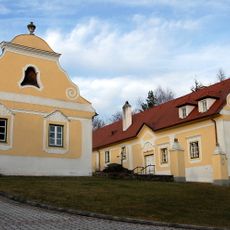
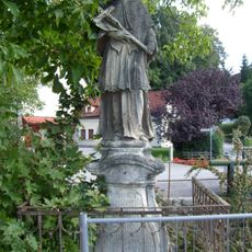
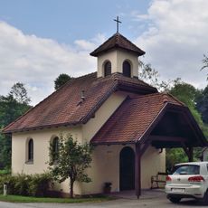
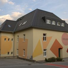
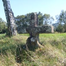
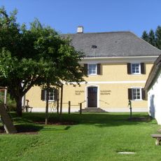
Krumbach, municipality in Wiener Neustadt District, Lower Austria, Austria
Location: Wiener Neustadt(Land) District
Elevation above the sea: 533 m
Shares border with: Thomasberg, Lichtenegg, Kirchschlag in der Buckligen Welt, Bad Schönau, Hochneukirchen-Gschaidt, Zöbern
Email: verwaltung@krumbach-noe.gv.at
Website: http://krumbach-noe.at
GPS coordinates: 47.52417,16.19194
Latest update: March 4, 2025 14:52
Schloss Krumbach
2.4 km
Church in Bad Schönau
4.6 km
Ziegersberg castle ruins
5 km
Parish church Krumbach
37 m
Pfarrkirche hl. Georg, Zöbern
4.7 km
Pfarrkirche hl. Bartholomäus, Hochneukirchen
7.4 km
Heimatmuseum, ehem. Bürgerspital
856 m
Saint Magdalene Church (Hochneukirchen-Gschaidt)
8 km
Kernstockwarte
7.2 km
Museumsdorf Krumbach
839 m
Erasmuskapelle
597 m
Hl. Johannes Nepomuk-Kapelle
4.6 km
Flur-/Wegkapelle
815 m
Flur-/Wegkapelle
2.6 km
Hl. Georg-Kapelle
4.7 km
Kapelle hl. Johannes Nepomuk
1.8 km
Flur-/Wegkapelle/ Ortskapelle
7.4 km
Wohnhaus, ehem. Schule
57 m
Figurenbildstock Abrahamsäule
319 m
Pfarrhof
4.7 km
Pfarrhof, ehem. Festes Haus
4.6 km
Epitaph Krumbach, Lower Austria
38 m
Ehem. Pfarrhof
85 m
Figurenbildstock hl. Johannes Nepomuk
204 m
Ortskapelle Thal
5.1 km
Volksschule
8 km
Erasmuskreuz
4.1 km
Pfarrhof
8 kmReviews
Visited this place? Tap the stars to rate it and share your experience / photos with the community! Try now! You can cancel it anytime.
Discover hidden gems everywhere you go!
From secret cafés to breathtaking viewpoints, skip the crowded tourist spots and find places that match your style. Our app makes it easy with voice search, smart filtering, route optimization, and insider tips from travelers worldwide. Download now for the complete mobile experience.
A unique approach to discovering new places❞
— Le Figaro
All the places worth exploring❞
— France Info
A tailor-made excursion in just a few clicks❞
— 20 Minutes