
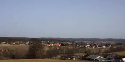
Ottendorf an der Rittschein
Ottendorf an der Rittschein, municipality in Hartberg-Fürstenfeld District, Styria, Austria
Location: Hartberg-Fürstenfeld District
Elevation above the sea: 297 m
Email: gde@ottendorf.gv.at
Website: http://ottendorf.com
GPS coordinates: 47.04889,15.90056
Latest update: March 4, 2025 02:12
Salvator Church
4.7 km
Pfarrkirche Hartmannsdorf
4.4 km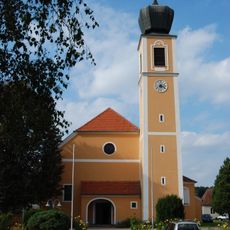
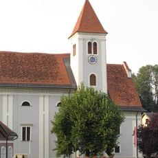
Saint Helena Church
349 m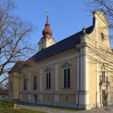
Pfarrkirche Ilz
4.7 km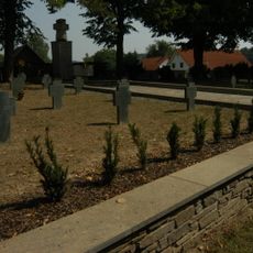
Soldatenfriedhof Ilz
4.8 km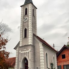
Ortskapelle Schweinz
1.6 km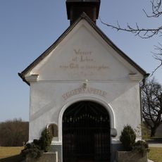
Egger-Kapelle
3.4 km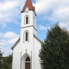
Ortskapelle
2.1 km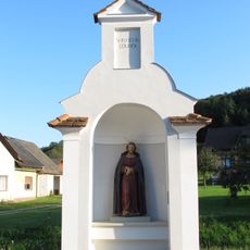
Wegkapelle
4.9 km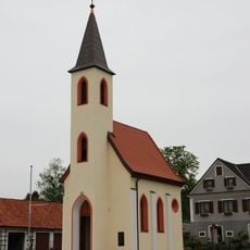
Ortskapelle Krennach
2.6 km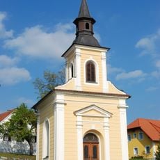
Ortskapelle
4.7 km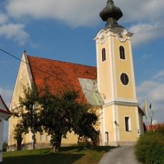
Kath. Filialkirche hl. Andreas
3.2 km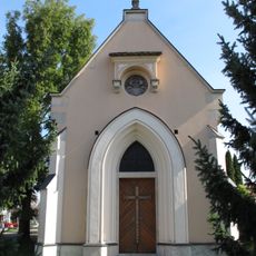
Friedhofskapelle, Lamberggruft
5 km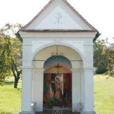
Flur-/Wegkapelle
5.8 km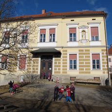
Kloster der Grazer Schulschwestern mit Kapelle
4.6 km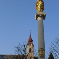
Mariensäule Ilz, Styria
4.6 km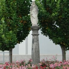
Mariensäule
4.7 km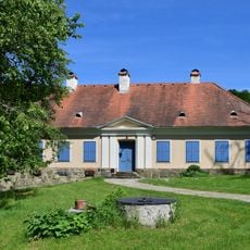
Bauernhaus Huberhof
4.4 km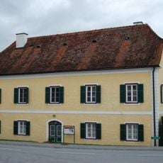
Pfarrhof
4.8 km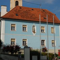
Pfarrhof
4.7 km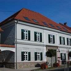
Rathaus/Gemeindeamt
4.7 km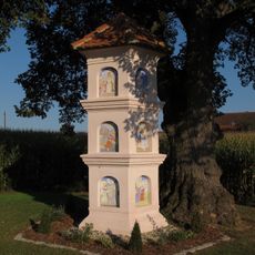
Bildstock, Pestkreuz
5.4 km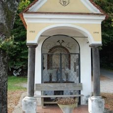
Berglerkapelle
3.4 km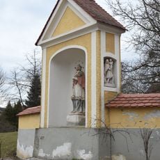
Bildstock
4.4 km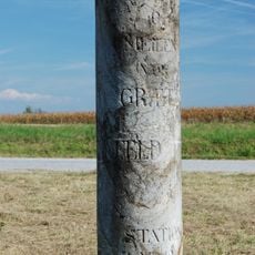
Kilometer-/Meilenstein
5.9 km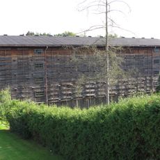
Tabaktrockenanlage
4.9 km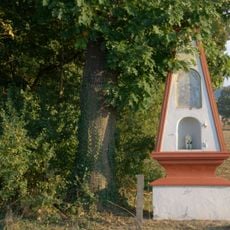
Bildstock
5.9 km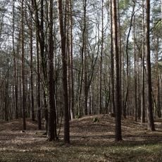
Barrow cemetery Groß Hard
1.5 kmVisited this place? Tap the stars to rate it and share your experience / photos with the community! Try now! You can cancel it anytime.
Discover hidden gems everywhere you go!
From secret cafés to breathtaking viewpoints, skip the crowded tourist spots and find places that match your style. Our app makes it easy with voice search, smart filtering, route optimization, and insider tips from travelers worldwide. Download now for the complete mobile experience.

A unique approach to discovering new places❞
— Le Figaro
All the places worth exploring❞
— France Info
A tailor-made excursion in just a few clicks❞
— 20 Minutes