
Nußbach, municipality in Kirchdorf District, Upper Austria, Austria
Location: Kirchdorf District
Elevation above the sea: 464 m
Shares border with: Wartberg an der Krems, Adlwang, Pfarrkirchen bei Bad Hall, Schlierbach, Oberschlierbach, Grünburg
Email: gemeinde@nussbach.ooe.gv.at
Website: http://gemeinde-nussbach.at
GPS coordinates: 47.97250,14.16472
Latest update: April 1, 2025 07:09
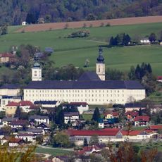
Schlierbach Abbey
4.9 km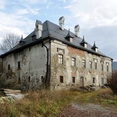
Schloss Dorff
4.4 km
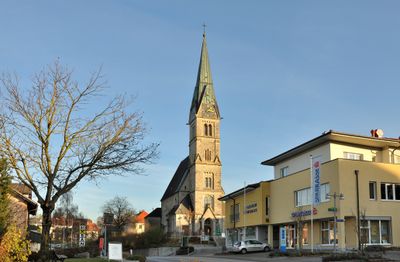
Saint Leonard Church (Nußbach, Upper Austria)
85 m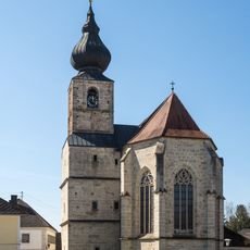
Pfarrkirche zu den Sieben Schmerzen Mariä (Adlwang)
4.4 km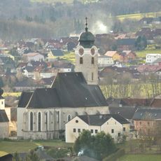
Kath. Pfarrkirche hl. Kilian, Wartberg
4 km
Ubald of Gubbio Church (Schlierbach, Austria)
4.4 km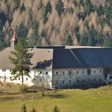
Bauernhof mit Kapelle, Schiefer
4.7 km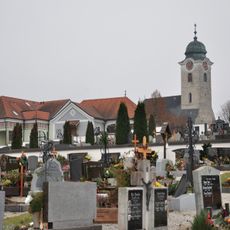
Friedhof christlich
4.1 km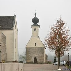
Annakapelle, Wartberg
3.9 km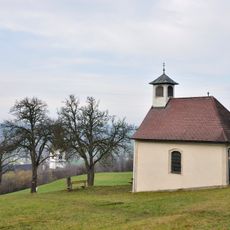
Kalvarienbergkapelle
4.9 km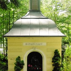
Kapelle hl. Brunnen
4.3 km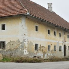
Bauernhof (Anlage), Kiliangut zu Oberndorf
2.1 km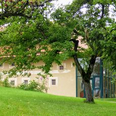
Baumgartnerhof, Oberschlierbach
3.3 km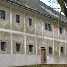
Bauernhof (Anlage), Gasthaus Forstner
2.6 km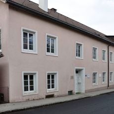
Frischaufen-Haus, Apotheker-Haus im Hoffeld
4.7 km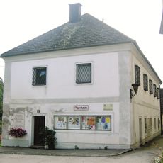
Pfarrheim
4.4 km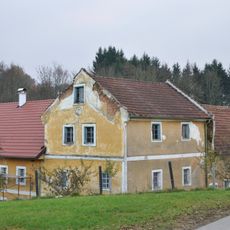
Pfarrkirchen bei Bad Hall, Sandlmühle
4 km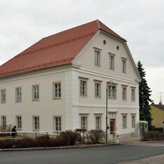
Volksschule, ehem. Hofrichterhaus
4.8 km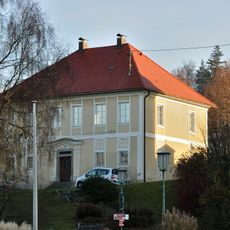
Pfarrhof
66 m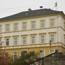
Landesmusikschule
3.9 km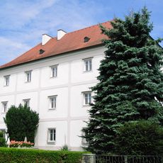
Pfarrhof
4.6 km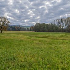
Kremsauen
3.7 km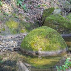
Kugelförmige Sandsteinsphären in Adlwang
4.1 km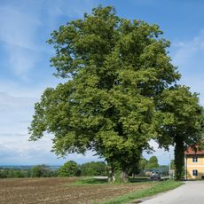
Winterlinde in der Gemeinde Nußbach
1.6 km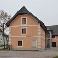
Kath. Pfarrheim
4 km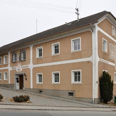
Gemeindeamt
3.9 km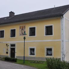
Pfarrhof
4 km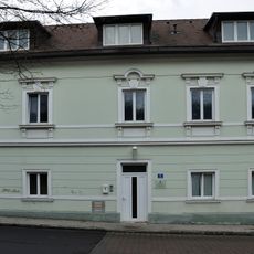
Adelwanger-Haus im Hoffeld, Altes Betschwesternhaus
4.7 kmVisited this place? Tap the stars to rate it and share your experience / photos with the community! Try now! You can cancel it anytime.
Discover hidden gems everywhere you go!
From secret cafés to breathtaking viewpoints, skip the crowded tourist spots and find places that match your style. Our app makes it easy with voice search, smart filtering, route optimization, and insider tips from travelers worldwide. Download now for the complete mobile experience.

A unique approach to discovering new places❞
— Le Figaro
All the places worth exploring❞
— France Info
A tailor-made excursion in just a few clicks❞
— 20 Minutes