
Pill, municipality in Schwaz District, Tyrol, Austria
Location: Schwaz District
Elevation above the sea: 556 m
Shares border with: Schwaz
Email: gemeinde@pill.tirol.gv.at
Website: http://pill.tirol.gv.at
GPS coordinates: 47.32083,11.68250
Latest update: March 9, 2025 21:44
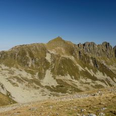
Kellerjoch
6.6 km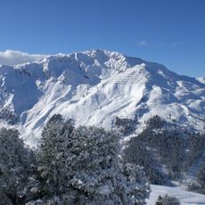
Gilfert
7.4 km
Filialkirche Vomperbach
1.2 km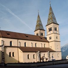
Kirche Maria Empfängnis
2.8 km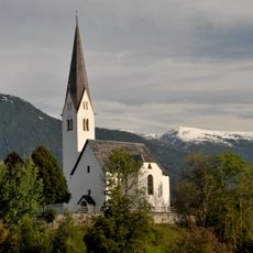
Alte Pfarrkirche hll. Petrus und Paulus und Friedhof
2.4 km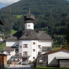
Ansitz Mitterhart
2.3 km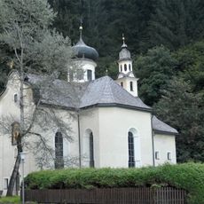
Kreuzkirchl
964 m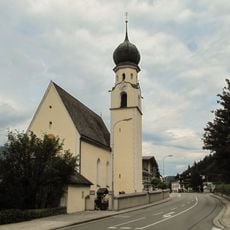
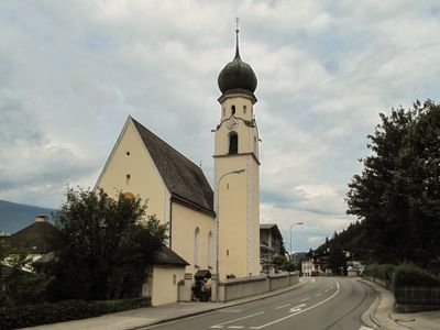
Saint Anne Church (Pill, Tyrol)
87 m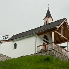
Kapelle Pillberg
2.3 km
Museum glaube.aber.glaube im Rablhaus
2.4 km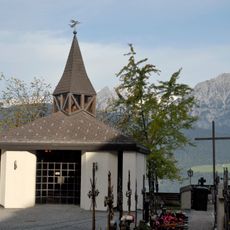
Friedhofserweiterung mit Aufbahrungshalle
2.8 km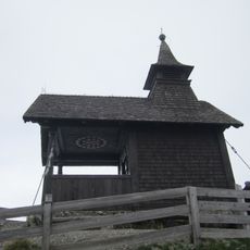
Kellerjochkapelle
6.6 km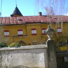
Ansitz Friedheim, Roteturmschlössl, Minkusschlössl, Schwaz
2.5 km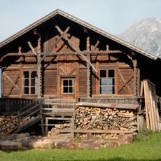
Holzveranda beim ehem. Gasthof Kirchenwirt
2.8 km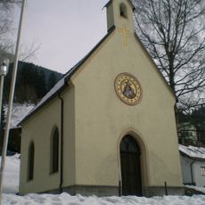
Danzlkapelle
2.9 km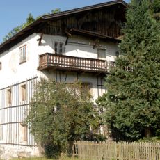
Bauernhaus Beim Schaufler
1.6 km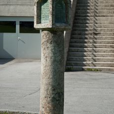
Barbarasäule beim Paulinum
2.4 km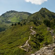
Großer Gamsstein
6.5 km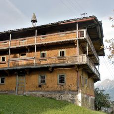
Bauernhof Bärenpacher
1.9 km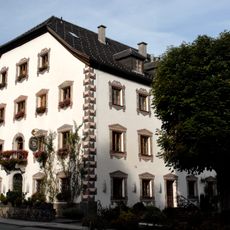
Plankenhof
84 m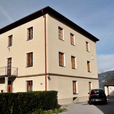
Neuer Widum
2.8 km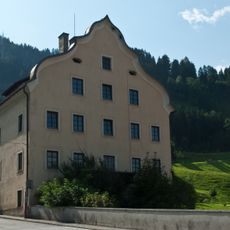
Ansitz Truefer
2.4 km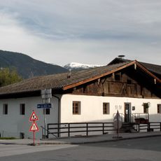
Schusterhof/Gemeindeamt
23 m
Public bookcase Pill
67 m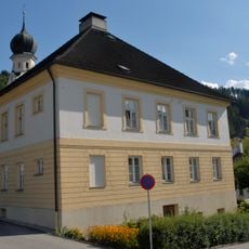
Pfarrhof Pill
80 m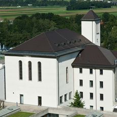
Kapelle des bischöflichen Gymnasiums Paulinum
2.2 km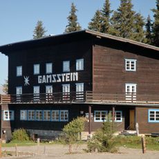
Alpengasthaus Gamsstein
6.5 km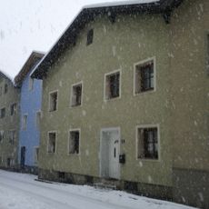
Innsbrucker Straße 42, Schwaz
3 kmReviews
Visited this place? Tap the stars to rate it and share your experience / photos with the community! Try now! You can cancel it anytime.
Discover hidden gems everywhere you go!
From secret cafés to breathtaking viewpoints, skip the crowded tourist spots and find places that match your style. Our app makes it easy with voice search, smart filtering, route optimization, and insider tips from travelers worldwide. Download now for the complete mobile experience.

A unique approach to discovering new places❞
— Le Figaro
All the places worth exploring❞
— France Info
A tailor-made excursion in just a few clicks❞
— 20 Minutes