
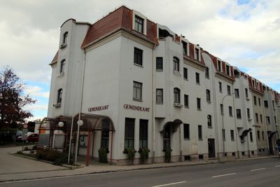
Lanzendorf, municipality in Bruck/Leitha District, Lower Austria, Austria
Location: Bruck an der Leitha District
Elevation above the sea: 170 m
Shares border with: Vienna, Schwechat, Zwölfaxing, Himberg, Maria Lanzendorf, Leopoldsdorf
Email: gemeinde@lanzendorf.at
Website: http://lanzendorf.at
GPS coordinates: 48.10000,16.43333
Latest update: April 3, 2025 18:10
Wallfahrtskirche Maria Lanzendorf
642 m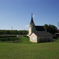
Johanneskirche
3.7 km
GK Wien–Southeast
2.8 km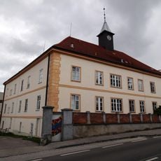
Behindertenheim der Caritas Maria Frieden
599 m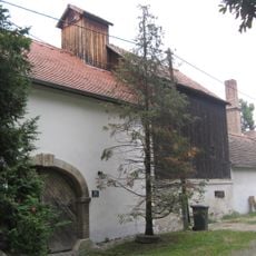
Hofmühle, Unterlaa
4 km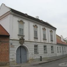
Prentlhof, Vienna
4 km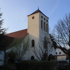
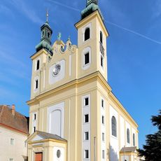
Pfarrkirche Leopoldsdorf bei Wien
3.2 km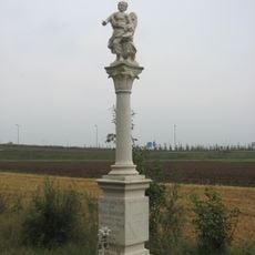
Schutzengelkreuz in Unterlaa
3 km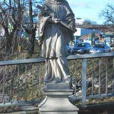
John of Nepomuk, Unterlaa, Vienna
4.1 km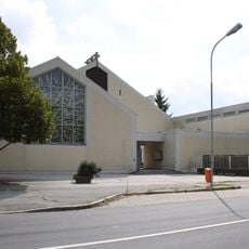
Holy Trinity Church
2.4 km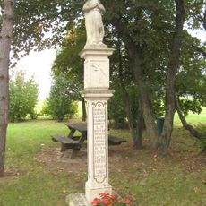
Mariensäule Am Johannesberg, Unterlaa
3.2 km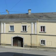
Schwerthof
1.5 km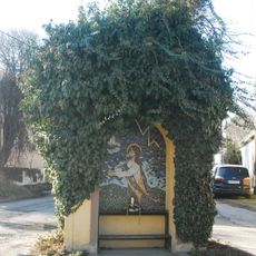
Kreuzwegstation Unterlaa
3.9 km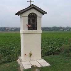
Sebastianbildstock in Unterlaa
4.3 km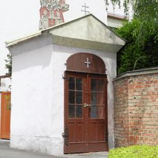
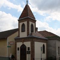
Johanneskapelle
3.7 km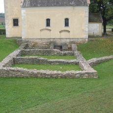
Römische Villa und Siedlung des 1. Jh. n. Chr.
3.7 km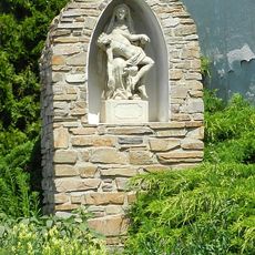
Bildstock
1.6 km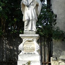
Figurenbildstock hl. Nepomuk
1.8 km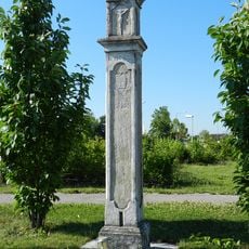
Bildstock, 1663 Johanes Hofman
3.7 km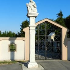
Figurenbildstock Pietà
1.5 km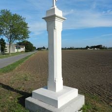
Bildstock
1.3 km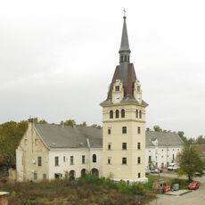
Gutshof/Meierhof (herrschaftlich) Wallhof
3.9 km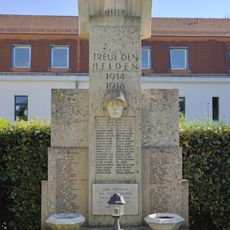
War memorial Leopoldsdorf
2.8 km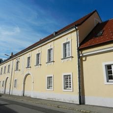
Ehem. Ganzlehenhaus
1.5 km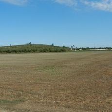
Fundzone Mittlere Felder Süd
3.8 km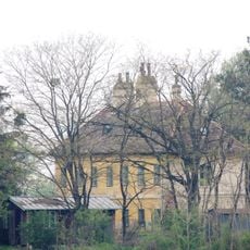
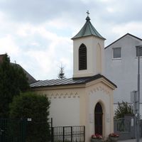
Jägerhaus
677 m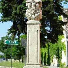
Pest-/Dreifaltigkeitssäule
2.1 km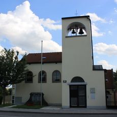
Klederinger Kirche
3.6 kmVisited this place? Tap the stars to rate it and share your experience / photos with the community! Try now! You can cancel it anytime.
Discover hidden gems everywhere you go!
From secret cafés to breathtaking viewpoints, skip the crowded tourist spots and find places that match your style. Our app makes it easy with voice search, smart filtering, route optimization, and insider tips from travelers worldwide. Download now for the complete mobile experience.

A unique approach to discovering new places❞
— Le Figaro
All the places worth exploring❞
— France Info
A tailor-made excursion in just a few clicks❞
— 20 Minutes