
Regau, municipality in Vöcklabruck District, Upper Austria, Austria
Location: Vöcklabruck District
Elevation above the sea: 429 m
Shares border with: Vöcklabruck, Attnang-Puchheim, Desselbrunn, Ohlsdorf, Pinsdorf, Aurach am Hongar, Timelkam
Email: gemeinde@regau.ooe.gv.at
Website: https://regau.at
GPS coordinates: 47.99194,13.68806
Latest update: March 5, 2025 11:25

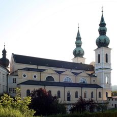
Maria Puchheim
2.1 km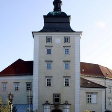
Palace and monastery of Puchheim
2.2 km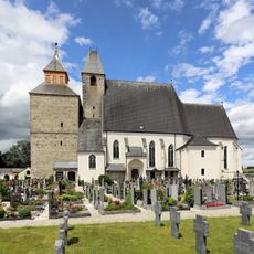
Wallfahrtskirche Maria Schöndorf, Vöcklabruck
2.6 km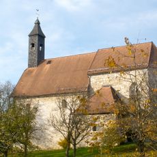
Römerkirche Aurachkirchen
4.9 km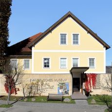
Evangelisches Museum Oberösterreich
2.5 km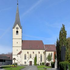
Sankt Petrus
17 m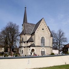
Evangelische Pfarrkirche Vöcklabruck
3.2 km
Schloss Schöndorf
2.3 km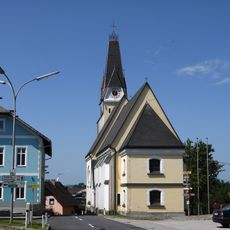
Saint Alexius of Rome Church
4.6 km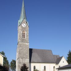
Evangelische Pfarrkirche Rutzenmoos
2.6 km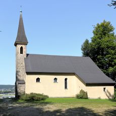
Vituskircherl, Oberregau
2.4 km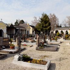
Friedhof mit Friedhofskapellen
2.6 km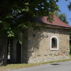
Schimpl-Kapelle
4.6 km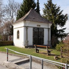
Mariahilf-Kapelle
2.7 km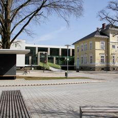
Villa Czerwenka samt Ausstattung und Gartenzaun
2.8 km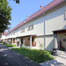
Hatschek-Siedlung
3.3 km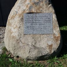
Memorial to Vöcklabruck concentration camp
1.9 km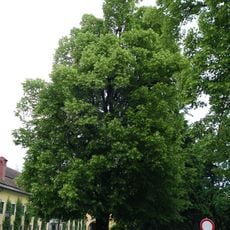
Schloßlinde in Attnang-Puchheim
2.3 km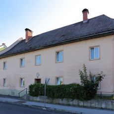
Wohnhaus, ehem. Bruderhaus oder Bürgerspital
2.8 km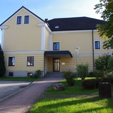
Musikschule
160 m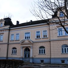
Ehem. Gemeindeamt
2.5 km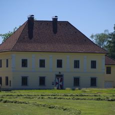
Pfarrhof Regau
175 m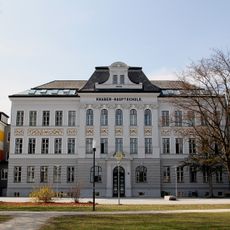
Knabenhauptschule
2.9 km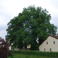
Ulme in Attnang-Puchheim
2.2 km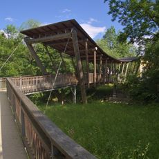
Friendship Bridge Vöcklabruck-Regau
1.6 km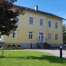
Evangelisches Pfarrhaus
2.6 km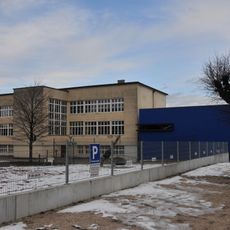
Volksschule der Franziskanerinnen
2.5 km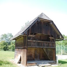
Getreidekasten
4.5 kmReviews
Visited this place? Tap the stars to rate it and share your experience / photos with the community! Try now! You can cancel it anytime.
Discover hidden gems everywhere you go!
From secret cafés to breathtaking viewpoints, skip the crowded tourist spots and find places that match your style. Our app makes it easy with voice search, smart filtering, route optimization, and insider tips from travelers worldwide. Download now for the complete mobile experience.

A unique approach to discovering new places❞
— Le Figaro
All the places worth exploring❞
— France Info
A tailor-made excursion in just a few clicks❞
— 20 Minutes