
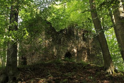
Burgruine Rundersburg, rocca
Location: Sankt Leonhard am Hornerwald
GPS coordinates: 48.61700,15.50430
Latest update: March 14, 2025 03:23
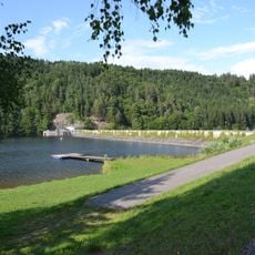
Thurnberger Stausee
3.2 km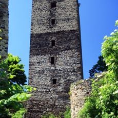
Ruine Schauenstein
1.8 km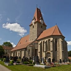
Mariä Himmelfahrt
2.9 km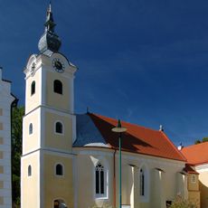
Pfarrkirche Idolsberg
2.8 km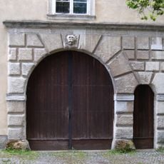
Parochial House Altpölla
3 km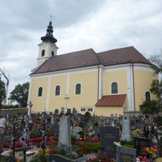
Pfarrkirche St. Leonhard am Hornerwald
3.8 km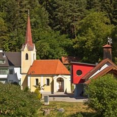
Ortskapelle Wegscheid am Kamp
1.3 km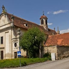
Kuefsteinsche Gruftkapelle hl. Anna, Röhrenbach
4.3 km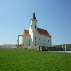
Kath. Pfarrkirche hl. Nikolaus
4.2 km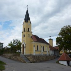
Chapel Wilhalm
2.9 km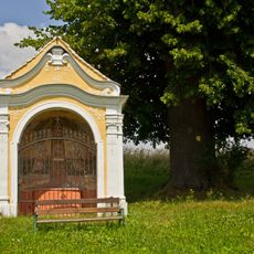
NÖ-Naturdenkmal ZT-017 Linden beim Urlaubsmarterl Altpölla
2.1 km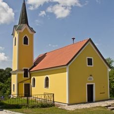
Ortskapelle Krug
2.7 km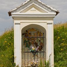
Nischen- /Kapellenbildstock
2.9 km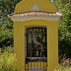
Flur-/Wegkapelle
4.1 km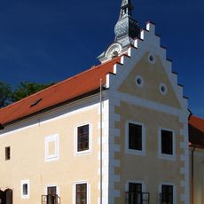
Pfarrhof
2.8 km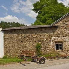
Bauernhof (Anlage), ehem. Wehrhof
992 m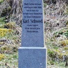
Schwed-Kreuz
364 m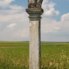
Bildstock
3 km
Bildbaum Teichleiten
3.8 km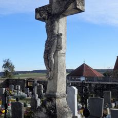
Wunderbaldingerkreuz
3.8 km
Johannes-Capistranus-Statue
4 km
Figurenbildstock hl. Johannes Nepomuk
3 km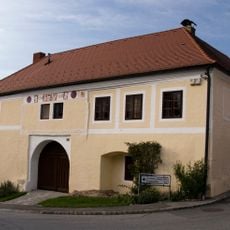
Gutshof/Meierhof (herrschaftlich)
4.2 km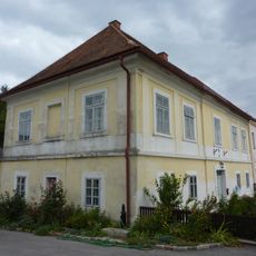
Pfarrhof St. Leonhard am Hornerwald
3.8 km
Wilhalmer Kreuz
1.9 km
Aschauer-Bildstock
3.7 km
Lamplhöh-Kreuz
3.5 km
Winkler-Marterl
4 kmVisited this place? Tap the stars to rate it and share your experience / photos with the community! Try now! You can cancel it anytime.
Discover hidden gems everywhere you go!
From secret cafés to breathtaking viewpoints, skip the crowded tourist spots and find places that match your style. Our app makes it easy with voice search, smart filtering, route optimization, and insider tips from travelers worldwide. Download now for the complete mobile experience.

A unique approach to discovering new places❞
— Le Figaro
All the places worth exploring❞
— France Info
A tailor-made excursion in just a few clicks❞
— 20 Minutes