
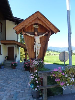
Wegkreuz Friedenshöhe, Denkmalgeschütztes Objekt in Brixen im Thale (105496)
Location: Brixen im Thale
Address: bei Dorfstraße 103
GPS coordinates: 47.45060,12.24817
Latest update: March 7, 2025 06:45
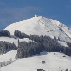
Hohe Salve
3.7 km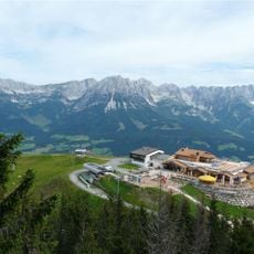
Hartkaiser
4.9 km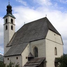
Stadtpfarrkirche Kitzbühel
2.5 km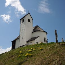
Salvenkirchl
3.7 km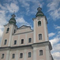
Dekanatspfarrkirche Brixen im Thale
184 m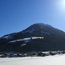
Gaisberg
4 km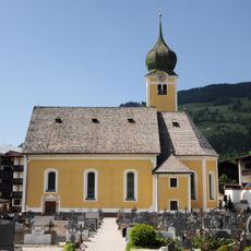
Röm.-kath. Pfarrkirche zum Heiligen Nikolaus in Westendorf, Tyrol
3.3 km
Skiweltbahn
368 m
Salvenbahn II
4.7 km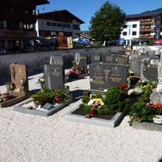
Friedhof Brixen im Thale
149 m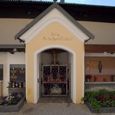
Friedhofsummauerung mit Nischenbildstöcken und Wirtschaftsgebäude
3.3 km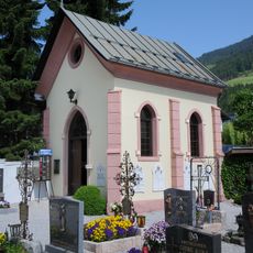
Lourdeskapelle
3.2 km
Jordan-Kapelle
2.6 km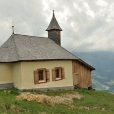
Kapelle hl. Mariä Heimsuchung, Kapelle Harlaßanger
4.8 km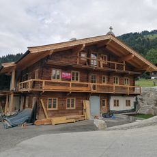
Einhof Boar, Westendorf, Tyrol
2.3 km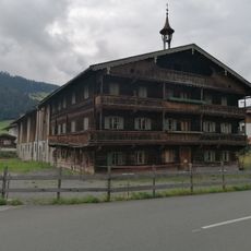
Bauernhofanlage Obermannhart
3.3 km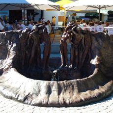
Brunnen
122 m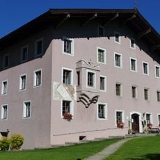
Widum Brixen im Thale
180 m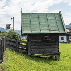
Spertendorfkapelle
4.3 km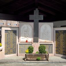
Kriegerdenkmal
3.2 km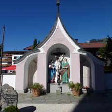
Bildstock, Kriegerdenkmal
134 m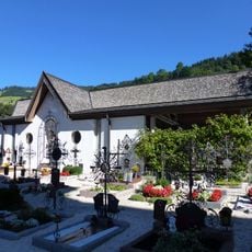
Aufbahrungshalle
150 m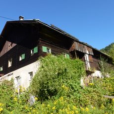
Dechantstall, Brixen im Thale
223 m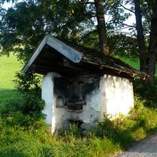
Backofen
1.7 km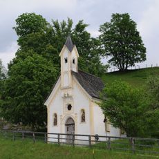
Kapelle Hl. Kreuz, Stocker-Marter-Kapelle
3.7 km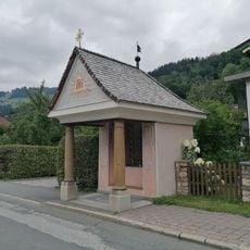
Weidachkapelle, Walterkapelle
416 m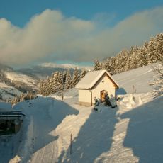
Oberhöhenmooskapelle
4.3 km
Vorderbergkapelle
701 mVisited this place? Tap the stars to rate it and share your experience / photos with the community! Try now! You can cancel it anytime.
Discover hidden gems everywhere you go!
From secret cafés to breathtaking viewpoints, skip the crowded tourist spots and find places that match your style. Our app makes it easy with voice search, smart filtering, route optimization, and insider tips from travelers worldwide. Download now for the complete mobile experience.

A unique approach to discovering new places❞
— Le Figaro
All the places worth exploring❞
— France Info
A tailor-made excursion in just a few clicks❞
— 20 Minutes