
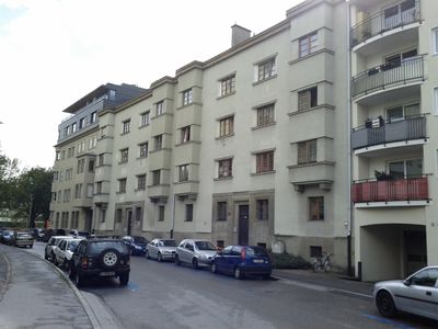
Kommunaler Wohnbau, building in Innsbruck, Austria
Location: Innsbruck
Address: Unterbergerstraße 3, 5
GPS coordinates: 47.26131,11.37890
Latest update: March 7, 2025 14:36
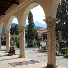
Westfriedhof
585 m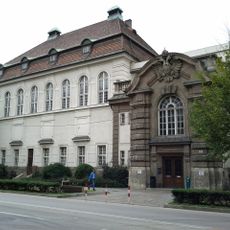
University and State Library Tyrol
567 m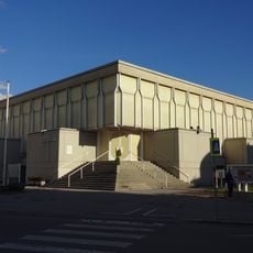
Petrus Canisius Church
298 m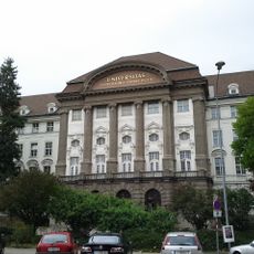
Universitätshauptgebäude
456 m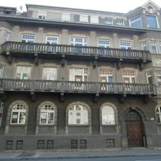
Landeskrankenhaus, Zahlstock
584 m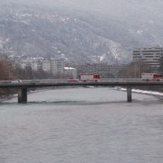
Freiburger Brücke
222 m
Ágnes-Heller-Haus
383 m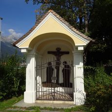
Kreuzkapelle Egger-Lienz-Straße
603 m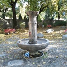
Tierschutzbrunnen im Beselepark
578 m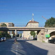
Mittenwaldbahn – Brücke Völser Straße
529 m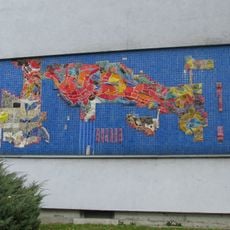
Kindergarten Bachlechnerstraße - Mosaik
284 m
Karwendelbrücke
495 m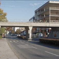
Mittenwaldbahn – Brücke Fürstenweg
461 m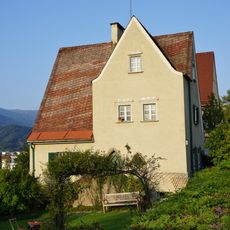
Villa Walter
564 m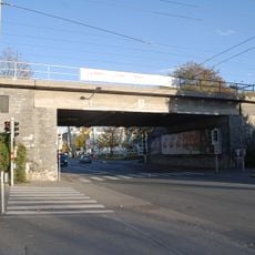
Mittenwaldbahn – Brücke Mitterweg
414 m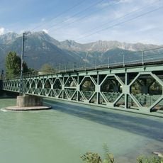
Mittenwaldbahn – Karwendelbrücke (nördl. Teil)
494 m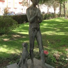
Figur Maienflötenspieler
518 m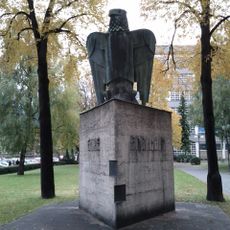
War memorial at University of Innsbruck
441 m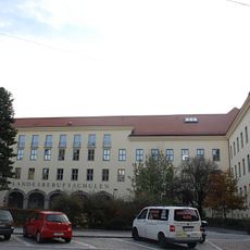
Landesberufsschulen, Innsbruck
540 m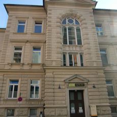
Universitätsklinik Innsbruck - Hautklinik
618 m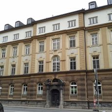
Kaiser-Franz-Josef-Jubiläums-Siechenhaus
510 m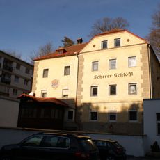
Scherer-Schloessl
588 m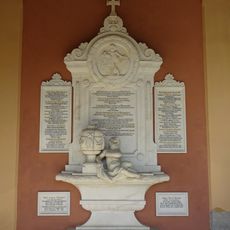
Westfriedhof, Innsbruck - Hormayr grave
519 m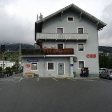
Station building Hötting
374 m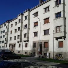
Kommunaler Wohnbau
342 m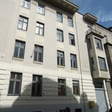
Wohnhaus
452 m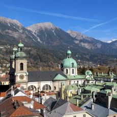
Cultural Landscape of Innsbruck-Nordkette/Karwendel
408 m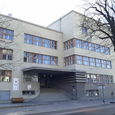
Hauptschule Hötting
481 mVisited this place? Tap the stars to rate it and share your experience / photos with the community! Try now! You can cancel it anytime.
Discover hidden gems everywhere you go!
From secret cafés to breathtaking viewpoints, skip the crowded tourist spots and find places that match your style. Our app makes it easy with voice search, smart filtering, route optimization, and insider tips from travelers worldwide. Download now for the complete mobile experience.

A unique approach to discovering new places❞
— Le Figaro
All the places worth exploring❞
— France Info
A tailor-made excursion in just a few clicks❞
— 20 Minutes