
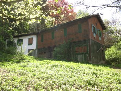
Radfeld, Schießstand, Denkmalgeschütztes Objekt in Radfeld (122280)
Location: Radfeld
Address: Siedlung 135
GPS coordinates: 47.43825,11.89960
Latest update: March 13, 2025 00:34
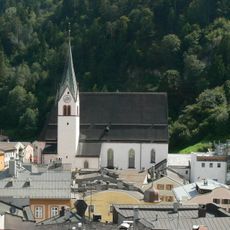
Saint Virgilius in Rattenberg
406 m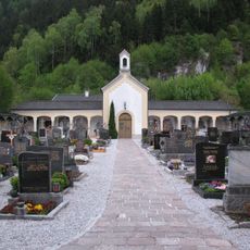
Friedhof Rattenberg und Friedhofskapelle
158 m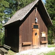
Radfeld, Stadtbergkapelle
232 m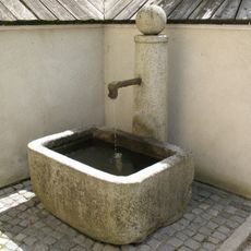
Glaserbründl
338 m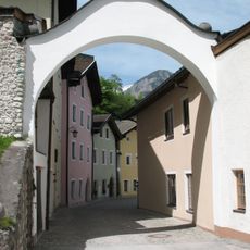
Kundler Tor, Rattenberg
306 m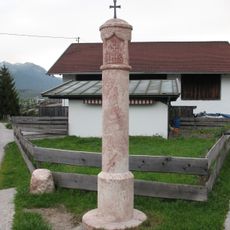
Pestsäule
392 m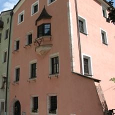
Widum Rattenberg mit Stöcklgebäude (sog. Frühmesserhaus)
356 m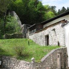
Reste der Stadtmauer
309 m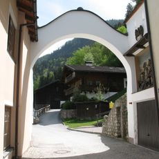
Pründl-/Kundler Tor
308 m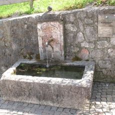
Rendlbrunnen
300 m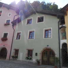
Bienerstraße 3
343 m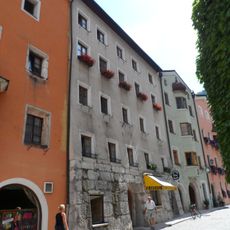
Bienerstraße 85
370 m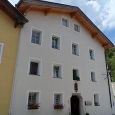
Bienerstraße 5
361 m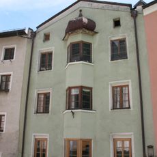
Abrahamshaus
357 m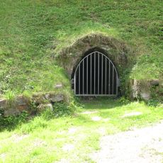
Mundloch beim Kundler Tor
300 m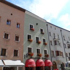
Bürgerhaus
411 m
Bürgerhaus
376 m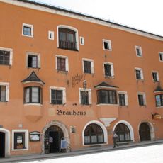
Bienerstraße 84
377 m
Bürgerhaus
333 m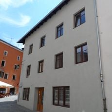
Bürgerhaus
407 m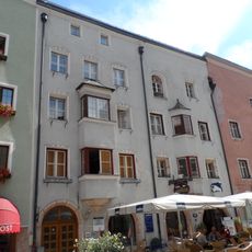
Bürgerhaus
404 m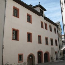
Mesnerhaus
420 m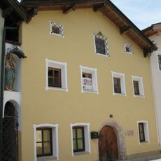
Bienerstraße 4
349 m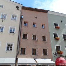
Bürgerhaus
415 m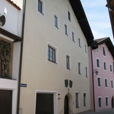
Bienerstraße 1
319 m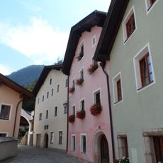
Bienerstraße 2
334 m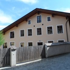
Bürgerhaus
316 m
Bürgerhaus
395 mReviews
Visited this place? Tap the stars to rate it and share your experience / photos with the community! Try now! You can cancel it anytime.
Discover hidden gems everywhere you go!
From secret cafés to breathtaking viewpoints, skip the crowded tourist spots and find places that match your style. Our app makes it easy with voice search, smart filtering, route optimization, and insider tips from travelers worldwide. Download now for the complete mobile experience.

A unique approach to discovering new places❞
— Le Figaro
All the places worth exploring❞
— France Info
A tailor-made excursion in just a few clicks❞
— 20 Minutes