
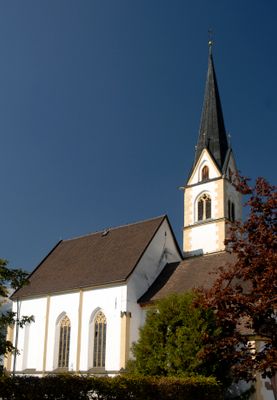
Heiligkreuzkirche, church building with cemetery in Hall in Tirol, Austria
Location: Hall in Tirol
Address: Möslweg
GPS coordinates: 47.28682,11.49400
Latest update: March 9, 2025 07:18

Franziskanerkloster Hall in Tirol
951 m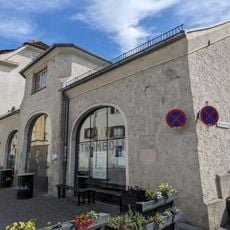
Kulturlabor Stromboli
1 km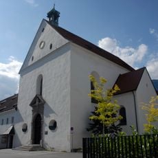
Franziskanerkirche
978 m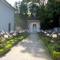
Franziskanerfriedhof
965 m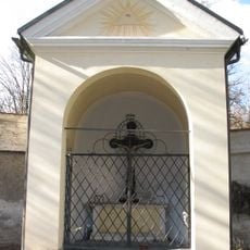
Former cemetery, Hall in Tirol
1 km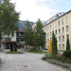
Kapelle des sog. Zufluchtshauses, Haus zum Guten Hirten und Friedhof
693 m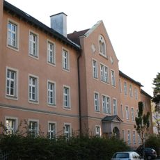
Leopoldinum, Franziskanerkolleg und Schülerhort mit Hauskapelle
918 m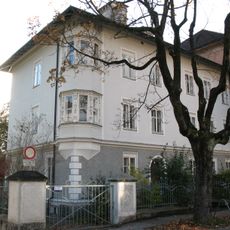
Villa des Leopoldinum
959 m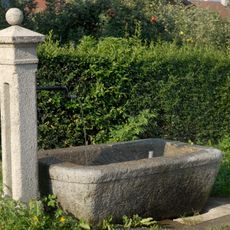
Brunnen
262 m
Bürgerhaus, ehem. Kreuzwirt-Haus, Zum Goldenen Kreuz
1 km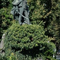
Speckbacher-Denkmal
958 m
Ansitz Rainegg
990 m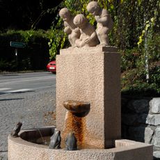
Frösche-Brunnen
979 m
Bürgerhaus
1 km
Hundebrunnen
1 km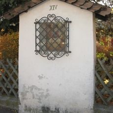
Stations of the Cross in Absam, Tyrol
948 m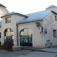
Bürgerhaus, ehem. Feuerwehr
1 km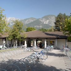
Städtisches Freischwimmbad Hall
310 m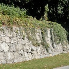
Stadtgrabenmauer beim Winkler Gut
931 m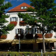
Bürgerhaus, ehem. Schüsseldrahner-Haus, später Rädermacher-Haus oder Haus nächst Schmiedtor
1 km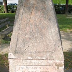
Hall in Tirol Basispunkt der Landvermessung
915 m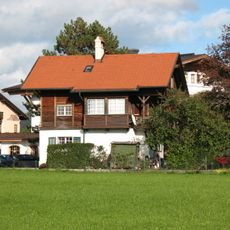
Hall in Tirol, Reimmichlhaus
67 m
Ansitz Scheidenstein
731 m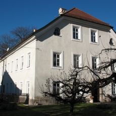
Widum
998 m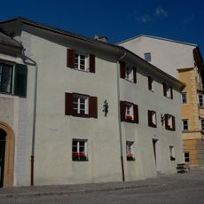
Bürgerhaus
1 km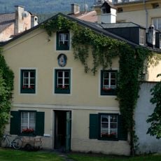
Bürgerhaus
1 km
Bürgerhaus, ehem. Gasthaus zum Stern
1 km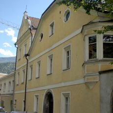
Bürgerhaus, Doppelhaus Seidnerschlössl
898 mReviews
Visited this place? Tap the stars to rate it and share your experience / photos with the community! Try now! You can cancel it anytime.
Discover hidden gems everywhere you go!
From secret cafés to breathtaking viewpoints, skip the crowded tourist spots and find places that match your style. Our app makes it easy with voice search, smart filtering, route optimization, and insider tips from travelers worldwide. Download now for the complete mobile experience.

A unique approach to discovering new places❞
— Le Figaro
All the places worth exploring❞
— France Info
A tailor-made excursion in just a few clicks❞
— 20 Minutes