
Höhensiedlung Kirchenberg, human settlement in Austria
Location: Donnerskirchen
Address: Ehrenfeld
GPS coordinates: 47.90694,16.64064
Latest update: May 24, 2025 17:01
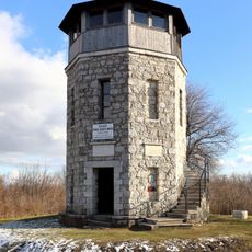
Franz-Josef-Warte
2.9 km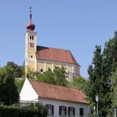
Pfarrkirche hl. Martin, Donnerskirchen
871 m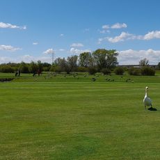
Golf Club Neusiedlersee-Donnerskirchen
3.4 km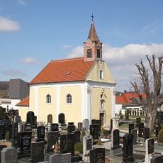
Friedhof Purbach am Neusiedler See
4 km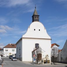
Filialkirche hl. Johannes Nepomuk, Donnerskichen
1 km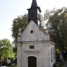
Friedhof mit Friedhofskapelle
1.3 km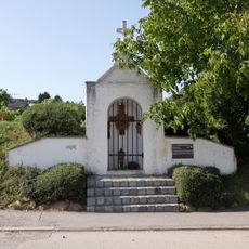
Pestkapelle
1.6 km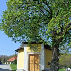
Florianikapelle
499 m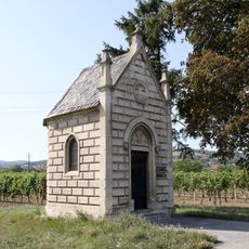
Flur-/Wegkapelle
2 km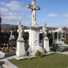
Friedhofskreuz
3.9 km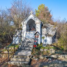
Mariahilf-Kapelle
3.7 km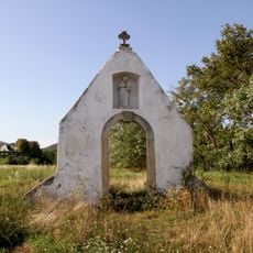
Ehem. Antoniuskapelle
3.2 km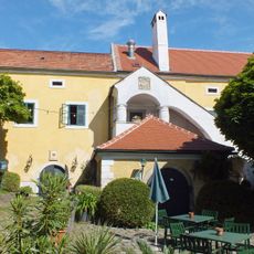
Leisserhof
1.1 km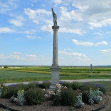
Figurenbildstock, Sebastianssäule
3.4 km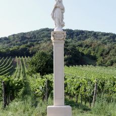
Mariensäule Weingartenweg, Donnerskirchen
937 m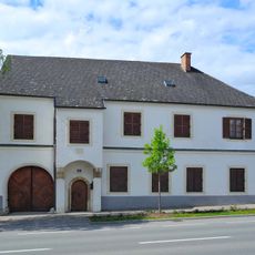
Bauernhof (Anlage)
1.3 km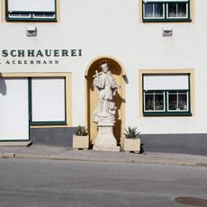
Figurenbildstock hl. Johannes Nepomuk
1 km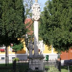
Gnadenstuhl
1.2 km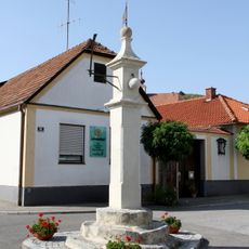
Pranger
1.1 km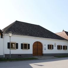
Doppelstreckhof
1.4 km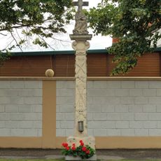
Bildstock
3.7 km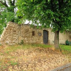
Stadtmauer
1.3 km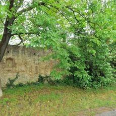
Stadtmauer
1.2 km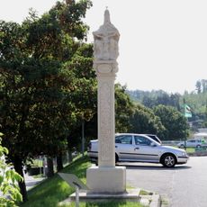
Gnadenstuhl
1.7 km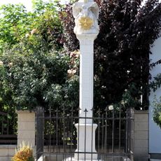
Dreifaltigkeitssäule
1.4 km
Pfarrhof
1 km
Bauernhof (Anlage)
525 m
Stadtbefestigung
4 kmReviews
Visited this place? Tap the stars to rate it and share your experience / photos with the community! Try now! You can cancel it anytime.
Discover hidden gems everywhere you go!
From secret cafés to breathtaking viewpoints, skip the crowded tourist spots and find places that match your style. Our app makes it easy with voice search, smart filtering, route optimization, and insider tips from travelers worldwide. Download now for the complete mobile experience.

A unique approach to discovering new places❞
— Le Figaro
All the places worth exploring❞
— France Info
A tailor-made excursion in just a few clicks❞
— 20 Minutes