
Römische Villa und hallstattzeitliche Siedlung, building in Judenau-Baumgarten, Austria
Location: Judenau-Baumgarten
Address: Mitterfeld
GPS coordinates: 48.29355,16.05674
Latest update: March 19, 2025 21:56
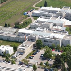
Technopol Tulln
3 km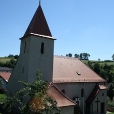
Pfarrkirche Chorherren
2.6 km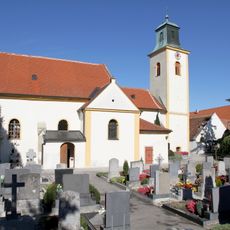
Pfarrkirche Freundorf
1.2 km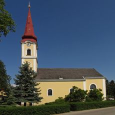
Kath. Pfarrkirche hl. Rochus
3.6 km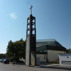
Pfarrkirche St. Severin, Tulln
3.4 km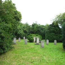
Jewish cemetery Tulln
3.3 km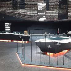
Haus der Digitalisierung
3 km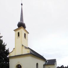
Chapel in Staasdorf
702 m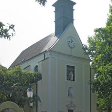
Kath. Filialkirche Mariae Heimsuchung
2.4 km
Ursprungskapelle Frauenhofen
2.4 km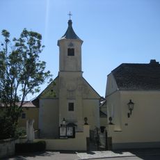
Kath. Pfarrkirche hl. Dreifaltigkeit
3.6 km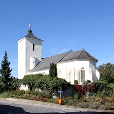
Filialkirche hl. Ulrich, Baumgarten
2.2 km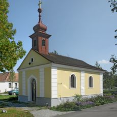
Ortskapelle
3.3 km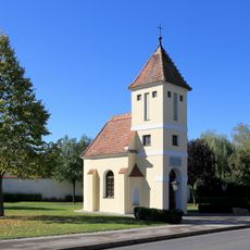
Ortskapelle hl. Bartholomäus
3.1 km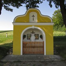
Flur-/Wegkapelle
2.7 km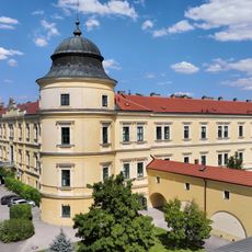
Judenau Castle
3.5 km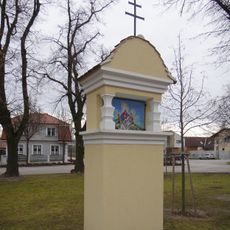
Wayside shrine Frauenhofen Lindenstrasse 5
2.1 km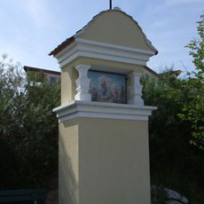
Bildstock Nr. 2 Frauenhofnerstraße
2.8 km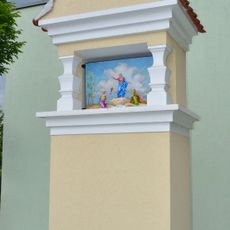
Bildstock Nr. 1 Frauenhofnerstraße
3 km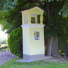
Langenrohr Bildstock 1683
3.4 km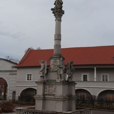
Mariensäule
3.6 km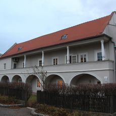
Ehem. Verwalterhaus, sog. Eremiten- oder Kapuzinerstöckl
3.6 km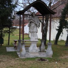
Figur hl. Johannes von Nepomuk
3.6 km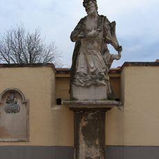
Figur hl. Donatus
3.6 km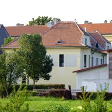
Ehem. Schwesternschulheim
3.6 km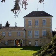
Passauischer Freihof
1.3 km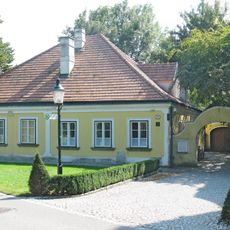
Wohnhaus, ehem. Volksschule
2.4 km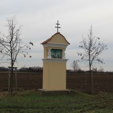
Bildstöcke Frauenhofen, Tulln an der Donau
2.8 kmVisited this place? Tap the stars to rate it and share your experience / photos with the community! Try now! You can cancel it anytime.
Discover hidden gems everywhere you go!
From secret cafés to breathtaking viewpoints, skip the crowded tourist spots and find places that match your style. Our app makes it easy with voice search, smart filtering, route optimization, and insider tips from travelers worldwide. Download now for the complete mobile experience.

A unique approach to discovering new places❞
— Le Figaro
All the places worth exploring❞
— France Info
A tailor-made excursion in just a few clicks❞
— 20 Minutes