
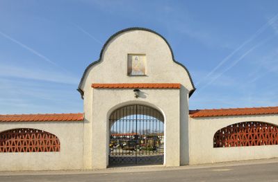
Friedhof christlich, cemetery in Wolfern, Austria
Location: Wolfern
Address: Maria Laah Straße
GPS coordinates: 48.12441,14.35571
Latest update: March 2, 2025 20:16
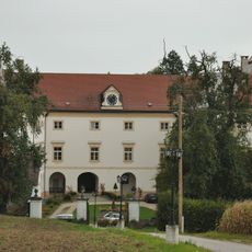
Schloss Losensteinleithen
997 m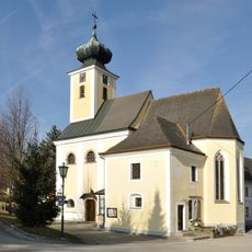
Pfarrkirche Maria Laah
328 m
Golfpark Metzenhof
5.9 km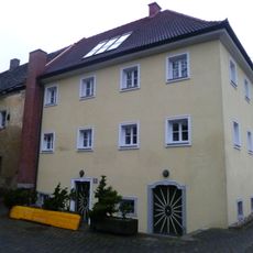
Schloss Stein
6 km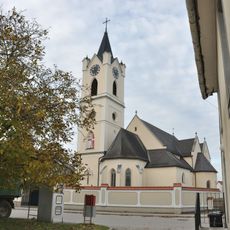
Pfarrkirche Hargelsberg
5.8 km
Pfarrkirche Niederneukirchen
4.2 km
Dietach Parish Church
5.8 km
Pfarrkirche hl. Martin, Wolfern
4.8 km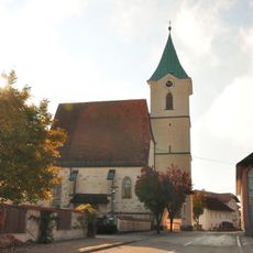
Pfarrkirche Hofkirchen im Traunkreis
2.5 km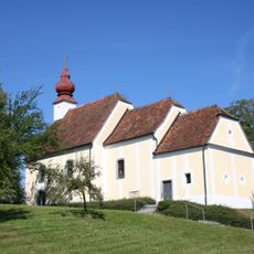
Wallfahrtskirche Ruprechtshofen
3.9 km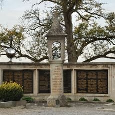
Friedhof, Kriegerdenkmal
5.8 km
Bauern- und Technikmuseum Gallhuberhof
3.7 km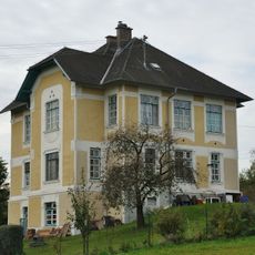
Doktor-Villa
5.9 km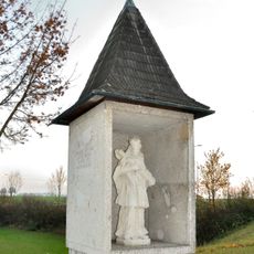
Figurenbildstock hl. Johannes Nepomuk
976 m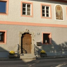
Gasthaus Voglsam
2.5 km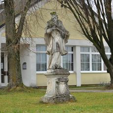
Figurenbildstock hl. Johannes Nepomuk
5 km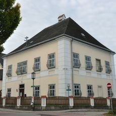
Pfarrhof
5.8 km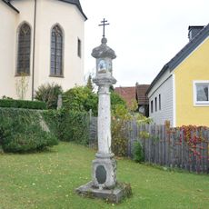
Bildstock
6.2 km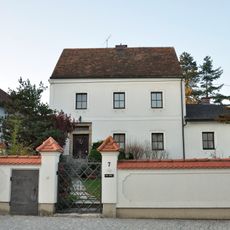
Ehem. Jägerhaus
921 m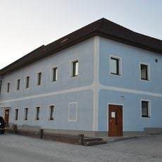
Gasthaus, ehem. Taverne
936 m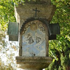
Aignerkreuz
2 km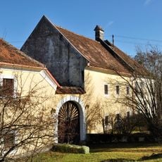
Mühle, ehem. Pfarrgutshof
4.9 km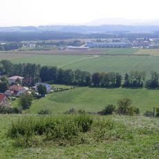
Römische Fundzone Dietach
6.1 km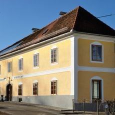
Wohnhaus, ehem. Gasthaus
4.8 km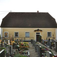
Ehem. Pfarrhof, jetzt Aufbahrungshalle
2.5 km
Hausberganlage Mair zu Hauzenbach
850 m
F. Arnleitner-Schule
2.6 km
Niederbrunnernstraße 17, Sierning
5 kmVisited this place? Tap the stars to rate it and share your experience / photos with the community! Try now! You can cancel it anytime.
Discover hidden gems everywhere you go!
From secret cafés to breathtaking viewpoints, skip the crowded tourist spots and find places that match your style. Our app makes it easy with voice search, smart filtering, route optimization, and insider tips from travelers worldwide. Download now for the complete mobile experience.

A unique approach to discovering new places❞
— Le Figaro
All the places worth exploring❞
— France Info
A tailor-made excursion in just a few clicks❞
— 20 Minutes