
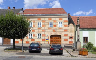
Former Rathaus Thaya, building in Thaya, Austria
Location: Thaya
Address: Hauptstraße 22
GPS coordinates: 48.85549,15.28836
Latest update: March 5, 2025 16:13
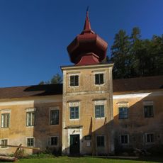
Schloss Vestenötting
3 km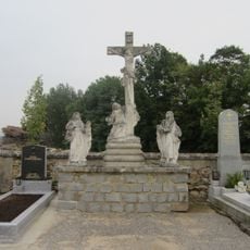
Friedhof christlich
362 m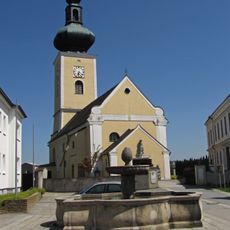
Saints Peter and Paul Church
176 m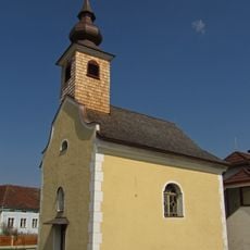
Ortskapelle Großgerharts
2.4 km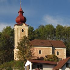
Kath. Filialkirche hl. Anna, ehem. Schlosskapelle
2.9 km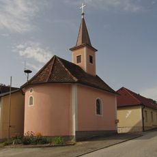
Ortskapelle Oberedlitz
2.2 km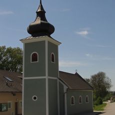
Ortskapelle Mariae Himmelfahrt
2.8 km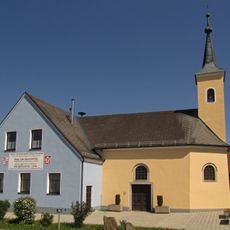
Spitalskapelle hl. Johannes d.Täufer
238 m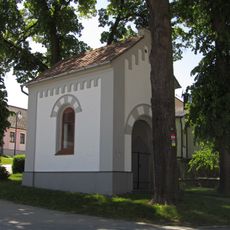
Flur-/Wegkapelle
178 m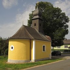
Ortskapelle Eggmanns
3.3 km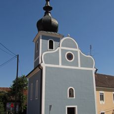
Ortskapelle Niederedlitz
2.2 km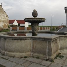
Brunnen
116 m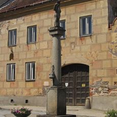
Pranger Thaya
13 m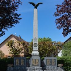
War memorial Thaya
233 m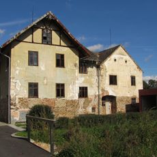
Sixmühle
3.3 km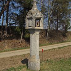
Bildstock
3.6 km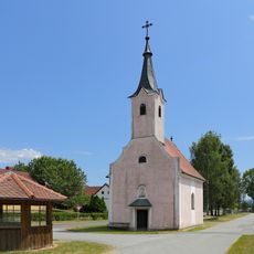
Ortskapelle hl. Anna
2.3 km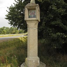
Bildstock
1.8 km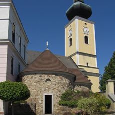
Karner (Thaya)
168 m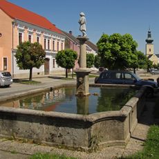
Brunnen
82 m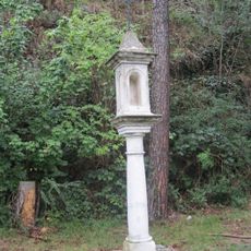
Bildstock, Köpfmarterl
4.3 km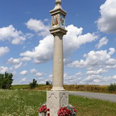
Bildsäule bei Jarolden
2.5 km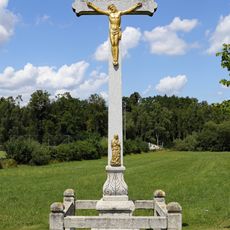
Wegkreuz
496 m
Paulstein
3.1 km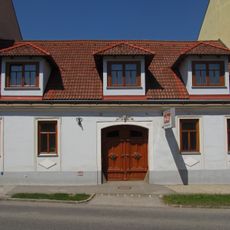
Bürgerhaus
177 m
Bürgerhaus
79 m
Gnadenstuhl
393 m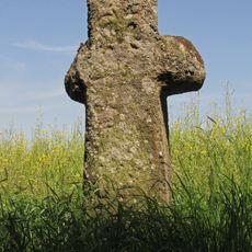
Wegkreuz, Schwedenkreuz
739 mVisited this place? Tap the stars to rate it and share your experience / photos with the community! Try now! You can cancel it anytime.
Discover hidden gems everywhere you go!
From secret cafés to breathtaking viewpoints, skip the crowded tourist spots and find places that match your style. Our app makes it easy with voice search, smart filtering, route optimization, and insider tips from travelers worldwide. Download now for the complete mobile experience.

A unique approach to discovering new places❞
— Le Figaro
All the places worth exploring❞
— France Info
A tailor-made excursion in just a few clicks❞
— 20 Minutes