
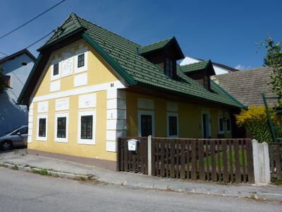
Wohnhaus, building in Rappottenstein, Austria
Location: Rappottenstein
Address: Kirchbach 7
GPS coordinates: 48.53858,15.05178
Latest update: March 11, 2025 15:07
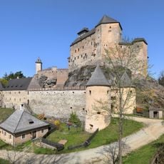
Rappottenstein Castle
4 km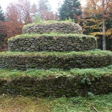
Waldviertel Pyramid
4.2 km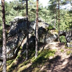
Steinerner Torbogen
3.5 km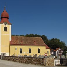
Pfarrkirche Etzen
2.5 km
Pfarrkirche Marbach am Walde
2.8 km
Friedhofskapelle Marbach am Walde
2.8 km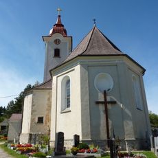
Pfarrkirche Kirchbach
77 m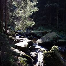
Höllfall
5.9 km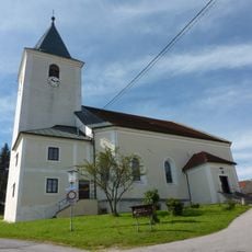
Pfarrkirche Rappottenstein
2.8 km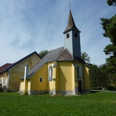
Filialkirche Pehendorf
5.5 km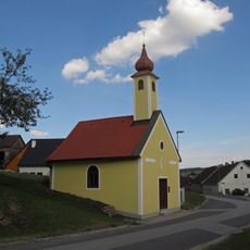
Ortskapelle Uttissenbach
5.4 km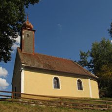
Ortskapelle Merzenstein
4.7 km
Ortskapelle hl. Hyppolyt
2.4 km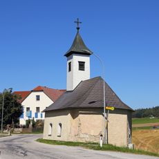
Ortskapelle Haselbach
5.6 km
Straßenbrücke und Wegkapelle
3.7 km
Johannes Nepomuk-Kapelle
3.2 km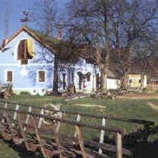
Village museum Roiten
5.6 km
Wohn- und Wirtschaftsgebäude, ehem. Gasthaus
72 m
Pranger
2.8 km
Pfarrhof
2.8 km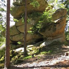
Gletschermühle ("Glacier mill")
3.2 km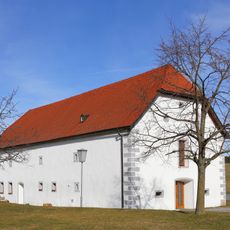
Körnerkasten
3.7 km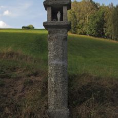
Bildstock
4.9 km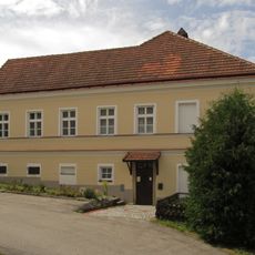
Pfarrhof
2.8 km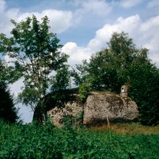
Niglstoan
5.8 km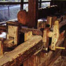
Brettersäge samt zugehörigem Gebäude
347 m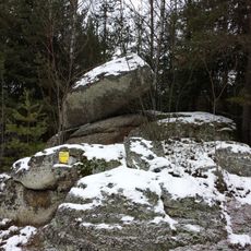
Balancing rock near Pretrobruck
5.6 km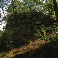
Steinpyramide
2.7 kmReviews
Visited this place? Tap the stars to rate it and share your experience / photos with the community! Try now! You can cancel it anytime.
Discover hidden gems everywhere you go!
From secret cafés to breathtaking viewpoints, skip the crowded tourist spots and find places that match your style. Our app makes it easy with voice search, smart filtering, route optimization, and insider tips from travelers worldwide. Download now for the complete mobile experience.

A unique approach to discovering new places❞
— Le Figaro
All the places worth exploring❞
— France Info
A tailor-made excursion in just a few clicks❞
— 20 Minutes