
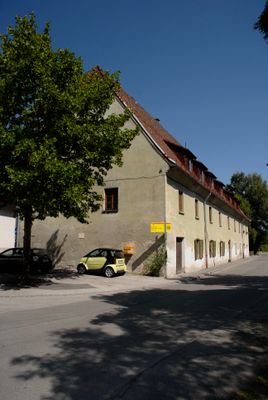
Wohnhaus ehem. Salzstadel, building in Hall in Tirol, Austria
Location: Hall in Tirol
Address: Untere Lend 17
GPS coordinates: 47.27746,11.51637
Latest update: March 13, 2025 14:10
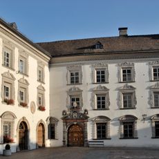
Haller Damenstift
646 m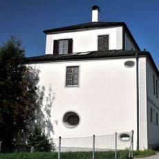
Thöml-Schlössl
568 m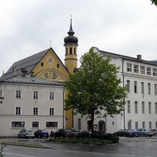
Kloster der Tertiarschwestern
658 m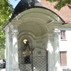
Johannes Nepomuk-Kapelle, Lend-Kapelle
35 m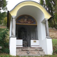
Sonnenkapelle
364 m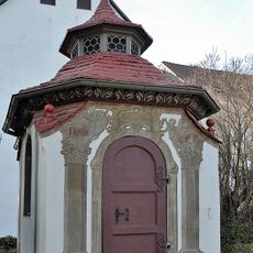
Hofkapelle, Josefskapelle
593 m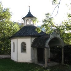
Kapelle Maria Schnee
547 m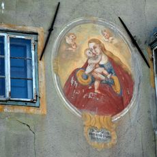
Mariahilf-Fresko
581 m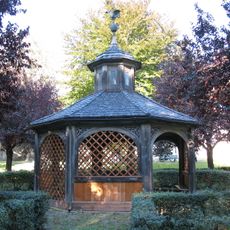
Brunnenhaus, Hall in Tirol
624 m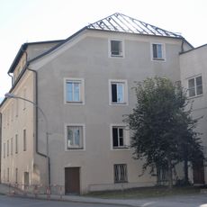
Sog. Seeger-Haus, ehem. Badhaus
637 m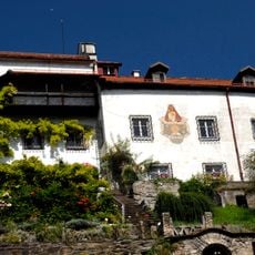
Siberschlössl
428 m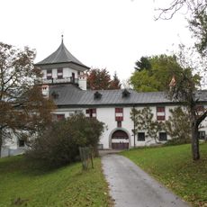
Ansitz Taschenlehen
409 m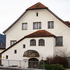
Sog. Knollhaus, Verwaltungsgebäude des Bezirkskrankenhauses (ehem. Isolierspital)
586 m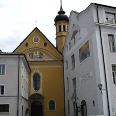
Spitalkirche zum hl. Geist, Klosterkirche der Tertiar Schulschwestern
645 m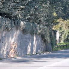
Gartenmauern
590 m
Umfriedung, Kiechelangermauer
647 m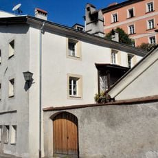
Bürgerhaus
639 m
Bürgerhaus
647 m
Ehem. Bezirksforstinspektion
626 m
Milser Straße 4, Hall in Tirol
631 m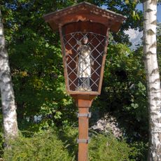
Bildstock hl. Johannes Nepomuk
601 m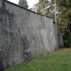
Begrenzungsmauer des ehem. Stiftsgartens
644 m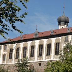
Ehemaliges Sommerhaus des Damenstiftes
574 m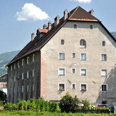
Wohnhaus, ehem. Schüttkasten
140 m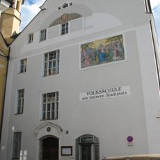
Volksschule Unterer Stadtplatz, ehem. städtische Mädchenschule
658 m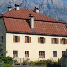
Bürgerhaus, Unteres Brockengut
576 m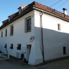
Ehem. Sommerhaus der Haller Handelsherren Högwein, Schopperkarl-Haus
484 m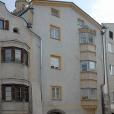
Bürgerhaus
652 mVisited this place? Tap the stars to rate it and share your experience / photos with the community! Try now! You can cancel it anytime.
Discover hidden gems everywhere you go!
From secret cafés to breathtaking viewpoints, skip the crowded tourist spots and find places that match your style. Our app makes it easy with voice search, smart filtering, route optimization, and insider tips from travelers worldwide. Download now for the complete mobile experience.

A unique approach to discovering new places❞
— Le Figaro
All the places worth exploring❞
— France Info
A tailor-made excursion in just a few clicks❞
— 20 Minutes