
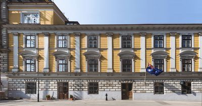
Magdalenenstraße 30-32, building in Mariahilf, Austria
Location: Mariahilf
Address: Magdalenenstraße 30-32
GPS coordinates: 48.19429,16.35233
Latest update: March 7, 2025 05:35
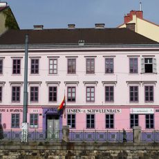
Rosa Lila Villa
153 m
Theater an der Gumpendorfer Strasse
143 m
Zum Auge Gottes
125 m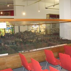
Bezirksmuseum Mariahilf
56 m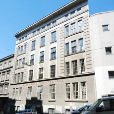
Dampfkraftwerk Kaunitzgasse
267 m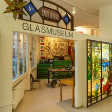
Glasmuseum Mariahilf
56 m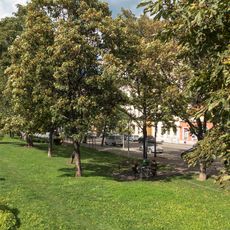
Ernst-Arnold-Park
177 m
Mollardgasse 8
61 m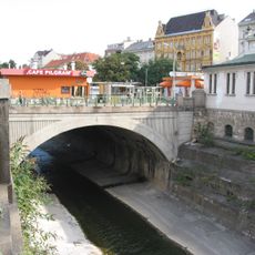
Pilgrambrücke
216 m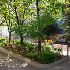
Helene-Heppe-Park
13 m
Richard-Waldemar-Denkmal Wien
80 m
Gemeindebau Rechte Wienzeile 71
200 m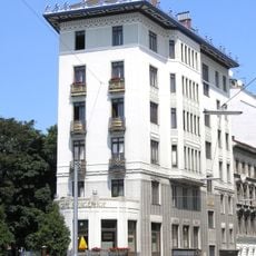
Rüdigerhof
248 m
Gemeindebau Rechte Wienzeile 69
220 m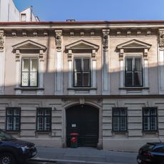
Haus Esterházygasse 10
88 m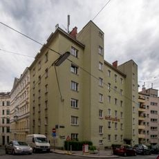
Gemeindebau Kaunitzgasse 11-13
274 m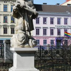
Statue of John of Nepomuk, Rechte Wienzeile 85, Margareten
212 m
Wohnhaus
156 m
Bernhard-Ludwig-Haus, Münzwardeingasse 2, Mariahilf
44 m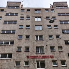
Gemeindebau Kaunitzgasse 15-17
247 m
Hubert-Feilnreiter-Hof
246 m
Alfred-Porges-Hof
199 m
Gemeindebau Brauergasse 4
176 m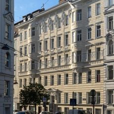
Miethaus Worellstraße 3
203 m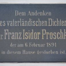
Gedenktafel für Franz Isidor Proschko
193 m
Gemeindebau Corneliusgasse 1
113 m
Elfi-Dassanowsky-Hof
188 m
Wohnhausanlage Magdalenenstraße 9
217 mVisited this place? Tap the stars to rate it and share your experience / photos with the community! Try now! You can cancel it anytime.
Discover hidden gems everywhere you go!
From secret cafés to breathtaking viewpoints, skip the crowded tourist spots and find places that match your style. Our app makes it easy with voice search, smart filtering, route optimization, and insider tips from travelers worldwide. Download now for the complete mobile experience.

A unique approach to discovering new places❞
— Le Figaro
All the places worth exploring❞
— France Info
A tailor-made excursion in just a few clicks❞
— 20 Minutes