
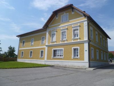
Wohnhaus, ehem. Gemeindeamt und Volksschule, building in Utzenaich, Austria
Location: Utzenaich
Address: Binderweg 1
GPS coordinates: 48.27656,13.46032
Latest update: March 8, 2025 22:41
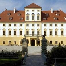
Schloss Aurolzmünster
3 km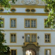
Schloss Sankt Martin im Innkreis
2.7 km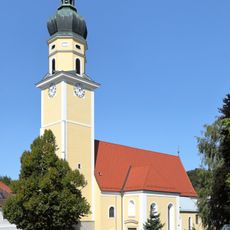
Sankt Martin
2.5 km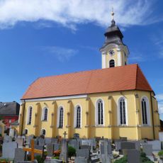
Katholische Pfarrkirche Heiliger Apostel Andreas
4.7 km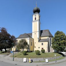
Saint Maurice Church
3.2 km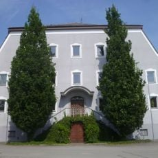
Schloss Utzenaich
110 m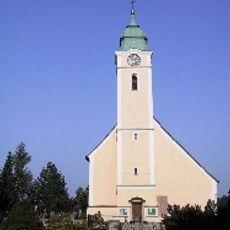
Pfarrkirche Mariä Himmelfahrt, Eitzing
4.6 km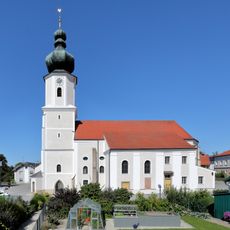
Pfarrkirche Mariä Himmelfahrt, Utzenaich
88 m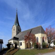
Holy Trinity Church (Andrichsfurt)
5 km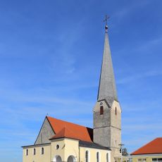
Holy Cross Church
3.6 km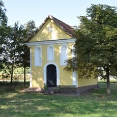
Kapelle in Maria Aich
5.1 km
Friedhof St. Martin im Innkreis
2.3 km
Katholische Filialkirche Heiliger Veit
4.1 km
Bründlkapelle Pötting
4.7 km
Bründlkapelle
5.1 km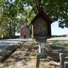
Calvary St. Ulrich, Furth
2.8 km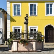
Marktbrunnen
3.2 km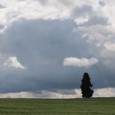
Zypresse in Eitzing
4.7 km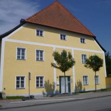
Pfarrhof
2.4 km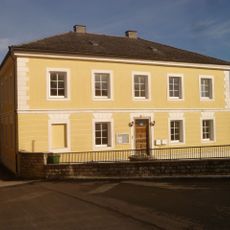
Pfarrhof, Kindergarten
4.6 km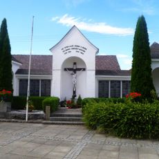
War memorial
4.7 km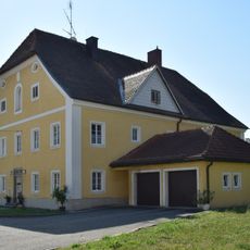
Pfarrhof Aurolzmünster
3.3 km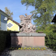
Kriegerdenkmal
5.1 km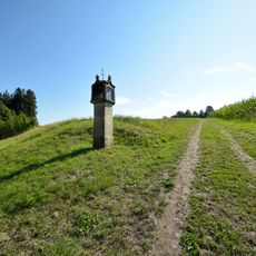
Bildstock Pötting
4.7 km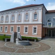
Gemeindeamt
91 m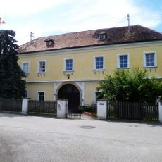
Pfarrhof
4.7 km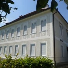
Volksschule
2.4 km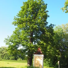
Stieleiche in St. Martin
2.6 kmVisited this place? Tap the stars to rate it and share your experience / photos with the community! Try now! You can cancel it anytime.
Discover hidden gems everywhere you go!
From secret cafés to breathtaking viewpoints, skip the crowded tourist spots and find places that match your style. Our app makes it easy with voice search, smart filtering, route optimization, and insider tips from travelers worldwide. Download now for the complete mobile experience.

A unique approach to discovering new places❞
— Le Figaro
All the places worth exploring❞
— France Info
A tailor-made excursion in just a few clicks❞
— 20 Minutes