
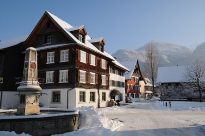
Farmhouse Hatlerstraße 53, Dornbirn, human settlement in Austria
Location: Dornbirn
Address: Hatlerstraße 53
GPS coordinates: 47.43001,9.75596
Latest update: March 31, 2025 13:49
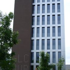
LifeCycle Tower
1.5 km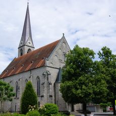
Pfarrkirche Hl. Sebastian
1.8 km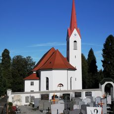
Stadtpfarrkirche Mariä Heimsuchung
11 m
Steam engines Dornbirn
1.6 km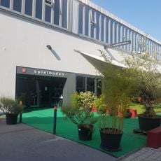
Spielboden
1.6 km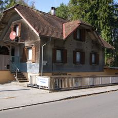
Forach power plant
1.6 km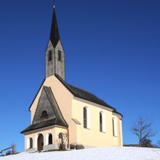
Kapelle Hl. Ottilie
1.3 km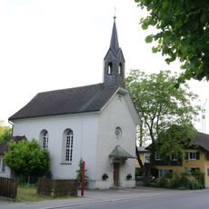
Kapelle Hl Dreifaltigkeit und 14 Nothelfer (Haselstauden)
786 m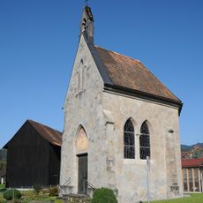
Lourdeskapelle, Kapellenstraße in Schwarzach
1.9 km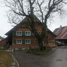
Bantlingen
1.8 km
Unterries
1.8 km
Grafenhaus
74 m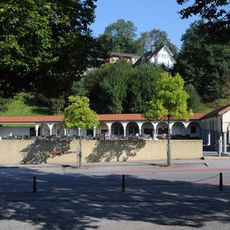
Cemetery Schwarzach
1.8 km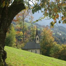
Romberger Kapelle
1.6 km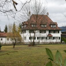
Villa Franz M. Rhomberg, Oskar Rhomberg
1.6 km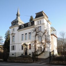
Villa Schwendinger
1.9 km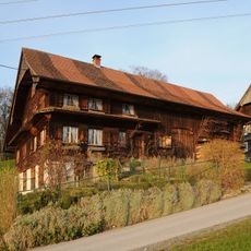
Unterfallenberg 2
901 m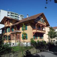
Villa Auf der Flur
1.9 km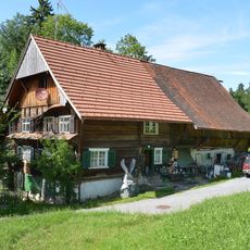
Farmhouse Hohlen 2, Dornbirn
1 km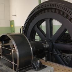
Dampfmaschine Rhombergs Fabrik
1.5 km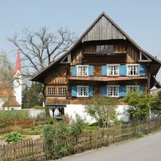
Mitteldorfgasse 10
126 m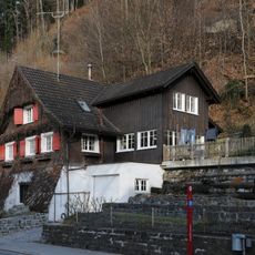
Kehlerstraße 52
763 m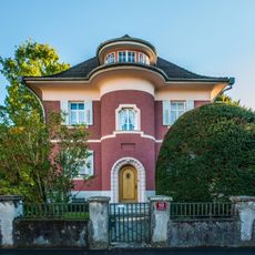
Villa
1.9 km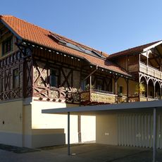
Franz-Michael-Felder-Straße 5
1.9 km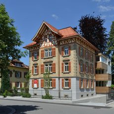
Wohnhaus
1.9 km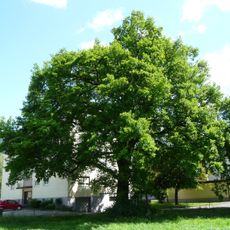
Pedunculate oak natural monument
1 km
Arbeiterhäuser Bündtlittenstrasse
1.6 km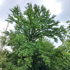
Natural monument oak (Quercus)
1.8 kmVisited this place? Tap the stars to rate it and share your experience / photos with the community! Try now! You can cancel it anytime.
Discover hidden gems everywhere you go!
From secret cafés to breathtaking viewpoints, skip the crowded tourist spots and find places that match your style. Our app makes it easy with voice search, smart filtering, route optimization, and insider tips from travelers worldwide. Download now for the complete mobile experience.

A unique approach to discovering new places❞
— Le Figaro
All the places worth exploring❞
— France Info
A tailor-made excursion in just a few clicks❞
— 20 Minutes