
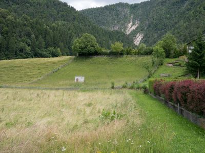
Römische Straßenstation Oberdrauburg, building in Oberdrauburg, Austria
Location: Oberdrauburg
Address: Schröttelhofer Feld
GPS coordinates: 46.75019,12.96345
Latest update: March 8, 2025 12:56
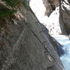
Klettersteig Pirknerklamm
3.4 km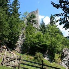
Burgruine Flaschberg
1.9 km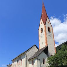
Pfarrkirche hl. Leonhard, Zwickenberg, Oberdrauburg
2 km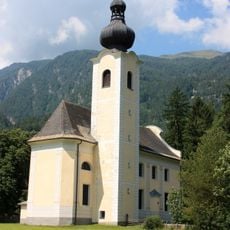
Wallfahrtskirche Maria Rosenkranzkönigin, Oberdrauburg
2.9 km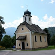
Filialkirche Simmerlach
2.4 km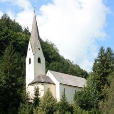
Pfarrkirche Ötting
869 m
Kirche Stresweg
4 km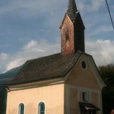
Kirche in Potschling
3.8 km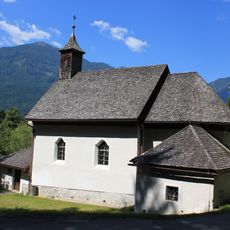
Filialkirche Maria Hilf am Rosenberg
523 m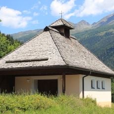
Kapelle hl. Maria in Zwickenberg
2.3 km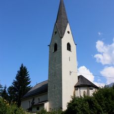
Pfarrkirche Ötting
867 m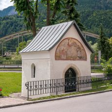
Postmeisterstöckl, Oberdrauburg
511 m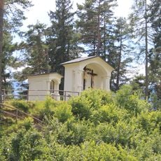
Spitzbühelkapellen
3.9 km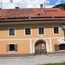
Brauchtumsmuseum, Umfahrerhaus
499 m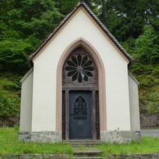
Wegkapelle, Gailbergstöckl
1.2 km
Wohnhaus
613 m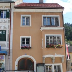
Wohnhaus
545 m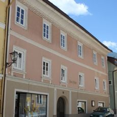
Wohnhaus
596 m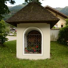
Gasper-Martl
4.1 km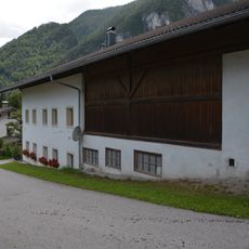
Einhof Eder
4.1 km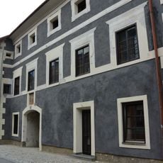
Haus Marktstraße 10, Oberdrauburg
630 m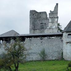
Burgruine Hohenburg
419 m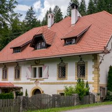
Gutshof Schröttelhof
412 m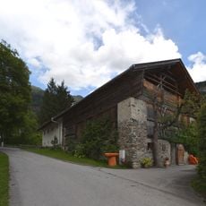
Einhof Seifter
4.1 km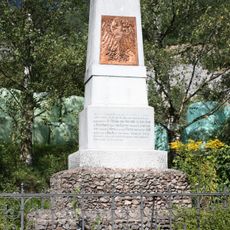
Kriegerdenkmal, Chrysanthener Schanze
3.9 km
Pfarrhof
851 m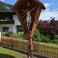
Wegkreuz Plautz
4.2 km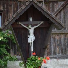
Wegkreuz Hansauer
4.2 kmVisited this place? Tap the stars to rate it and share your experience / photos with the community! Try now! You can cancel it anytime.
Discover hidden gems everywhere you go!
From secret cafés to breathtaking viewpoints, skip the crowded tourist spots and find places that match your style. Our app makes it easy with voice search, smart filtering, route optimization, and insider tips from travelers worldwide. Download now for the complete mobile experience.

A unique approach to discovering new places❞
— Le Figaro
All the places worth exploring❞
— France Info
A tailor-made excursion in just a few clicks❞
— 20 Minutes