
Former Town Hall, building in Zistersdorf, Austria
Location: Zistersdorf
Address: Hauptstraße 35
GPS coordinates: 48.54563,16.76293
Latest update: March 3, 2025 17:46

Wallfahrtskirche Maria Moos
380 m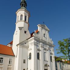
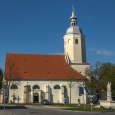
Stadtpfarrkirche Zistersdorf
135 m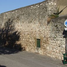
Stadtbefestigung Zistersdorf
162 m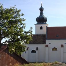
Pfarrkirche hl. Wolfgang Loidesthal
5.3 km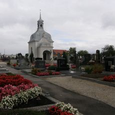
Friedhof Zistersdorf
508 m
Filialkirche hl. Urban, Gaiselberg
3.4 km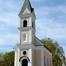
Ortskapelle Gösting, Zistersdorf
1.4 km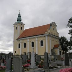
Saint Rosalia Church
2.2 km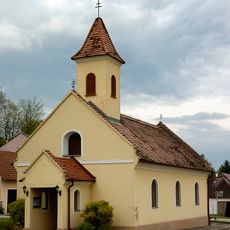
Ortskapelle Verklärung Christi
2.1 km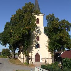
Ortskapelle Eichhorn, Zistersdorf
5 km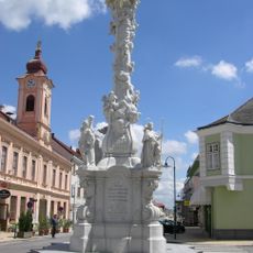
Plague column, Zistersdorf
30 m
Kriegerdenkmal, Zistersdorf
354 m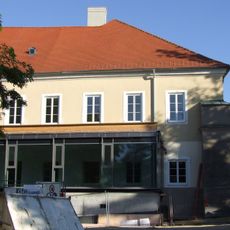
Berufsschule, Zistersdorf
373 m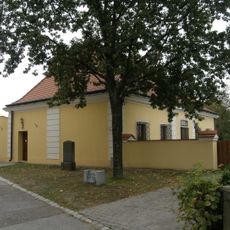
Pfarrhof Großinzersdorf, Gemeinde Zistersdorf
2.2 km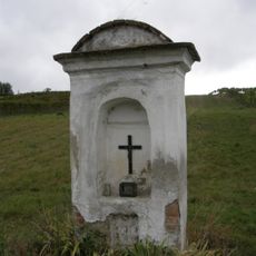
Bildstock Windisch Baumgarten, Gemeinde Zistersdorf
1.9 km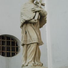
Figurenbildstöcke hll. Johannes Nepomuk und Florian
128 m
Figurenbildstock hl. Johannes Nepomuk
2.4 km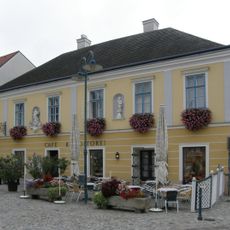
Bürgerhaus
91 m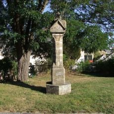
Pfeiler 1510, Zistersdorf
221 m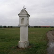
Bildstock
2.9 km
Pfarrhof Zistersdorf
122 m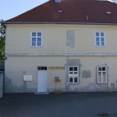
Meierhof
284 m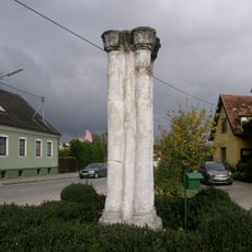
Brotlaibsäule
491 m
Bürgerspital Zistersdorf
151 m
Figurenbildstock hl. Johannes Nepomuk
125 m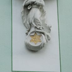
Barocke Figur Maria Immaculata
32 m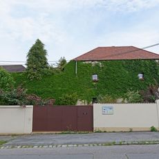
Sog. Pulverturm samt anschließender Stadtmauer
169 m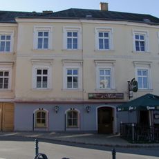
Wohn- und Gasthaus
160 mVisited this place? Tap the stars to rate it and share your experience / photos with the community! Try now! You can cancel it anytime.
Discover hidden gems everywhere you go!
From secret cafés to breathtaking viewpoints, skip the crowded tourist spots and find places that match your style. Our app makes it easy with voice search, smart filtering, route optimization, and insider tips from travelers worldwide. Download now for the complete mobile experience.

A unique approach to discovering new places❞
— Le Figaro
All the places worth exploring❞
— France Info
A tailor-made excursion in just a few clicks❞
— 20 Minutes