
Stadtmauer, Teil des ehem. Paulinerklosters
Stadtmauer, Teil des ehem. Paulinerklosters, part of the city wall of Stadtschlaining, Austria
Location: Stadtschlaining
Part of: Stadtschlaining city walls
Address: Klosterberg 2
GPS coordinates: 47.32579,16.27664
Latest update: August 22, 2025 02:09
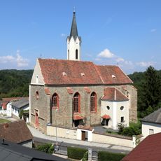
Josefskirche (Stadtschlaining)
22 m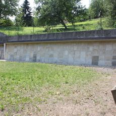
Alter Jüdischer Friedhof Stadtschlaining
117 m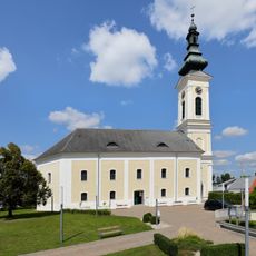
Protestant church in Stadtschlaining
210 m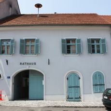
Rathaus Stadtschlaining
251 m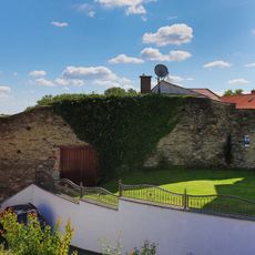
Part of the city wall of Stadtschlaining
195 m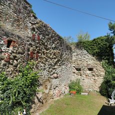
Mauern, Teil d.Stadtmauer
241 m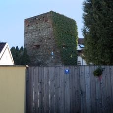
Mauern, Teil d.Stadtmauer
182 m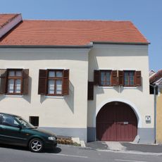
Bürgerhaus
234 m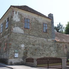
Kath. Volksschule Stadtschlaining
83 m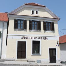
Bürgerhaus
242 m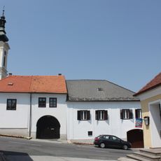
Bürgerhaus
239 m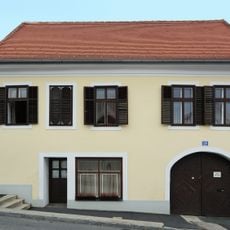
Bürgerhaus
231 m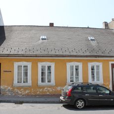
Stadtmuseum Stadtschlaining
225 m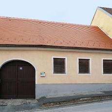
Bürgerhaus
256 m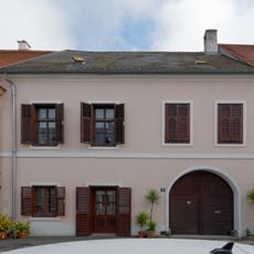
Bürgerhaus
251 m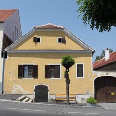
Bürgerhaus
232 m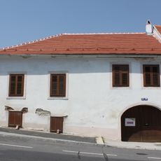
Bürgerhaus
238 m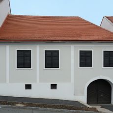
Bürgerhaus
230 m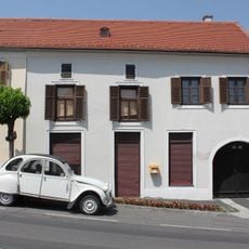
Bürgerhaus
233 m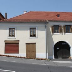
Bürgerhaus
232 m
Bürgerhaus
230 m
Bürgerhaus
241 m
Bürgerhaus
240 m
Bürgerhaus
230 m
Bürgerhaus
240 m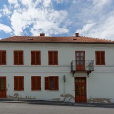
Bürgerhaus
210 m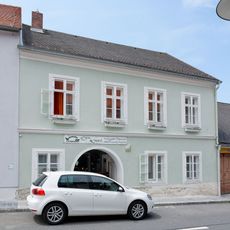
Bürgerhaus
238 m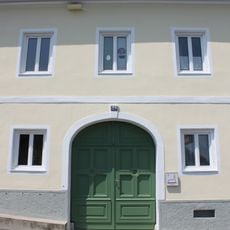
Evang.Pfarramt
236 mReviews
Visited this place? Tap the stars to rate it and share your experience / photos with the community! Try now! You can cancel it anytime.
Discover hidden gems everywhere you go!
From secret cafés to breathtaking viewpoints, skip the crowded tourist spots and find places that match your style. Our app makes it easy with voice search, smart filtering, route optimization, and insider tips from travelers worldwide. Download now for the complete mobile experience.

A unique approach to discovering new places❞
— Le Figaro
All the places worth exploring❞
— France Info
A tailor-made excursion in just a few clicks❞
— 20 Minutes