
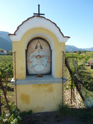
Bildstock, Bildstock in Weißenkirchen in der Wachau (86422)
Location: Weißenkirchen in der Wachau
GPS coordinates: 48.39011,15.46119
Latest update: October 17, 2025 10:40
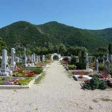
Friedhof Weißenkirchen in der Wachau
308 m
Weißenkirchen in der Wachau 147
901 m
Bauernhaus
882 m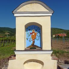
Bildstock
837 m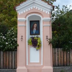
Bildstock
731 m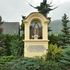
Bildstock
424 m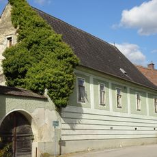
Ehem. Lesehof des Augustiner Chorherren Kloster St. Nikola bei Passau
442 m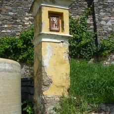
Bildstock
597 m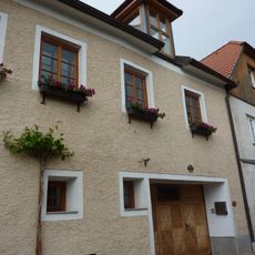
Weißenkirchen Neideggerhof
808 m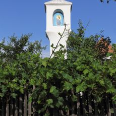
Bildstock
243 m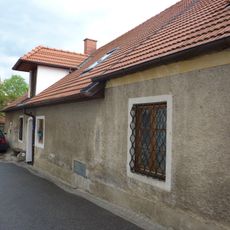
Weißenkirchen in der Wachau 150
858 m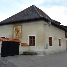
Weißenkirchen in der Wachau 167
879 m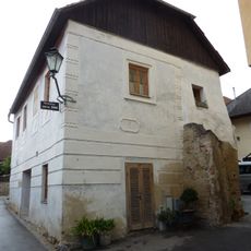
Wohnhaus
870 m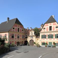
Prandtauerhof in Joching
470 m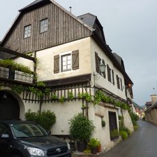
Wohnhaus
794 m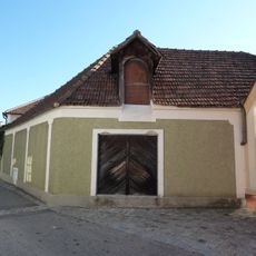
Wohnhaus, Manghof
898 m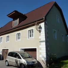
Hauerhaus
361 m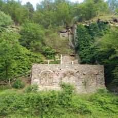
Kalvarienberg/Kreuzweg
699 m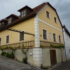
Wohnhaus
851 m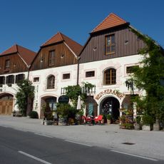
Ehem. Salzstadl
844 m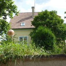
Wohnhaus
726 m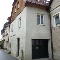
Bürgerhaus
816 m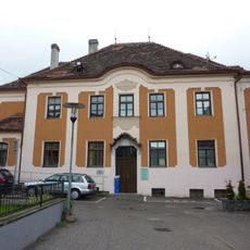
Wohnhaus, Stiftungshaus
884 m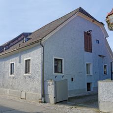
Wohnhaus
885 m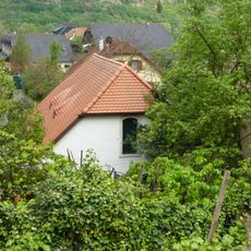
Wohnhaus, ehem. Lesehof
790 m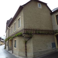
Wohnhaus
777 m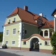
Ehem. Salzstadel
818 m
Wohnhaus
825 mVisited this place? Tap the stars to rate it and share your experience / photos with the community! Try now! You can cancel it anytime.
Discover hidden gems everywhere you go!
From secret cafés to breathtaking viewpoints, skip the crowded tourist spots and find places that match your style. Our app makes it easy with voice search, smart filtering, route optimization, and insider tips from travelers worldwide. Download now for the complete mobile experience.

A unique approach to discovering new places❞
— Le Figaro
All the places worth exploring❞
— France Info
A tailor-made excursion in just a few clicks❞
— 20 Minutes