
Ärztehaus mit Umzäunung, building in Kalwang, Austria
Location: Kalwang
Address: Kalwang 69
GPS coordinates: 47.42400,14.75844
Latest update: March 18, 2025 13:25
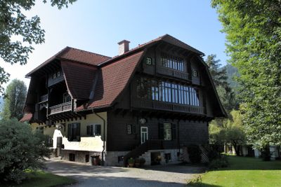
Schloss Ehrnau
4.3 km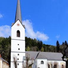
Pfarrkirche Kalwang
447 m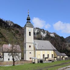
Pfarrkirche Unterwald
5.3 km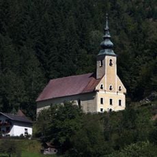
Kath. Filialkirche hl. Sebastian
1 km
Evang. Friedhof und Aufbahrungshalle
5.3 km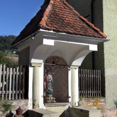
Flur-/Wegkapelle
371 m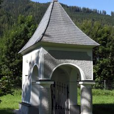
Stellerhof-Kapelle
900 m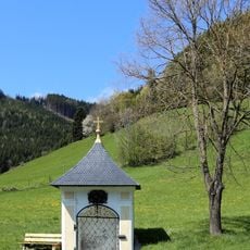
Flur-/Wegkapelle
5.3 km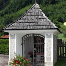
Flur-/Wegkapelle
61 m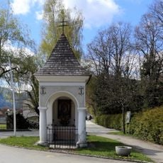
Flur-/Wegkapelle
490 m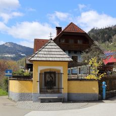
Bildstock
323 m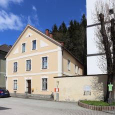
Wohnhaus
472 m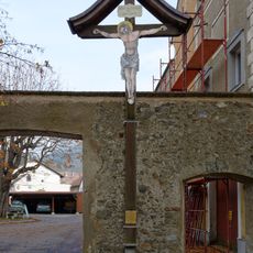
Sog. Missionskreuz
5.6 km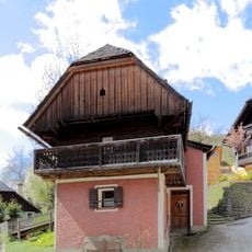
Sogen. Röthlstöckl
660 m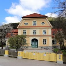
Volksschule mit straßenseitigem Zaun
79 m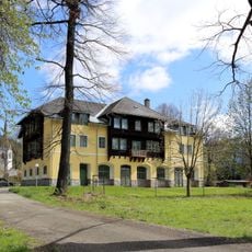
Wohnhaus, Ehem. Fohlenlaufstall
632 m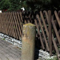
Postmeilenstein
337 m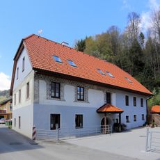
Sogen. Sgraffitohaus
5.5 km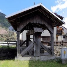
Wehranlage
165 m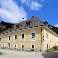
Ehem. Gewerkenhaus Kettenhaus (Schraglhaus)
285 m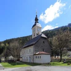
Ehem. evang. Gemeindeschule
5.3 km
Alter evang. Pfarrhof
5.4 km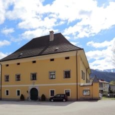
Pfarrhof
413 m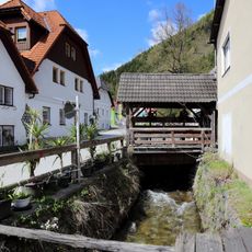
Wehranlage
496 m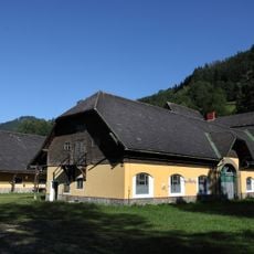
Fohlenhof
769 m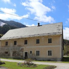
Wirtschaftsgebäude
5.4 km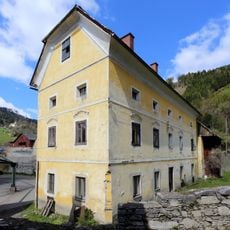
Ehem. Gewerkenhaus (Gangushaus) und Umgrenzungsmauer
276 m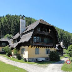
Säge-Kolonie Pisching, Arbeiterwohnhäuser
1 kmReviews
Visited this place? Tap the stars to rate it and share your experience / photos with the community! Try now! You can cancel it anytime.
Discover hidden gems everywhere you go!
From secret cafés to breathtaking viewpoints, skip the crowded tourist spots and find places that match your style. Our app makes it easy with voice search, smart filtering, route optimization, and insider tips from travelers worldwide. Download now for the complete mobile experience.

A unique approach to discovering new places❞
— Le Figaro
All the places worth exploring❞
— France Info
A tailor-made excursion in just a few clicks❞
— 20 Minutes