
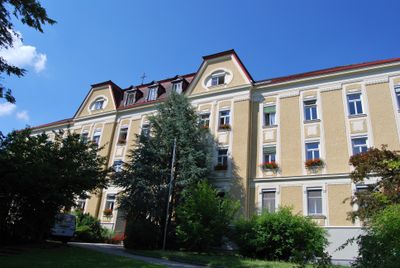
Evangelisches Diakoniewerk Gallneukirchen, Denkmalgeschütztes Objekt in Gallneukirchen (9942)
Location: Gallneukirchen
Address: Hauptstraße 3
GPS coordinates: 48.35285,14.41434
Latest update: March 6, 2025 04:41
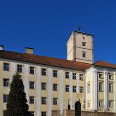
Schloss Riedegg
1.9 km
Burgstall Hohenstein
5.4 km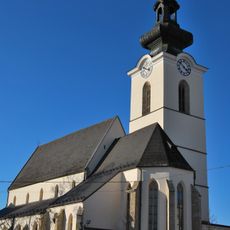
Parish Church of St. Gallus in Gallneukirche
97 m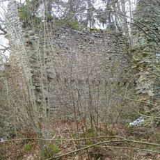
Burgruine Zöch
5.2 km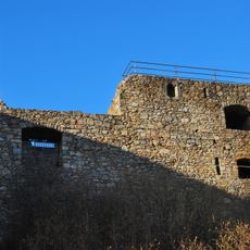
Burgruine Riedegg
1.9 km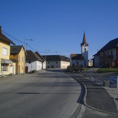
Dorfkapelle Unterweitersdorf
4.2 km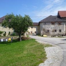
Breitenbruck Castle
5.4 km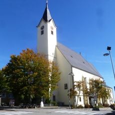
Altenberg Parish Church near Linz
5.2 km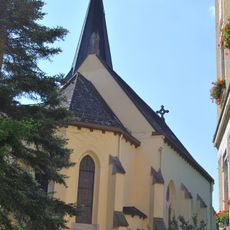
Evangelical Christ Church Gallneukirchen
55 m
Burgruine Klamleiten
5.8 km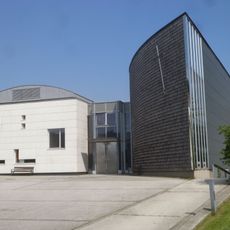
Pfarrkirche Christus der Auferstandene, Engerwitzdorf
4 km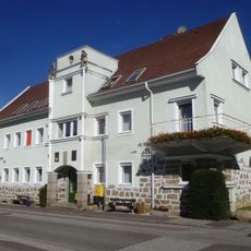
Gemeindeamt
5.4 km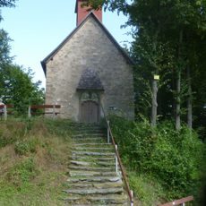
Catholic branch church St. Aegidius
5.4 km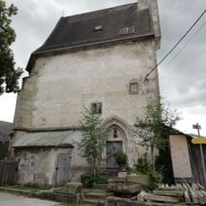
Watzinger-Kapelle, Gallneukirchen
82 m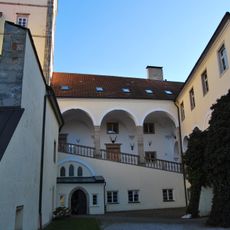
Afrikamuseum (Schloss Riedegg)
1.8 km
Pestsäule Katsdorf
5 km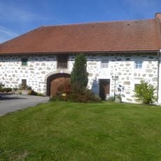
Bauernhof (Anlage)
4.2 km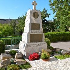
Kriegerdenkmal
5.8 km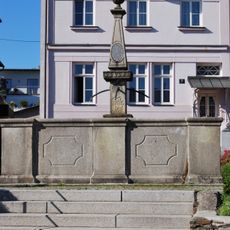
Brunnen
168 m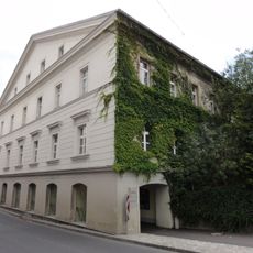
Evangelisches Pfarramt
76 m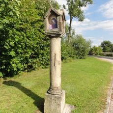
Bildstock
726 m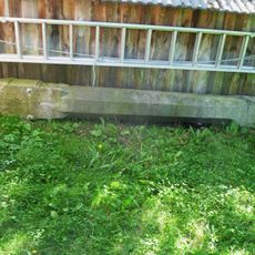
Bildstock
104 m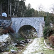
Bürstenbachbrücke
4.5 km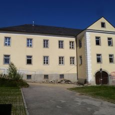
Pfarrhof
91 m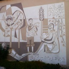
Kunst am Bau, Wandbilder
5.2 km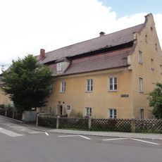
Wohnhaus, ehem. Baderhaus
110 m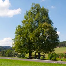
Zwei Winterlinden in Oberweitrag
4.2 km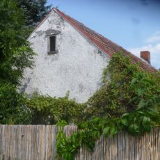
Wachthaus 45 der Pferdeeisenbahn Linz-Budweis
1.1 kmVisited this place? Tap the stars to rate it and share your experience / photos with the community! Try now! You can cancel it anytime.
Discover hidden gems everywhere you go!
From secret cafés to breathtaking viewpoints, skip the crowded tourist spots and find places that match your style. Our app makes it easy with voice search, smart filtering, route optimization, and insider tips from travelers worldwide. Download now for the complete mobile experience.

A unique approach to discovering new places❞
— Le Figaro
All the places worth exploring❞
— France Info
A tailor-made excursion in just a few clicks❞
— 20 Minutes