
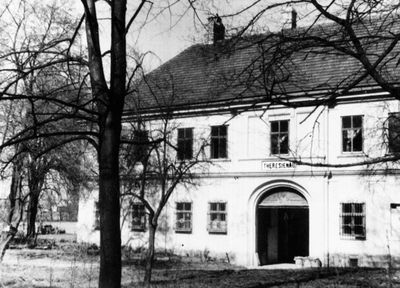
Theresienau, Perchtoldsdorf, Landgut und heute Ortsteil von Perchtoldsdorf
Location: Perchtoldsdorf
Inception: 18 century
GPS coordinates: 48.12662,16.29750
Latest update: March 2, 2025 23:43

Pfarrkirche Liesing
1.4 km
Volksschule Basler Gasse
1.2 km
Wiener Flur
1.3 km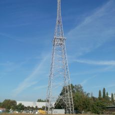
Sender Liesing
1.1 km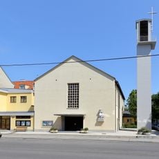
Parish church Siebenhirten
1.1 km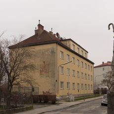
Wohnhausanlage Färbermühlgasse 9
1.3 km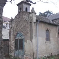
Kapelle Lemböckgasse
724 m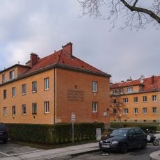
Wohnhausanlage Josef-Endlweber-Gasse 3-5
1.1 km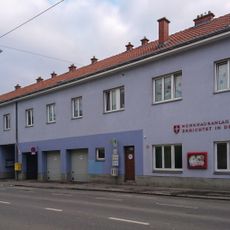
Wohnhausanlage Ketzergasse 101-103
720 m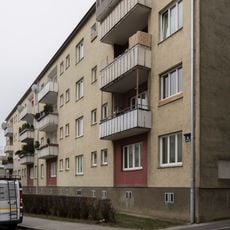
Wohnhausanlage Färbermühlgasse 8
1.3 km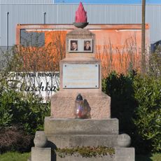
Franz Heindl and Viktor Mrnustik memorial
795 m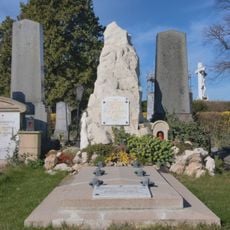
Rudolf Waisenhorn's grave
606 m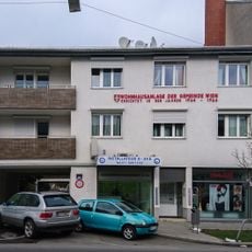
Wohnhausanlage Ketzergasse 26
1.3 km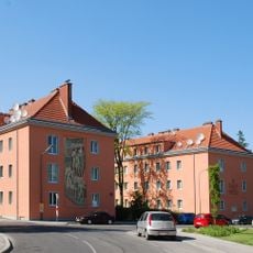
Wohnhausanlage Seybelgasse 3a, 3b, 3c
1.3 km
Wohnhausanlage Ketzergasse 56
1 km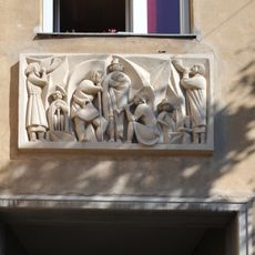
Relief Sieben Hirten by Wander Bertoni
1.2 km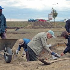
Siedlung der Linearbandkeramik, Brunn am Gebirge
665 m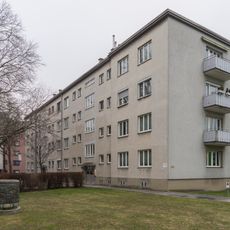
Wohnhausanlage Färbermühlgasse 12-14
1.3 km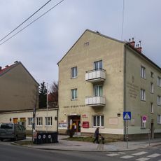
Hans Weber-Hof
1.2 km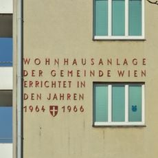
Wohnhausanlage Färbermühlgasse 15
1.2 km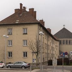
Wohnhausanlage Färbermühlgasse 5
1.4 km
Turnverein Liesing
1 km
Wohnhausanlage Kellerberggasse 55-57
633 m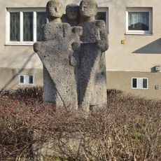
Wohnhausanlage Färbermühlgasse 11
1.3 km
Wohnhausanlage Ketzergasse 42
1.2 km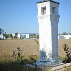
Perchtoldsdorf Bildstock Industriestr
855 m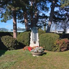
War cemetery Liesing
672 m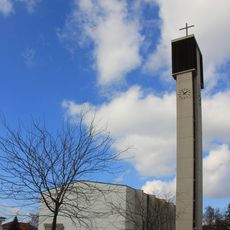
Kath. Filialkirche Maria Königin
1.3 kmVisited this place? Tap the stars to rate it and share your experience / photos with the community! Try now! You can cancel it anytime.
Discover hidden gems everywhere you go!
From secret cafés to breathtaking viewpoints, skip the crowded tourist spots and find places that match your style. Our app makes it easy with voice search, smart filtering, route optimization, and insider tips from travelers worldwide. Download now for the complete mobile experience.

A unique approach to discovering new places❞
— Le Figaro
All the places worth exploring❞
— France Info
A tailor-made excursion in just a few clicks❞
— 20 Minutes