
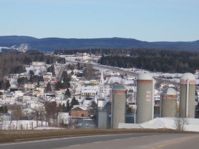
Saint-Tite-des-Caps, municipality in Quebec, Canada
Location: La Côte-de-Beaupré
Inception: December 24, 1872
Elevation above the sea: 700 m
Shares border with: Baie-Saint-Paul
Website: http://sainttitedescaps.com
GPS coordinates: 47.13330,-70.76670
Latest update: March 3, 2025 01:13
Grosse Isle
13.5 km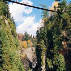
Canyon Sainte-Anne
11 km
Île aux Grues
18.8 km
Seigneurie de la Côte-de-Beaupré
21.2 km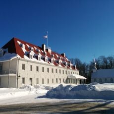
Domaine du Petit Cap
8.5 km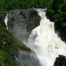
Chute Sainte-Anne
10.6 km
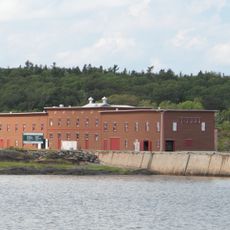
Grosse Île and the Irish Memorial National Historic Site
14.4 km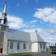
Église Saint-Joachim
10.5 km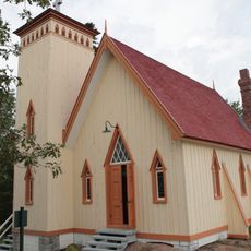
Building 42
14.2 km
Building 48
14 km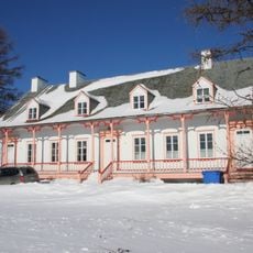
La Grande-Ferme
9.9 km
French People's House
6.4 km
Building 29
14.4 km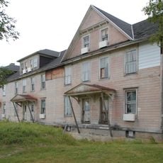
Building 39
14.1 km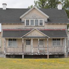
Building 84
13.8 km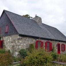
Maison Imbeau
14.2 km
La Petite Ferme, House
7.8 km
Site patrimonial de Petite-Rivière-Saint-François
22.6 km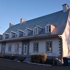
Presbytère de Saint-Joachim
10.6 km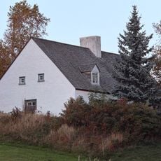
Maison Simard
10.4 km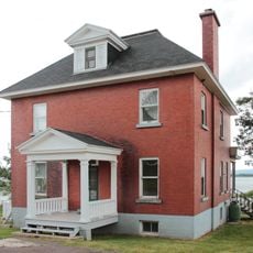
Building 77
13.9 km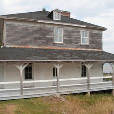
Building 38
14.3 km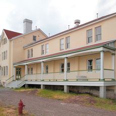
Building 14
14.5 km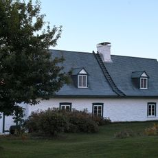
Maison Côté
7.5 km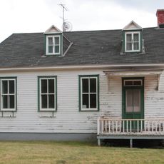
Building 71
14 km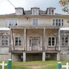
Building 49
14 km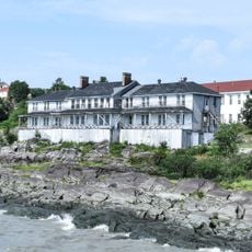
Building 16
14.5 km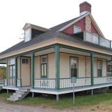
Building 34
14.3 kmReviews
Visited this place? Tap the stars to rate it and share your experience / photos with the community! Try now! You can cancel it anytime.
Discover hidden gems everywhere you go!
From secret cafés to breathtaking viewpoints, skip the crowded tourist spots and find places that match your style. Our app makes it easy with voice search, smart filtering, route optimization, and insider tips from travelers worldwide. Download now for the complete mobile experience.

A unique approach to discovering new places❞
— Le Figaro
All the places worth exploring❞
— France Info
A tailor-made excursion in just a few clicks❞
— 20 Minutes