
Saint-Lucien, municipality in Quebec, Canada
Location: Drummond
Inception: November 11, 1907
Shares border with: Notre-Dame-du-Bon-Conseil
Website: http://saint-lucien.ca
GPS coordinates: 45.86670,-72.26670
Latest update: March 22, 2025 06:43
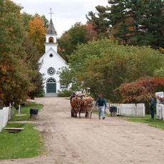
Village Québécois d'Antan
17.4 km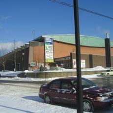
Centre Marcel Dionne
17.6 km
Saint-Nicéphore
12.5 km
Parc Marie-Victorin
15.2 km
Drummondville Public Library
17.1 km
Chute-Hemmings Generating Station
14.3 km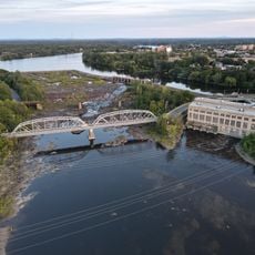
Drummondville Generating Station
17 km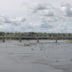
Pont de la Traverse
17.5 km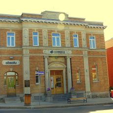
Bank of Montreal Building
17.4 km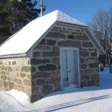
Receiving tomb of Saint-Cyrille-de-Wendover
14.4 km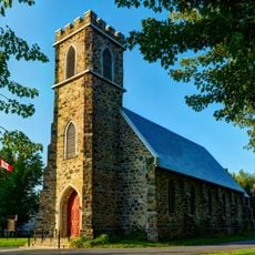
Église Saint-George de Drummondville
17.2 km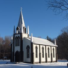
Église Saint-Paul de Sydenham Place
8.3 km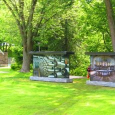
Parc Woodyatt
17.2 km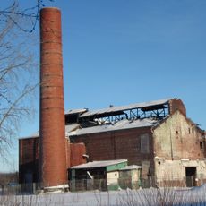
Dominion Silk Dyeing and Printing Company Mill
16.7 km
Cinéma Capitol
17.3 km
Ancien hôpital Sainte-Croix
17.2 km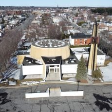
Église de Saint-Pie X
18 km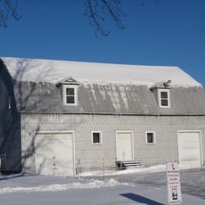
Grange-écurie de Saint-Cyrille-de-Wendover
14.3 km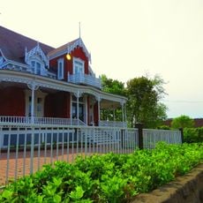
Maison Joseph-Trefflé-Caya
17.4 km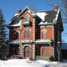
Maison et écurie William-Mitchell
17.8 km
Site du patrimoine du Parc-Saint-Frédéric
17.3 km
École Saint-Frédéric
16.9 km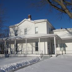
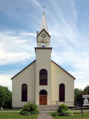
Presbytère de Saint-Cyrille
14.3 km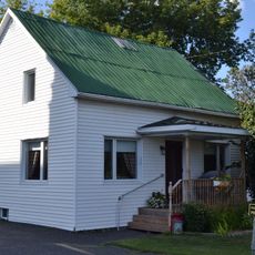
Maison du Sacristain
14.3 km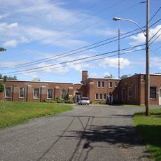
Ancien poste de transmission Marconi
15.9 km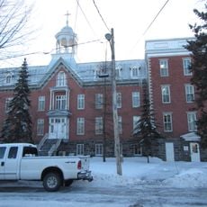
Ancien pensionnat de Drummondville
17.5 km
Maison Joseph-Wilfrid-Faucher
16.9 km
Carré Celanese
16.5 kmReviews
Visited this place? Tap the stars to rate it and share your experience / photos with the community! Try now! You can cancel it anytime.
Discover hidden gems everywhere you go!
From secret cafés to breathtaking viewpoints, skip the crowded tourist spots and find places that match your style. Our app makes it easy with voice search, smart filtering, route optimization, and insider tips from travelers worldwide. Download now for the complete mobile experience.

A unique approach to discovering new places❞
— Le Figaro
All the places worth exploring❞
— France Info
A tailor-made excursion in just a few clicks❞
— 20 Minutes