
Underhay House, farmhouse in Kings County, Prince Edward Island
Location: Kings County
Address: 1610 Route 310
GPS coordinates: 46.30975,-62.38911
Latest update: March 16, 2025 03:19
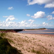
Prince Edward Island National Park
54 km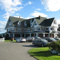
Dalvay-by-the-Sea
53.8 km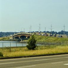
Hillsborough River Bridge
55.7 km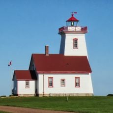
Wood Islands Lighthouse
48.6 km
Red Point Provincial Park
49 km
St. Peters Harbour Light
31.2 km
Wood Islands Provincial Park
47.8 km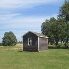
Brudenell River Provincial Park
19 km
Annandale Range Lights
6.2 km
Haszard Point Range Front
54.2 km
Cape Bear Lighthouse
34.6 km
Panmure Head Lighthouse
19.3 km
Shipwreck Point Lighthouse
18 km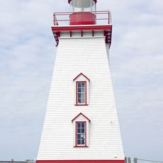
Souris East Lighthouse
11.7 km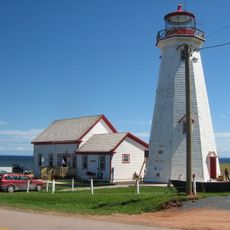
East Point Lighthouse
35.8 km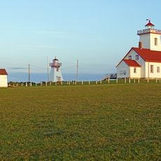
Phare de Wood Islands (Range Rear)
48.6 km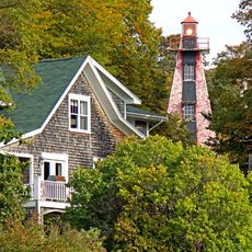
Haszard Point Range Rear Light
53.9 km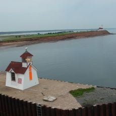
Phare de Wood Islands (Range Front)
48.6 km
Clifton United Church
54.6 km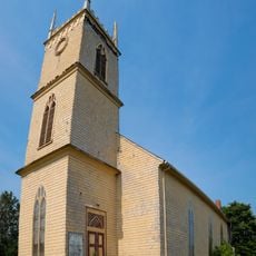
Holy Trinity Anglican Church
17.8 km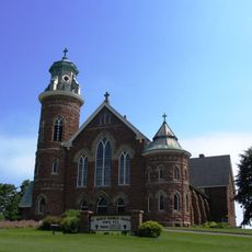
St. Mary's Roman Catholic Church
11.8 km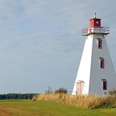
Murray Harbour Back Range Light
33.8 km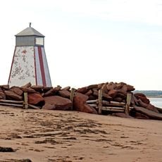
Murray Harbour Front Range Light
32.8 km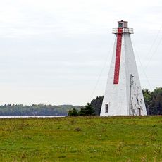
Annandale Rear Range Light
6.1 km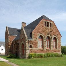
Kings County Courthouse
17.9 km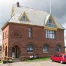
Garden of the Gulf Museum
25.7 km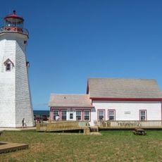
East Point Fog Alarm Building
35.8 km
Railway Turntable, Montague
25.2 kmReviews
Visited this place? Tap the stars to rate it and share your experience / photos with the community! Try now! You can cancel it anytime.
Discover hidden gems everywhere you go!
From secret cafés to breathtaking viewpoints, skip the crowded tourist spots and find places that match your style. Our app makes it easy with voice search, smart filtering, route optimization, and insider tips from travelers worldwide. Download now for the complete mobile experience.

A unique approach to discovering new places❞
— Le Figaro
All the places worth exploring❞
— France Info
A tailor-made excursion in just a few clicks❞
— 20 Minutes