
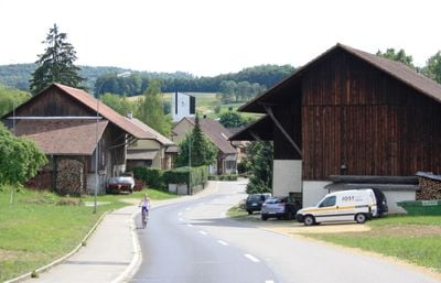
Zeihen, municipality in the canton of Aargau in Switzerland
Location: Laufenburg District
Elevation above the sea: 441 m
Part of: RPV Fricktal Regio
Shares border with: Hornussen, Ueken, Herznach
Website: https://zeihen.ch
GPS coordinates: 47.47750,8.08472
Latest update: March 3, 2025 02:18
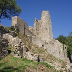
Schenkenberg castle ruin
4.1 km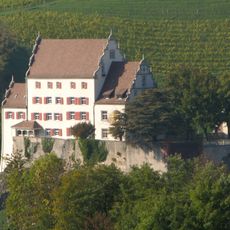
Kasteln Castle
4.8 km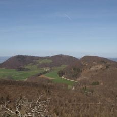
Strihe
4.8 km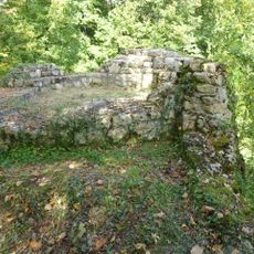
Ruine Urgiz
3.1 km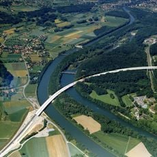
Aare viaduct
6.1 km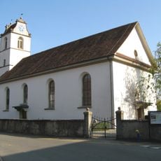
Reformed church with Erlach chapel
5.6 km
Herzberg
5.3 km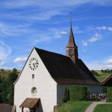
Evangelical reformed church
3.6 km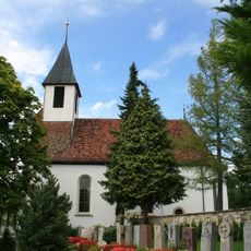
Evangelical reformed parish church
2 km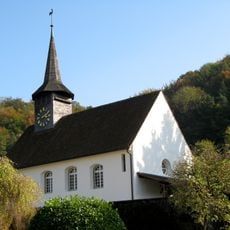
Evangelical reformed parish church
5 km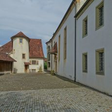
Roman catholic rectory
2.7 km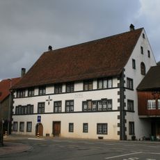
Former Amtshaus of Säckingen
3 km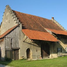
Tithe House
5.8 km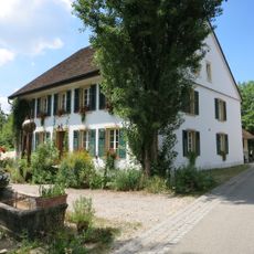
Laur house
1.9 km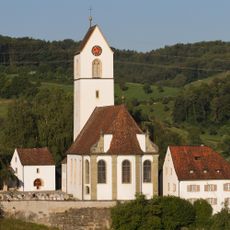
Parish yard with catholic church St. Nikolaus
2.7 km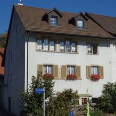
Former Untervogtei
5.7 km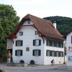
Evangelical-reformed vicarage
4.8 km
House (1677)
5.6 km
Former hospital
5.5 km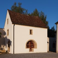
Ossuary
2.7 km
Former upper mill
5.5 km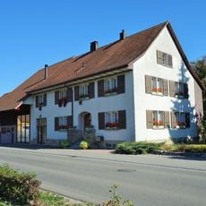
Residential house
6 km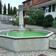
Village fountain
5.6 km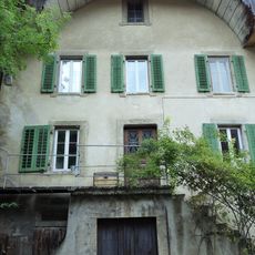
Former Untervogtei
5.5 km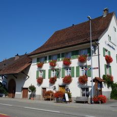
Zum Bären inn
2 km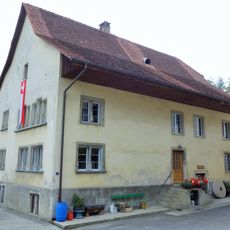
Former middle mill
5.5 km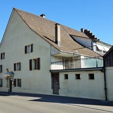
Gasthaus "zum Bären"
6 km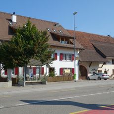
Farmhouse, former tithe house
2 kmReviews
Visited this place? Tap the stars to rate it and share your experience / photos with the community! Try now! You can cancel it anytime.
Discover hidden gems everywhere you go!
From secret cafés to breathtaking viewpoints, skip the crowded tourist spots and find places that match your style. Our app makes it easy with voice search, smart filtering, route optimization, and insider tips from travelers worldwide. Download now for the complete mobile experience.

A unique approach to discovering new places❞
— Le Figaro
All the places worth exploring❞
— France Info
A tailor-made excursion in just a few clicks❞
— 20 Minutes